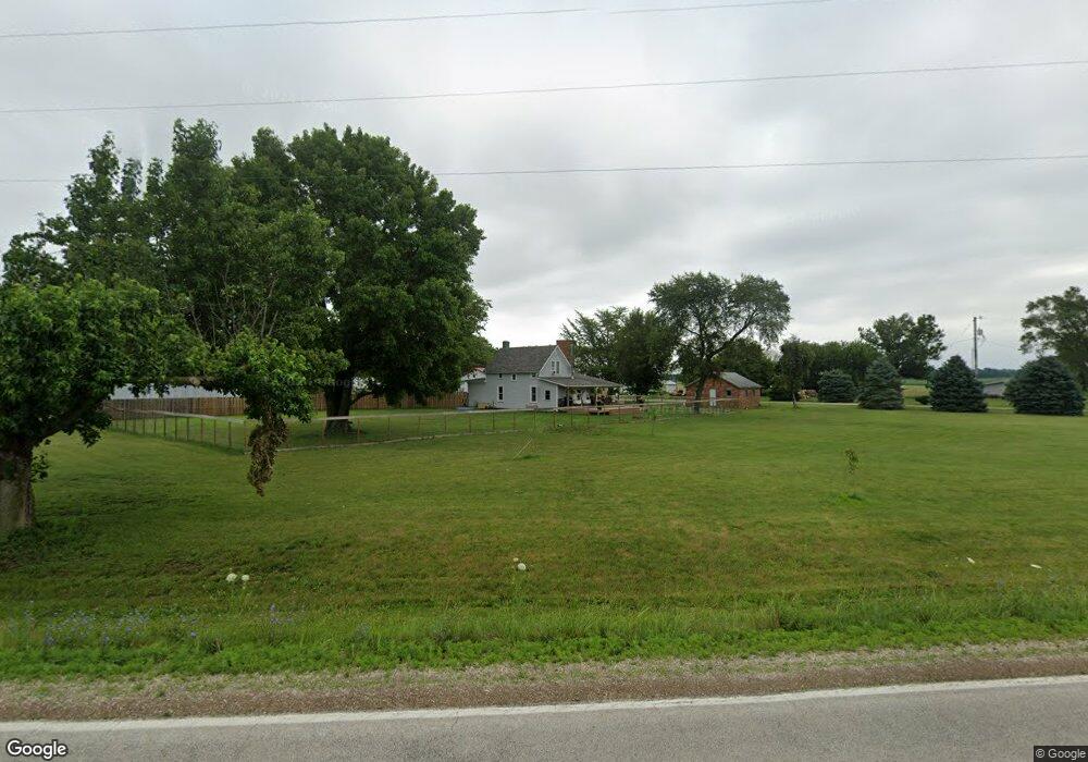
3645 N 400 East Rd Mc Lean, IL 61754
Estimated Value: $207,000 - $232,000
--
Bed
1
Bath
1,086
Sq Ft
$197/Sq Ft
Est. Value
About This Home
This home is located at 3645 N 400 East Rd, Mc Lean, IL 61754 and is currently estimated at $214,363, approximately $197 per square foot. 3645 N 400 East Rd is a home located in McLean County with nearby schools including Olympia High School.
Ownership History
Date
Name
Owned For
Owner Type
Purchase Details
Closed on
May 8, 2024
Sold by
Gibson Devin James and Gibson Kristen
Bought by
Howard J Heatherwick Revocable Living Trust and Debra L Heatherwick Revocable Living Trust
Current Estimated Value
Purchase Details
Closed on
May 10, 2022
Sold by
Whiteside Kent D and Whiteside Lisa M
Bought by
Gibson Devin James and Gibson Kristen
Purchase Details
Closed on
Nov 29, 2006
Sold by
Huffington Dorothy
Bought by
Whiteside Kent D and Whiteside Lisa M
Home Financials for this Owner
Home Financials are based on the most recent Mortgage that was taken out on this home.
Original Mortgage
$93,000
Interest Rate
4.92%
Create a Home Valuation Report for This Property
The Home Valuation Report is an in-depth analysis detailing your home's value as well as a comparison with similar homes in the area
Home Values in the Area
Average Home Value in this Area
Purchase History
| Date | Buyer | Sale Price | Title Company |
|---|---|---|---|
| Howard J Heatherwick Revocable Living Trust | $200,000 | None Listed On Document | |
| Gibson Devin James | $150,000 | Bugg Todd E | |
| Whiteside Kent D | $112,000 | None Available |
Source: Public Records
Mortgage History
| Date | Status | Borrower | Loan Amount |
|---|---|---|---|
| Previous Owner | Whiteside Kent D | $93,000 |
Source: Public Records
Tax History Compared to Growth
Tax History
| Year | Tax Paid | Tax Assessment Tax Assessment Total Assessment is a certain percentage of the fair market value that is determined by local assessors to be the total taxable value of land and additions on the property. | Land | Improvement |
|---|---|---|---|---|
| 2024 | $4,312 | $60,063 | $15,676 | $44,387 |
| 2022 | $4,312 | $48,675 | $12,704 | $35,971 |
| 2021 | $4,066 | $45,837 | $11,963 | $33,874 |
| 2020 | $3,996 | $45,000 | $11,745 | $33,255 |
| 2019 | $3,550 | $40,037 | $11,745 | $28,292 |
| 2018 | $3,569 | $40,037 | $11,745 | $28,292 |
| 2017 | $3,027 | $40,037 | $11,745 | $28,292 |
| 2016 | $2,942 | $39,310 | $11,532 | $27,778 |
| 2015 | $2,828 | $38,058 | $11,165 | $26,893 |
| 2014 | $1,590 | $25,672 | $10,855 | $14,817 |
| 2013 | -- | $25,421 | $10,749 | $14,672 |
Source: Public Records
Map
Nearby Homes
- 3625 N 400 Rd E
- 2988 N 400 Rd E
- 2241 N 200 East Rd
- 1517 W Lake Ct
- 46 N Lake Dr
- Lot 46 E Lake Ct
- 5 Sunnyside Estates
- 7 Sunnyside Estates
- 100 NW Walnut St
- 206 NE 4th St
- 205 NE 1st St
- 800 W Hamilton St
- 600 S Pearl St
- 610 SE Vine St
- 505 S Martin St
- 607 S Alexander St
- 906 S Race St
- 131 North St
- 106 W Boundary St
- 407 W Boundary St