3645 N Lonesome Pine Rd Boulder, UT 84716
Estimated Value: $671,732 - $2,324,000
--
Bed
--
Bath
1,911
Sq Ft
$694/Sq Ft
Est. Value
About This Home
This home is located at 3645 N Lonesome Pine Rd, Boulder, UT 84716 and is currently estimated at $1,326,244, approximately $694 per square foot. 3645 N Lonesome Pine Rd is a home.
Create a Home Valuation Report for This Property
The Home Valuation Report is an in-depth analysis detailing your home's value as well as a comparison with similar homes in the area
Home Values in the Area
Average Home Value in this Area
Tax History Compared to Growth
Tax History
| Year | Tax Paid | Tax Assessment Tax Assessment Total Assessment is a certain percentage of the fair market value that is determined by local assessors to be the total taxable value of land and additions on the property. | Land | Improvement |
|---|---|---|---|---|
| 2025 | $1,202 | $565,997 | $430,670 | $135,327 |
| 2024 | $1,688 | $540,790 | $312,161 | $228,629 |
| 2023 | $1,514 | $479,148 | $309,069 | $170,079 |
| 2022 | $1,522 | $443,815 | $281,835 | $161,980 |
| 2021 | $1,582 | $443,815 | $281,835 | $161,980 |
| 2020 | $1,549 | $443,815 | $281,835 | $161,980 |
| 2019 | $1,564 | $443,815 | $281,835 | $161,980 |
| 2018 | $1,536 | $179,258 | $0 | $0 |
| 2017 | $1,475 | $179,258 | $0 | $0 |
| 2016 | $1,475 | $179,258 | $0 | $0 |
| 2015 | $1,526 | $179,258 | $0 | $0 |
| 2012 | $1,526 | $148,793 | $0 | $0 |
Source: Public Records
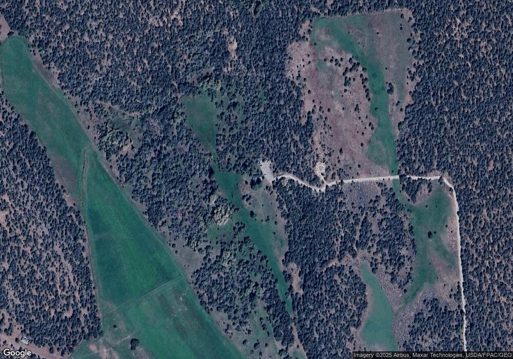
Map
Nearby Homes
- 1049 Utah 12
- 30 N 400 E
- 2277 E Broken Branch West Dr Unit 28
- 301 E 1600 S
- 2405 S Lower Boulder Rd
- 2606 S Lower Boulder Rd
- 1690 S Lower Boulder Rd
- 1345 S 1070 E
- 316 N Pinion Branch Dr N Unit 12B
- 1950 S Lizard Rd
- 385 N 200 W
- 416 E Main St
- 355 Utah 12
- 135 N 100 W
- 1061 E Heritage Ln
- 340 E 200 S
- 533 W 325 N
- 579 W 325 N
- 370 W 100 N
- 20 S 200 W