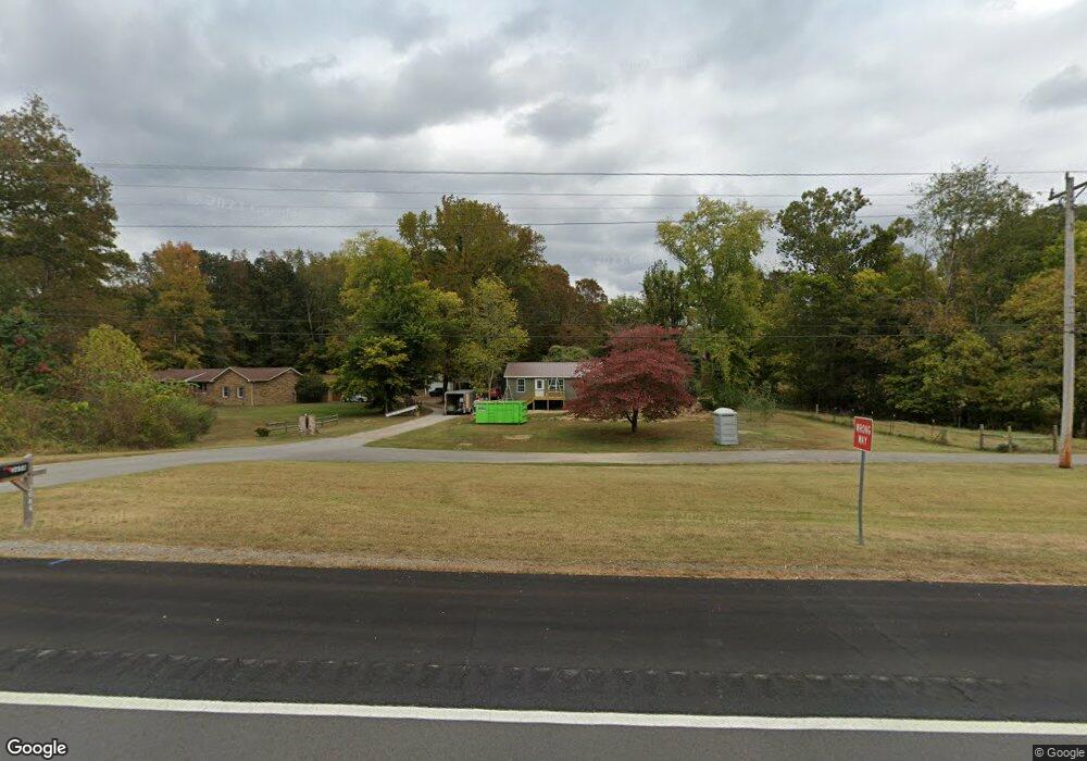
3646 Highway 13 S Waverly, TN 37185
Estimated Value: $65,165 - $160,000
--
Bed
--
Bath
576
Sq Ft
$181/Sq Ft
Est. Value
About This Home
This home is located at 3646 Highway 13 S, Waverly, TN 37185 and is currently estimated at $104,541, approximately $181 per square foot. 3646 Highway 13 S is a home.
Ownership History
Date
Name
Owned For
Owner Type
Purchase Details
Closed on
Apr 28, 2023
Sold by
Smith Presley W and Smith Amanda L
Bought by
Lee David and Lee Peggy
Current Estimated Value
Purchase Details
Closed on
Jan 18, 2013
Sold by
Crowell Patricia K
Bought by
Smith Presley W and Smith Amanda L
Home Financials for this Owner
Home Financials are based on the most recent Mortgage that was taken out on this home.
Original Mortgage
$33,245
Interest Rate
3.39%
Mortgage Type
Cash
Purchase Details
Closed on
Dec 26, 1998
Bought by
Crowell Patricia K
Purchase Details
Closed on
Dec 17, 1993
Bought by
Crowell Alex S
Purchase Details
Closed on
Nov 16, 1988
Bought by
Sensing Pat K
Purchase Details
Closed on
Oct 30, 1986
Bought by
Sensing Pat K and Sensing John R Tarpy
Purchase Details
Closed on
Apr 26, 1985
Purchase Details
Closed on
May 10, 1976
Create a Home Valuation Report for This Property
The Home Valuation Report is an in-depth analysis detailing your home's value as well as a comparison with similar homes in the area
Home Values in the Area
Average Home Value in this Area
Purchase History
| Date | Buyer | Sale Price | Title Company |
|---|---|---|---|
| Lee David | $10,000 | None Listed On Document | |
| Smith Presley W | $40,000 | -- | |
| Crowell Patricia K | -- | -- | |
| Crowell Alex S | $36,000 | -- | |
| Sensing Pat K | $12,500 | -- | |
| Sensing Pat K | -- | -- | |
| -- | -- | -- | |
| -- | -- | -- |
Source: Public Records
Mortgage History
| Date | Status | Borrower | Loan Amount |
|---|---|---|---|
| Previous Owner | Smith Presley W | $33,245 |
Source: Public Records
Tax History Compared to Growth
Tax History
| Year | Tax Paid | Tax Assessment Tax Assessment Total Assessment is a certain percentage of the fair market value that is determined by local assessors to be the total taxable value of land and additions on the property. | Land | Improvement |
|---|---|---|---|---|
| 2025 | $228 | $12,625 | $0 | $0 |
| 2024 | $228 | $12,400 | $1,900 | $10,500 |
| 2023 | $228 | $12,400 | $1,900 | $10,500 |
| 2022 | $222 | $10,175 | $2,775 | $7,400 |
| 2021 | $222 | $10,175 | $2,775 | $7,400 |
| 2020 | $222 | $10,175 | $2,775 | $7,400 |
| 2019 | $176 | $8,650 | $2,725 | $5,925 |
| 2018 | $176 | $8,650 | $2,725 | $5,925 |
| 2017 | $176 | $8,650 | $2,725 | $5,925 |
| 2016 | $183 | $8,325 | $2,725 | $5,600 |
| 2015 | $183 | $8,325 | $2,725 | $5,600 |
| 2014 | $183 | $8,312 | $0 | $0 |
Source: Public Records
Map
Nearby Homes
- 4551 Highway 13 S
- 954 S Buchanan Rd
- 695 Bucket Branch Rd
- 1270 N Buchanan Rd
- 0 W Blue Creek Rd
- 1825 Highway 13 S
- 1640 Bucket Branch Rd
- 781 Highway 13 S
- 0 Rustic Valley Dr Unit RTC2887773
- 0 Prince Phillip Ct Unit RTC2825233
- 0 Forrest Crossing Unit 16796966
- 0 Forrest Crossing Unit RTC2657467
- 0 Blackhawk Ct Unit RTC2621595
- 0 Prince Phillip Ct Unit RTC2447764
- 0 Old Skyline Dr Unit RTC3015061
- 205 Hillwood Dr
- 100 Browning St
- 205 Armstrong St
- 130 Fairground Dr
- 413 E Main St
- 3630 Highway 13 S
- 3712 Highway 13 S
- 3588 Highway 13 S
- 3556 Highway 13 S
- 64 Pumpkin Creek Rd
- 0 Highway 230
- 160 Pumpkin Creek Rd
- 3390 Highway 13 S
- 0 Highway 13 S Unit 1859784
- 0 Highway 13 S Unit 1933219
- 0 Highway 13 S Unit 1930010
- 0 Highway 13 S Unit 1928717
- 0 Highway 13 S Unit RTC2618118
- 0 Highway 13 S Unit RTC2593215
- 0 Highway 13 S Unit RTC2575442
- 0 Highway 13 S Unit RTC1779212
- 0 Highway 13 S Unit RTC1764234
- 0 Highway 13 S Unit RTC1729607
- 0 Highway 13 S Unit RTC2296029
- 0 Highway 13 S Unit 2223726