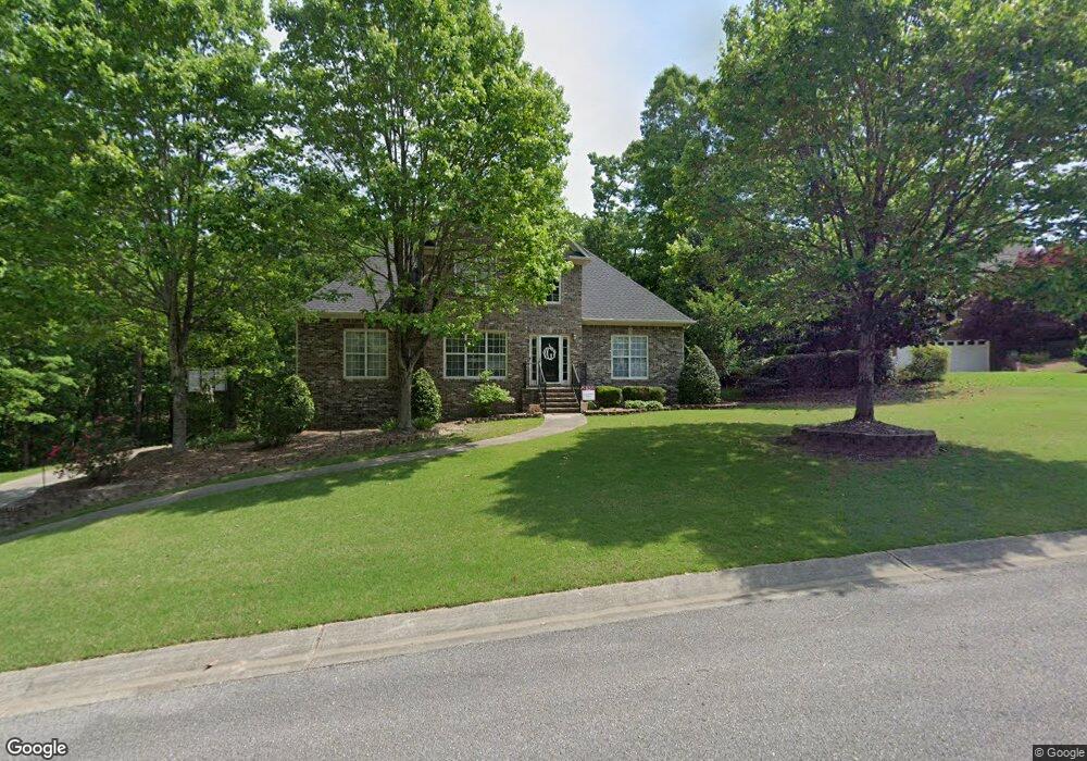
365 Knightsbridge Alabaster, AL 35007
Estimated Value: $402,000 - $480,000
4
Beds
3
Baths
3,259
Sq Ft
$135/Sq Ft
Est. Value
About This Home
This home is located at 365 Knightsbridge, Alabaster, AL 35007 and is currently estimated at $440,984, approximately $135 per square foot. 365 Knightsbridge is a home located in Shelby County with nearby schools including Thompson Intermediate School, Thompson Middle School, and Thompson High School.
Ownership History
Date
Name
Owned For
Owner Type
Purchase Details
Closed on
Jun 30, 2011
Sold by
Nowak Joseph and Nowak Patricia G
Bought by
Gregory Andrue Tyler and Gregory Sara Elizabeth
Current Estimated Value
Home Financials for this Owner
Home Financials are based on the most recent Mortgage that was taken out on this home.
Original Mortgage
$275,405
Outstanding Balance
$190,451
Interest Rate
4.62%
Mortgage Type
New Conventional
Estimated Equity
$250,533
Purchase Details
Closed on
Mar 8, 2001
Sold by
J E Pate Development Co Inc
Bought by
Nowak Joseph and Nowak Patricia G
Home Financials for this Owner
Home Financials are based on the most recent Mortgage that was taken out on this home.
Original Mortgage
$215,000
Interest Rate
7.09%
Purchase Details
Closed on
Oct 16, 2000
Sold by
Greenbriar Ltd
Bought by
Farris Management Co Inc
Create a Home Valuation Report for This Property
The Home Valuation Report is an in-depth analysis detailing your home's value as well as a comparison with similar homes in the area
Home Values in the Area
Average Home Value in this Area
Purchase History
| Date | Buyer | Sale Price | Title Company |
|---|---|---|---|
| Gregory Andrue Tyler | $289,900 | None Available | |
| Nowak Joseph | -- | -- | |
| Farris Management Co Inc | $30,000 | -- |
Source: Public Records
Mortgage History
| Date | Status | Borrower | Loan Amount |
|---|---|---|---|
| Open | Gregory Andrue Tyler | $275,405 | |
| Previous Owner | Nowak Joseph | $215,000 |
Source: Public Records
Tax History
| Year | Tax Paid | Tax Assessment Tax Assessment Total Assessment is a certain percentage of the fair market value that is determined by local assessors to be the total taxable value of land and additions on the property. | Land | Improvement |
|---|---|---|---|---|
| 2024 | $1,998 | $37,000 | $0 | $0 |
| 2023 | $1,836 | $34,760 | $0 | $0 |
| 2022 | $1,702 | $32,280 | $0 | $0 |
| 2021 | $1,527 | $29,040 | $0 | $0 |
| 2020 | $1,449 | $27,600 | $0 | $0 |
| 2019 | $1,408 | $26,840 | $0 | $0 |
| 2017 | $1,393 | $26,560 | $0 | $0 |
| 2015 | $1,340 | $25,580 | $0 | $0 |
| 2014 | $1,308 | $24,980 | $0 | $0 |
Source: Public Records
Map
Nearby Homes
- 217 Kensington Ln
- 549 Ramsgate Dr
- 413 Cornwall Dr
- 545 Ramsgate Dr
- 120 Sterling Gate Dr
- 309 Cedar Grove Ct
- 305 Cedar Grove Ct
- 316 Sterling Manor Cir
- 280 Cedar Grove Pkwy
- 544 Ramsgate Dr
- 125 Mountain Pkwy
- 537 Ramsgate Dr
- 132 Victoria Station
- 312 Cornwall Dr
- 174 Cedar Grove Pkwy
- 306 Mayfair Cir
- 236 Queens Gate
- 116 Palm Dr
- 208 Queens Gate
- 501 Ramsgate Dr
- 250 Kensington Ln
- 248 Kensington Ln
- 381 Knightsbridge
- 259 Kensington Ln
- 260 Kensington Ln
- 244 Kensington Ln
- 241 Kensington Ln
- 261 Kensington Ln
- 240 Kensington Ln
- 264 Kensington Ln
- 386 Knightsbridge
- 237 Kensington Ln
- 236 Kensington Ln
- 263 Kensington Ln
- 268 Kensington Ln
- 388 Knightsbridge
- 233 Kensington Ln
- 232 Kensington Ln
- 390 Knightsbridge
- 395 Knightsbridge
Your Personal Tour Guide
Ask me questions while you tour the home.