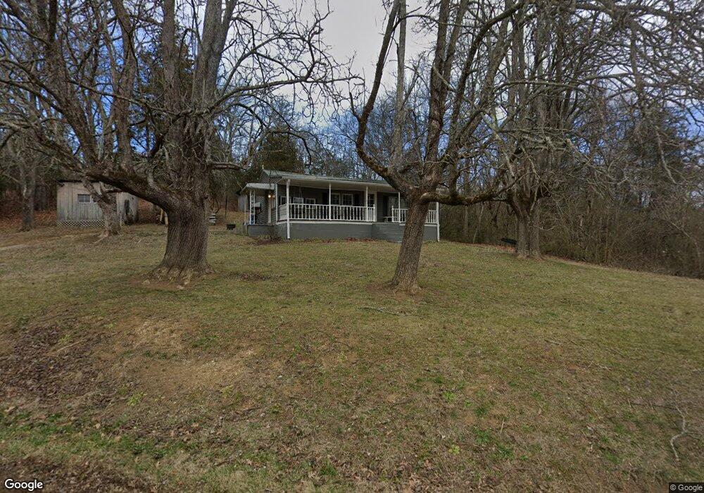
365 McCowan Creek Rd Newport, TN 37821
Estimated Value: $241,000 - $518,001
--
Bed
1
Bath
825
Sq Ft
$516/Sq Ft
Est. Value
About This Home
This home is located at 365 McCowan Creek Rd, Newport, TN 37821 and is currently estimated at $425,334, approximately $515 per square foot. 365 McCowan Creek Rd is a home located in Cocke County with nearby schools including Centerview Elementary School and Cocke County High School.
Ownership History
Date
Name
Owned For
Owner Type
Purchase Details
Closed on
Apr 3, 1992
Bought by
Corn Jason C Tonette
Current Estimated Value
Purchase Details
Closed on
Aug 1, 1991
Bought by
Waddell Elbert L and Waddell Carol M
Purchase Details
Closed on
Jun 26, 1989
Bought by
Holt Orville E and Holt Betty Jo
Purchase Details
Closed on
Jan 2, 1983
Create a Home Valuation Report for This Property
The Home Valuation Report is an in-depth analysis detailing your home's value as well as a comparison with similar homes in the area
Home Values in the Area
Average Home Value in this Area
Purchase History
| Date | Buyer | Sale Price | Title Company |
|---|---|---|---|
| Corn Jason C Tonette | $60,400 | -- | |
| Waddell Elbert L | $46,000 | -- | |
| Holt Orville E | $44,300 | -- | |
| -- | -- | -- |
Source: Public Records
Tax History Compared to Growth
Tax History
| Year | Tax Paid | Tax Assessment Tax Assessment Total Assessment is a certain percentage of the fair market value that is determined by local assessors to be the total taxable value of land and additions on the property. | Land | Improvement |
|---|---|---|---|---|
| 2024 | $1,873 | $73,150 | $18,650 | $54,500 |
| 2023 | $1,873 | $73,150 | $18,650 | $54,500 |
| 2022 | $1,876 | $73,150 | $18,650 | $54,500 |
| 2021 | $1,876 | $73,150 | $18,650 | $54,500 |
| 2020 | $1,876 | $73,150 | $18,650 | $54,500 |
| 2019 | $1,893 | $66,875 | $17,625 | $49,250 |
| 2018 | $1,893 | $66,875 | $17,625 | $49,250 |
| 2017 | $1,939 | $66,875 | $17,625 | $49,250 |
| 2016 | $1,730 | $66,875 | $17,625 | $49,250 |
| 2015 | $1,654 | $66,875 | $17,625 | $49,250 |
| 2014 | $1,654 | $66,875 | $17,625 | $49,250 |
| 2013 | $1,654 | $68,925 | $15,250 | $53,675 |
Source: Public Records
Map
Nearby Homes
- 2128 Holt Town Rd
- 00 Henry Rd
- 0 Buford Rd
- 2600 Moore Ridge Rd
- 2395 Howard Rd
- Lots 6 & 7 Corn Hollow Rd
- Lot 7 Corn Hollow Rd
- Lot 6 Corn Hollow Rd
- 0 Corn Hollow Rd
- 836 Fowlers Ridge Rd
- 1455 Hill Rd
- 1585 Hill Rd
- Tbd1 Briar Thicket Rd
- 790 Lonesome Pine Rd
- 00 Fowler Grove Rd
- 0 Fowler Grove Rd
- 3569 Leadvale Rd
- 1570 River Path
- 3441 Glendale Rd
- 5715 Fishing Rod Ln
- 355 McCowan Creek Rd
- 390 McCowan Creek Rd
- 398 McCowan Creek Rd
- 339 McCowan Creek Rd
- 410 McCowan Creek Rd
- 430 McCowan Creek Rd
- 2815 Point Pleasant Rd
- 455 McCowan Creek Rd
- 455 McCowan Creek Rd
- 458 McCowan Creek Rd
- 2490 Holt Town Rd
- 2690 Point Pleasant Rd
- 0 Snow Hollow Way Unit 577176
- 2525 Ravine Way
- 2525 Ravine Way
- 2519 Ravine Way
- 2201 Highway 160
- 121 Warbler Way
- 345 Snow Hollow Rd
- 2641 Holt Town Rd