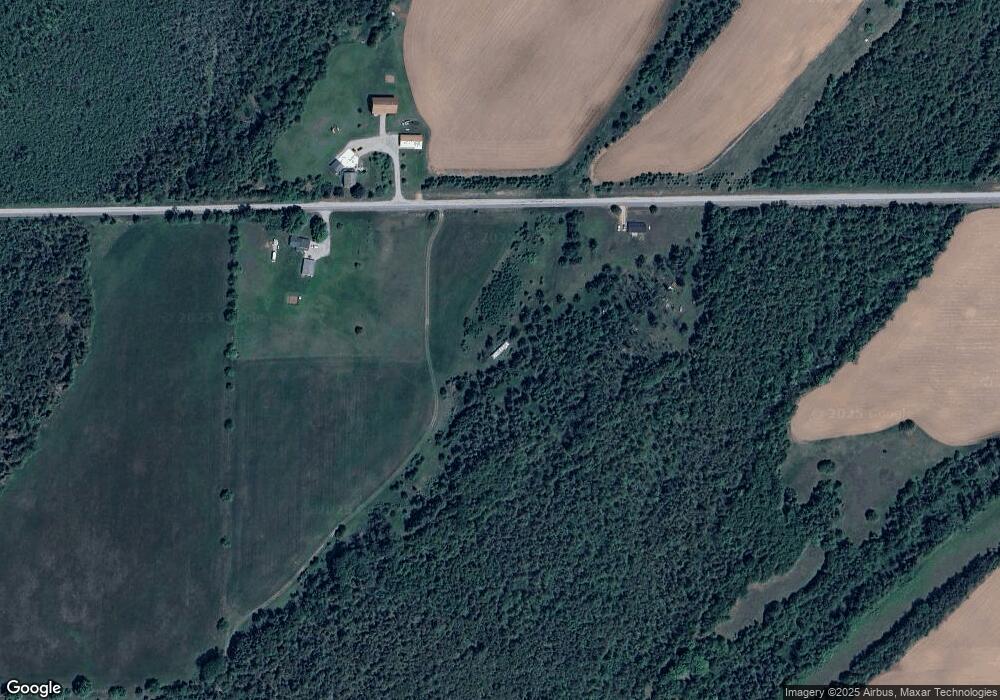
365 Mile Rd Powers, MI 49874
Estimated Value: $120,000 - $145,000
Studio
--
Bath
384
Sq Ft
$335/Sq Ft
Est. Value
About This Home
This home is located at 365 Mile Rd, Powers, MI 49874 and is currently estimated at $128,573, approximately $334 per square foot. 365 Mile Rd is a home with nearby schools including North Central Elementary School and North Central Area Junior/Senior High School.
Create a Home Valuation Report for This Property
The Home Valuation Report is an in-depth analysis detailing your home's value as well as a comparison with similar homes in the area
Tax History
| Year | Tax Paid | Tax Assessment Tax Assessment Total Assessment is a certain percentage of the fair market value that is determined by local assessors to be the total taxable value of land and additions on the property. | Land | Improvement |
|---|---|---|---|---|
| 2025 | $548 | $37,900 | $32,500 | $5,400 |
| 2024 | $493 | $32,700 | $28,000 | $4,700 |
| 2023 | $96 | $33,300 | $33,300 | $0 |
| 2020 | $96 | $32,500 | $0 | $0 |
| 2019 | -- | $30,900 | $0 | $0 |
| 2018 | -- | $30,300 | $30,300 | $0 |
| 2017 | -- | $30,500 | $30,500 | $0 |
| 2016 | -- | $29,500 | $0 | $0 |
| 2015 | -- | $29,500 | $0 | $0 |
| 2014 | -- | $29,400 | $29,400 | $0 |
| 2013 | $96 | $29,500 | $0 | $0 |
Source: Public Records
Map
Nearby Homes
- W6349 Greenwood Ave
- W3657 Greenwood Ave
- TBD E Labelle Rd
- W3751 Oak Ave
- W3966 #32 Rd
- N16246 Co 557 Rd
- W2813 3-1 Ln
- W4777 Lahay Rd
- 3143 D Rd
- N11798 Old Us41 Hwy
- TBD Cr 400 Parcel B Rd
- N17375 County Road 579
- G-3 Schuster Ln
- 1070 Michigan 35
- W715 Rd
- 18856 Vega Rd
- N9615 Badish Rd
- W7481 Stoll Ln
- TBD M35
- N9264 U S 41
Your Personal Tour Guide
Ask me questions while you tour the home.