365 Northern Spy Cir Howard, OH 43028
Apple Valley NeighborhoodEstimated Value: $754,000 - $972,901
3
Beds
3
Baths
2,600
Sq Ft
$333/Sq Ft
Est. Value
About This Home
This home is located at 365 Northern Spy Cir, Howard, OH 43028 and is currently estimated at $865,634, approximately $332 per square foot. 365 Northern Spy Cir is a home located in Knox County with nearby schools including East Knox Elementary School and East Knox High School.
Ownership History
Date
Name
Owned For
Owner Type
Purchase Details
Closed on
Jul 1, 2010
Sold by
Hufford Billy Steven and Hufford Barbara L
Bought by
Gavin Daniel J and Gavin Elizabeth A
Current Estimated Value
Home Financials for this Owner
Home Financials are based on the most recent Mortgage that was taken out on this home.
Original Mortgage
$325,200
Outstanding Balance
$216,639
Interest Rate
4.77%
Mortgage Type
New Conventional
Estimated Equity
$648,995
Purchase Details
Closed on
May 27, 1987
Sold by
Knerr Donna L
Bought by
Knerr William D and Hufford Ba
Create a Home Valuation Report for This Property
The Home Valuation Report is an in-depth analysis detailing your home's value as well as a comparison with similar homes in the area
Home Values in the Area
Average Home Value in this Area
Purchase History
| Date | Buyer | Sale Price | Title Company |
|---|---|---|---|
| Gavin Daniel J | $305,250 | None Available | |
| Knerr William D | $42,500 | -- |
Source: Public Records
Mortgage History
| Date | Status | Borrower | Loan Amount |
|---|---|---|---|
| Open | Gavin Daniel J | $325,200 |
Source: Public Records
Tax History Compared to Growth
Tax History
| Year | Tax Paid | Tax Assessment Tax Assessment Total Assessment is a certain percentage of the fair market value that is determined by local assessors to be the total taxable value of land and additions on the property. | Land | Improvement |
|---|---|---|---|---|
| 2024 | $11,157 | $273,530 | $162,280 | $111,250 |
| 2023 | $11,157 | $273,530 | $162,280 | $111,250 |
| 2022 | $8,934 | $188,650 | $111,920 | $76,730 |
| 2021 | $8,934 | $188,650 | $111,920 | $76,730 |
| 2020 | $8,526 | $188,650 | $111,920 | $76,730 |
| 2019 | $6,839 | $138,860 | $91,570 | $47,290 |
| 2018 | $6,411 | $138,860 | $91,570 | $47,290 |
| 2017 | $6,361 | $138,860 | $91,570 | $47,290 |
| 2016 | $5,980 | $128,580 | $84,790 | $43,790 |
| 2015 | $5,452 | $128,580 | $84,790 | $43,790 |
| 2014 | $5,461 | $128,580 | $84,790 | $43,790 |
| 2013 | $4,861 | $108,750 | $63,760 | $44,990 |
Source: Public Records
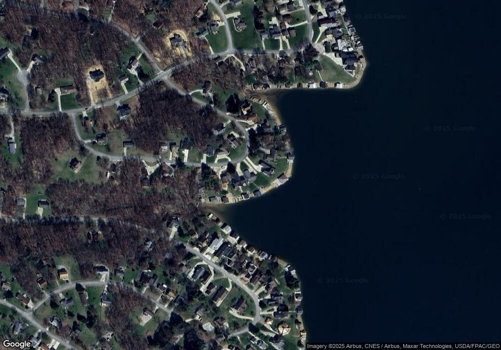
Map
Nearby Homes
- 406 Crabapple Dr
- 531 Crabapple Dr
- 232 Northern Spy Dr
- 265 Lakeview Heights Dr
- 770 Winesap Cir
- 719 Winesap Cir
- 318 Crabapple Dr
- 561 Mcintosh Dr
- 667 Winesap Cir
- 214 Crabapple Dr
- 610 Crabapple Dr
- 558 Crabapple Dr
- 177 Lakeview Heights Dr
- 43 Hawkeye Ct
- 629 Mcintosh Dr
- 93 Crabapple Ct
- 882 Winesap Dr
- 882 Winesap Dr Unit 197
- 1176 Apple Valley Dr
- 512 Greenacre Cir
- 361 Northern Spy Cir
- 373 Northern Spy Cir
- 357 Northern Spy Cir
- 377 Northern Spy Cir
- 356 Northern Spy Cir
- 353 Northern Spy Cir
- 380 Northern Spy Cir
- 369 Northern Spy Cir
- 381 Northern Spy Cir
- 349 Northern Spy Cir
- 350 Northern Spy Cir
- 388 Northern Spy Cir
- 385 Northern Spy Cir
- 389 Northern Spy Cir
- 342 Northern Spy Cir
- 475 Crabapple Dr
- 479 Crabapple Dr
- 471 Crabapple Dr
- 398 Northern Spy Cir
- 467 Crabapple Dr