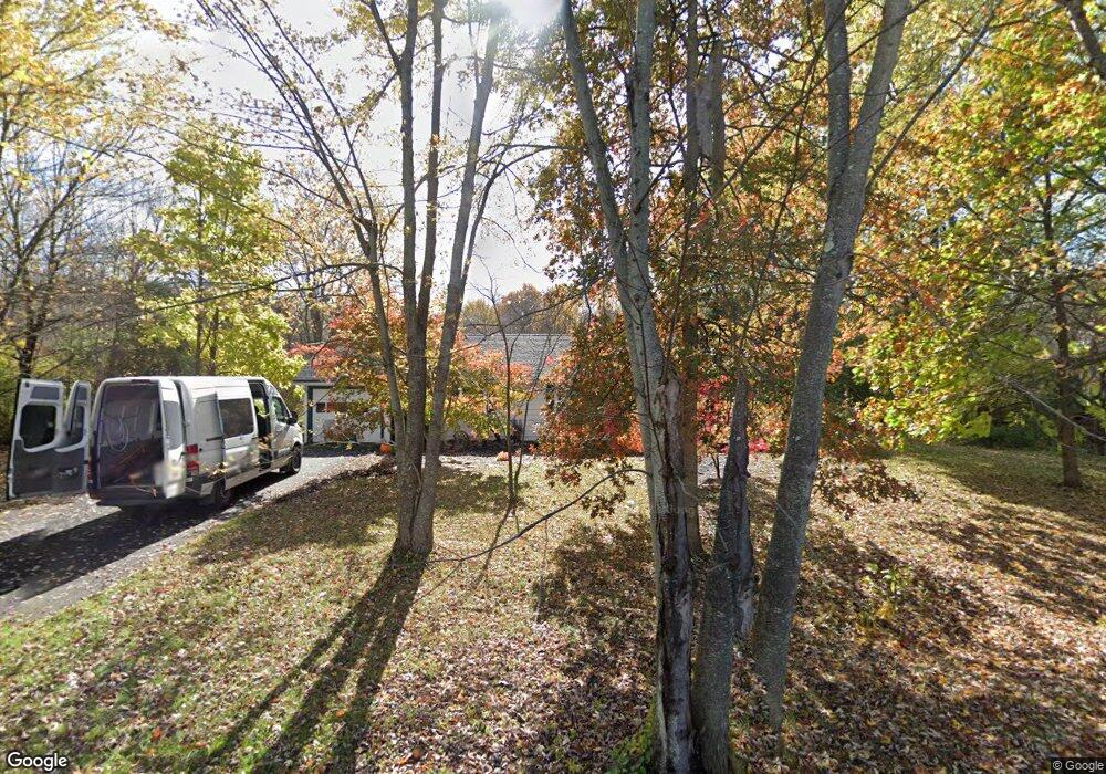
365 Potwine Ln Amherst, MA 01002
Estimated Value: $383,000 - $433,000
3
Beds
1
Bath
1,078
Sq Ft
$377/Sq Ft
Est. Value
About This Home
This home is located at 365 Potwine Ln, Amherst, MA 01002 and is currently estimated at $406,763, approximately $377 per square foot. 365 Potwine Ln is a home located in Hampshire County with nearby schools including Crocker Farm Elementary School, Amherst Regional Middle School, and Amherst Regional High School.
Ownership History
Date
Name
Owned For
Owner Type
Purchase Details
Closed on
Aug 27, 1992
Sold by
Marchetto Donne S and Marchetto Mary T
Bought by
Hewitt Richard and Hewitt Helen
Current Estimated Value
Home Financials for this Owner
Home Financials are based on the most recent Mortgage that was taken out on this home.
Original Mortgage
$50,000
Interest Rate
8.09%
Mortgage Type
Purchase Money Mortgage
Create a Home Valuation Report for This Property
The Home Valuation Report is an in-depth analysis detailing your home's value as well as a comparison with similar homes in the area
Home Values in the Area
Average Home Value in this Area
Purchase History
| Date | Buyer | Sale Price | Title Company |
|---|---|---|---|
| Hewitt Richard | $94,500 | -- |
Source: Public Records
Mortgage History
| Date | Status | Borrower | Loan Amount |
|---|---|---|---|
| Open | Hewitt Richard | $44,600 | |
| Closed | Hewitt Richard | $49,500 | |
| Closed | Hewitt Richard | $50,000 | |
| Previous Owner | Hewitt Richard | $81,750 |
Source: Public Records
Tax History Compared to Growth
Tax History
| Year | Tax Paid | Tax Assessment Tax Assessment Total Assessment is a certain percentage of the fair market value that is determined by local assessors to be the total taxable value of land and additions on the property. | Land | Improvement |
|---|---|---|---|---|
| 2025 | $59 | $330,300 | $198,800 | $131,500 |
| 2024 | $5,779 | $312,200 | $187,700 | $124,500 |
| 2023 | $5,588 | $278,000 | $170,600 | $107,400 |
| 2022 | $5,424 | $255,000 | $155,100 | $99,900 |
| 2021 | $5,154 | $236,200 | $143,700 | $92,500 |
| 2020 | $5,036 | $236,200 | $143,700 | $92,500 |
| 2019 | $4,968 | $227,900 | $143,700 | $84,200 |
| 2018 | $4,818 | $227,900 | $143,700 | $84,200 |
| 2017 | $4,715 | $216,000 | $136,800 | $79,200 |
| 2016 | $4,584 | $216,000 | $136,800 | $79,200 |
| 2015 | $4,437 | $216,000 | $136,800 | $79,200 |
Source: Public Records
Map
Nearby Homes
- 365 Middle St
- 324 Pomeroy Ln
- 500 West St Unit 6
- 551 West St
- 6 Evening Star Dr
- 66 Longmeadow Dr
- 1730 S East St
- 0 W Pomeroy Ln
- 170 E Hadley Rd Unit 123
- 170 E Hadley Rd Unit 46
- 100 Larkspur Dr
- 148 Wildflower Dr
- 13 Vista Terrace
- 53 Pine Grove Unit 53
- 19 Baldwin Ln
- 57 Tanglewood Rd
- 130 Linden Ridge Rd
- 96 Logtown Rd
- 26 Greenleaves Dr Unit 620
- 265 Stanley St