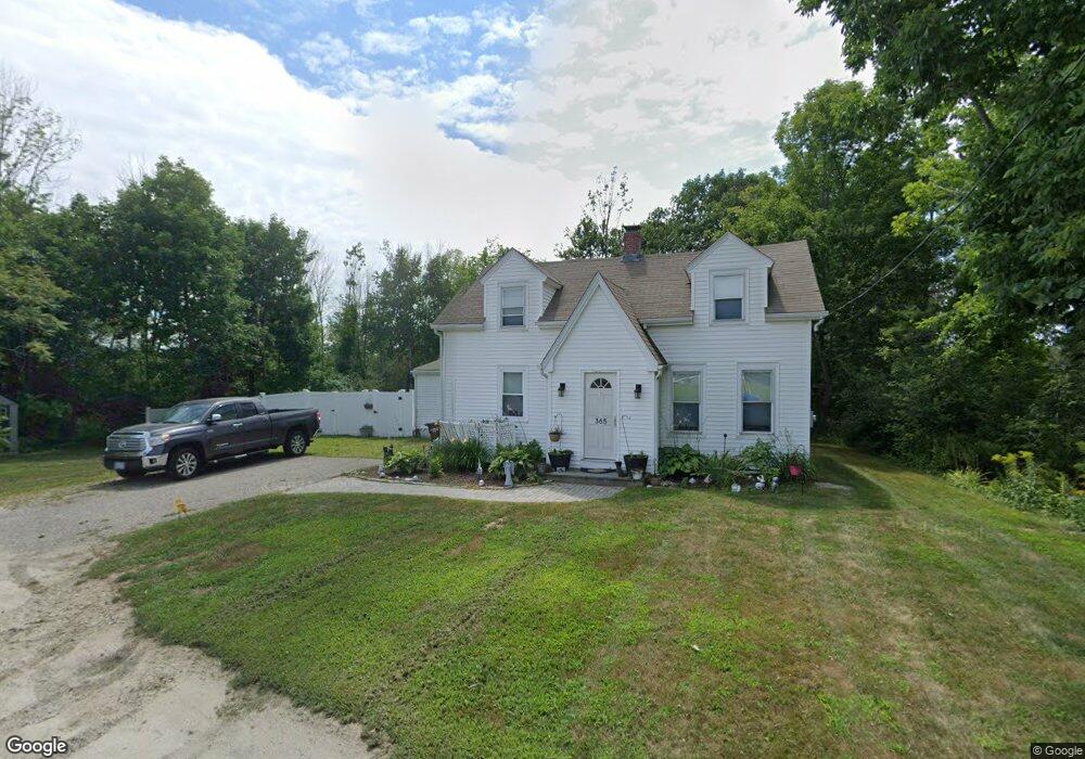
365 Shattuck Way Portsmouth, NH 03801
Estimated Value: $639,519 - $666,000
3
Beds
2
Baths
2,120
Sq Ft
$307/Sq Ft
Est. Value
About This Home
This home is located at 365 Shattuck Way, Portsmouth, NH 03801 and is currently estimated at $650,130, approximately $306 per square foot. 365 Shattuck Way is a home located in Rockingham County with nearby schools including Newington Public School.
Ownership History
Date
Name
Owned For
Owner Type
Purchase Details
Closed on
Dec 8, 2017
Sold by
Ester C B Wong Lt
Bought by
Belanger Robert W
Current Estimated Value
Home Financials for this Owner
Home Financials are based on the most recent Mortgage that was taken out on this home.
Original Mortgage
$240,000
Outstanding Balance
$203,969
Interest Rate
3.94%
Mortgage Type
New Conventional
Estimated Equity
$446,161
Purchase Details
Closed on
May 12, 2017
Sold by
Estes Ralph G
Bought by
Estes Ft
Purchase Details
Closed on
May 4, 2015
Sold by
Wong Esther
Bought by
Esther Wong Living Ret
Create a Home Valuation Report for This Property
The Home Valuation Report is an in-depth analysis detailing your home's value as well as a comparison with similar homes in the area
Home Values in the Area
Average Home Value in this Area
Purchase History
| Date | Buyer | Sale Price | Title Company |
|---|---|---|---|
| Belanger Robert W | $300,000 | -- | |
| Estes Ft | -- | -- | |
| Esther Wong Living Ret | -- | -- |
Source: Public Records
Mortgage History
| Date | Status | Borrower | Loan Amount |
|---|---|---|---|
| Open | Belanger Robert W | $240,000 |
Source: Public Records
Tax History Compared to Growth
Tax History
| Year | Tax Paid | Tax Assessment Tax Assessment Total Assessment is a certain percentage of the fair market value that is determined by local assessors to be the total taxable value of land and additions on the property. | Land | Improvement |
|---|---|---|---|---|
| 2024 | $3,665 | $465,100 | $232,000 | $233,100 |
| 2023 | $5,264 | $312,600 | $167,600 | $145,000 |
| 2022 | $3,088 | $312,600 | $167,600 | $145,000 |
| 2021 | $3,120 | $312,600 | $167,600 | $145,000 |
| 2020 | $3,092 | $312,600 | $167,600 | $145,000 |
| 2018 | $2,875 | $310,100 | $190,100 | $120,000 |
| 2017 | $2,477 | $272,200 | $190,100 | $82,100 |
| 2016 | $3,242 | $272,200 | $190,100 | $82,100 |
| 2015 | $2,586 | $272,200 | $190,100 | $82,100 |
| 2014 | $2,522 | $259,500 | $174,800 | $84,700 |
| 2011 | $2,173 | $242,800 | $110,100 | $132,700 |
Source: Public Records
Map
Nearby Homes
- 10 Shipwright Way
- 36 Shipwright Way
- 71 Shipwright Way
- 0 Franks Fort Island Unit 1631886
- SLIP 15 Little Bay Marina
- 18 Little Bay Dr
- 33 Little Bay Dr
- 27 Wentworth Terrace
- 28 Little Bay Dr
- 348 Dover Point Rd
- 0 Cote Dr
- 354 Dover Point Rd
- 10 Shipping Ln
- 15 Shipping Ln
- 18 Rockafellow Trail
- 25 Rogers Point Dr
- 5 Blue Heron Dr
- 1116 State Rd
- 59 Clearwater Dr
- 1092 State Rd
- 365 Shattuck Way
- 21 River Rd
- 47 Riverbrook
- 47 River Rd
- 19 Nimble Hill Rd
- 25 Nimble Hill Rd
- 49 Nimble Hill Rd
- 32 Nimble Hill Rd
- 32 Nimble Hill Rd Unit 1
- 0 Nimble Hill Rd
- 00 Nimble Hill Rd
- 0 Nimble Hill Rd Unit 4027356
- 0 Nimble Hill Rd Unit 4067200
- 0 Nimble Hill Rd Unit 4034433
- 0 Nimble Hill Rd Unit 4690136
- 57 Nimble Hill Rd
- 48 Nimble Hill Rd
- 56 Nimble Hill Rd
- 436 Shattuck Way
- 62 Nimble Hill Rd