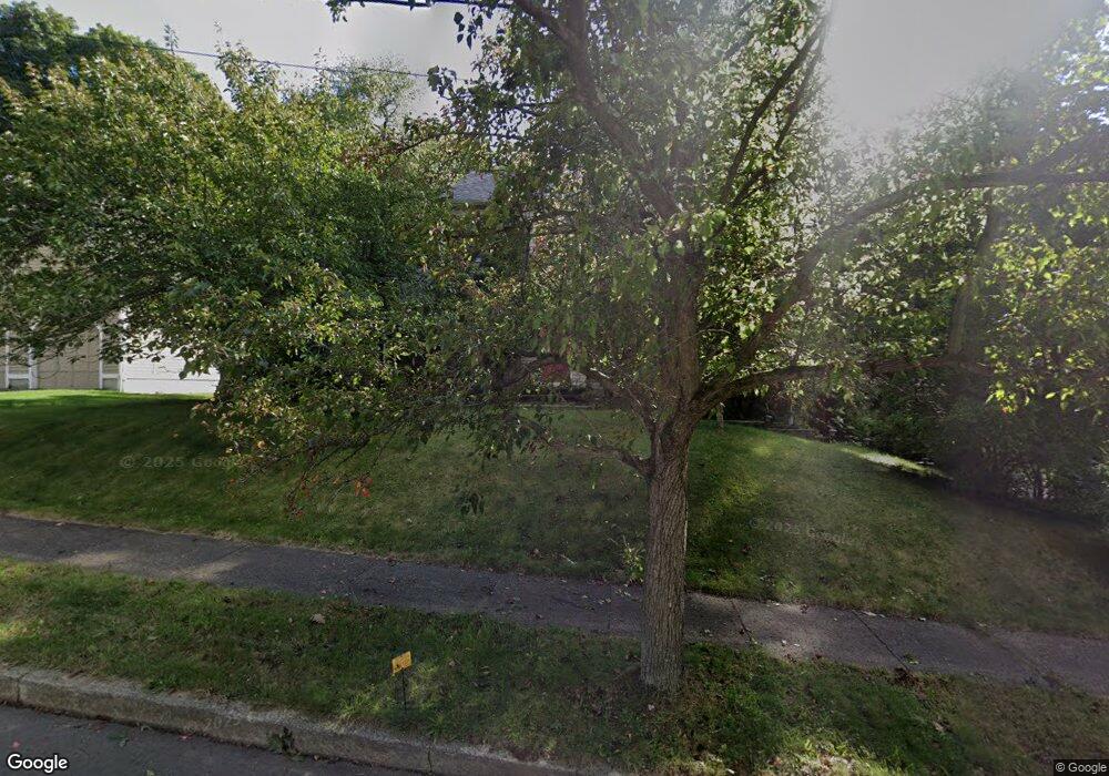
365 Stevenson Rd New Haven, CT 06515
Westville NeighborhoodEstimated Value: $487,000 - $536,417
3
Beds
3
Baths
1,970
Sq Ft
$260/Sq Ft
Est. Value
About This Home
This home is located at 365 Stevenson Rd, New Haven, CT 06515 and is currently estimated at $511,709, approximately $259 per square foot. 365 Stevenson Rd is a home located in New Haven County with nearby schools including Elm City Montessori School and Hopkins School.
Ownership History
Date
Name
Owned For
Owner Type
Purchase Details
Closed on
Jan 8, 1999
Sold by
Tom David and Tom Claudia
Bought by
Kogan Piuter A and Fainstein Julia
Current Estimated Value
Home Financials for this Owner
Home Financials are based on the most recent Mortgage that was taken out on this home.
Original Mortgage
$133,600
Interest Rate
6.8%
Mortgage Type
Purchase Money Mortgage
Purchase Details
Closed on
Jun 25, 1992
Sold by
Fontan Julio P
Bought by
Tom David and Tom Claudia T
Purchase Details
Closed on
Feb 17, 1989
Sold by
Westland Devel
Bought by
Fontan J Julio P
Create a Home Valuation Report for This Property
The Home Valuation Report is an in-depth analysis detailing your home's value as well as a comparison with similar homes in the area
Home Values in the Area
Average Home Value in this Area
Purchase History
| Date | Buyer | Sale Price | Title Company |
|---|---|---|---|
| Kogan Piuter A | $167,000 | -- | |
| Tom David | $194,000 | -- | |
| Fontan J Julio P | $226,700 | -- |
Source: Public Records
Mortgage History
| Date | Status | Borrower | Loan Amount |
|---|---|---|---|
| Open | Fontan J Julio P | $154,592 | |
| Closed | Fontan J Julio P | $100,599 | |
| Closed | Fontan J Julio P | $60,000 | |
| Closed | Fontan J Julio P | $133,600 |
Source: Public Records
Tax History Compared to Growth
Tax History
| Year | Tax Paid | Tax Assessment Tax Assessment Total Assessment is a certain percentage of the fair market value that is determined by local assessors to be the total taxable value of land and additions on the property. | Land | Improvement |
|---|---|---|---|---|
| 2025 | $2,490 | $63,210 | $63,210 | $0 |
| 2024 | $2,434 | $63,210 | $63,210 | $0 |
| 2023 | $2,351 | $63,210 | $63,210 | $0 |
| 2022 | $8,790 | $221,130 | $63,210 | $157,920 |
| 2021 | $7,289 | $166,110 | $41,020 | $125,090 |
| 2020 | $7,289 | $166,110 | $41,020 | $125,090 |
| 2019 | $7,139 | $166,110 | $41,020 | $125,090 |
| 2018 | $7,139 | $166,110 | $41,020 | $125,090 |
| 2017 | $6,425 | $166,110 | $41,020 | $125,090 |
| 2016 | $7,097 | $170,800 | $42,630 | $128,170 |
| 2015 | $7,097 | $170,800 | $42,630 | $128,170 |
| 2014 | $7,097 | $170,800 | $42,630 | $128,170 |
Source: Public Records
Map
Nearby Homes
- 195 Stevenson Rd
- 690 Forest Rd Unit 793
- 690 Forest Rd Unit 702
- 690 Forest Rd Unit 392
- 690 Forest Rd Unit 511
- 11 Priscilla Rd
- 50 Morris Ave
- 809 Edgewood Ave
- 303 Central Ave
- 52 Highview Ave
- 119 Brooklawn Cir
- 56 Highview Ave
- 80 W Rock Ave
- 55 Marvel Rd
- 20 Maplewood Rd
- 360 Fountain St Unit 6
- 360 Fountain St Unit 5
- 51 Fountain Terrace
- 61 Anthony St
- 133 Fountain St Unit A3
- 355 Stevenson Rd
- 375 Stevenson Rd
- 360 Stevenson Rd
- 345 Stevenson Rd
- 385 Stevenson Rd
- 370 Stevenson Rd
- 374 Stevenson Rd
- 45 Spencer Place
- 390 Stevenson Rd
- 35 Spencer Place
- 325 Stevenson Rd
- 395 Stevenson Rd
- 400 Stevenson Rd
- 410 Stevenson Rd
- 25 Spencer Place
- 46 Spencer Place
- 315 Stevenson Rd
- 415 Stevenson Rd
- 405 Stevenson Rd
- 420 Stevenson Rd