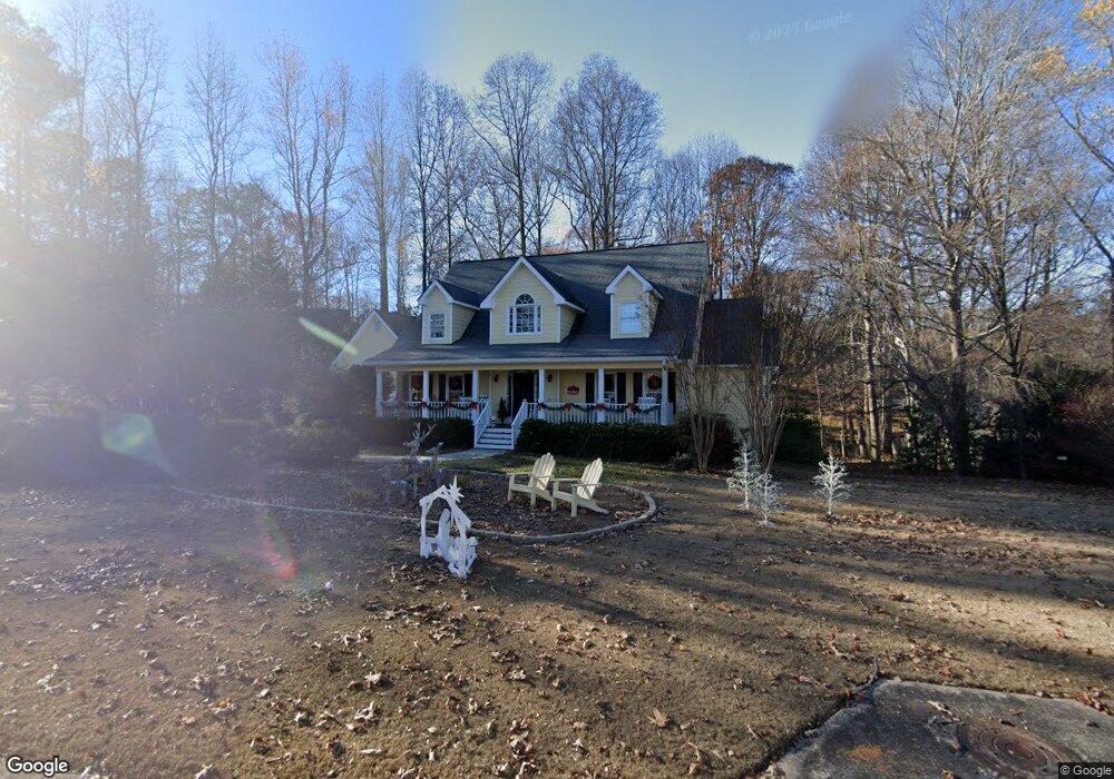
3650 Quail Creek Dr Buford, GA 30519
Estimated Value: $479,000 - $528,000
3
Beds
3
Baths
2,156
Sq Ft
$231/Sq Ft
Est. Value
About This Home
This home is located at 3650 Quail Creek Dr, Buford, GA 30519 and is currently estimated at $497,671, approximately $230 per square foot. 3650 Quail Creek Dr is a home located in Gwinnett County with nearby schools including Harmony Elementary School and Glenn C. Jones Middle School.
Ownership History
Date
Name
Owned For
Owner Type
Purchase Details
Closed on
May 2, 2025
Sold by
Townsend Deborah H
Bought by
Townsend Deborah H and Townsend Robert C
Current Estimated Value
Purchase Details
Closed on
Mar 18, 1994
Sold by
My Builder Inc
Bought by
Townsend Robert C Deborah
Home Financials for this Owner
Home Financials are based on the most recent Mortgage that was taken out on this home.
Original Mortgage
$88,000
Interest Rate
6.97%
Create a Home Valuation Report for This Property
The Home Valuation Report is an in-depth analysis detailing your home's value as well as a comparison with similar homes in the area
Home Values in the Area
Average Home Value in this Area
Purchase History
| Date | Buyer | Sale Price | Title Company |
|---|---|---|---|
| Townsend Deborah H | -- | -- | |
| Townsend Robert C Deborah | $166,000 | -- |
Source: Public Records
Mortgage History
| Date | Status | Borrower | Loan Amount |
|---|---|---|---|
| Previous Owner | Townsend Robert C Deborah | $88,000 |
Source: Public Records
Tax History Compared to Growth
Tax History
| Year | Tax Paid | Tax Assessment Tax Assessment Total Assessment is a certain percentage of the fair market value that is determined by local assessors to be the total taxable value of land and additions on the property. | Land | Improvement |
|---|---|---|---|---|
| 2024 | $1,073 | $171,240 | $39,200 | $132,040 |
| 2023 | $1,073 | $190,120 | $39,200 | $150,920 |
| 2022 | $0 | $155,320 | $27,960 | $127,360 |
| 2021 | $1,025 | $118,680 | $27,960 | $90,720 |
| 2020 | $1,023 | $110,480 | $23,840 | $86,640 |
| 2019 | $950 | $110,480 | $23,840 | $86,640 |
| 2018 | $932 | $99,240 | $18,400 | $80,840 |
| 2016 | $971 | $84,480 | $14,800 | $69,680 |
| 2015 | $993 | $84,480 | $14,800 | $69,680 |
| 2014 | -- | $72,760 | $14,800 | $57,960 |
Source: Public Records
Map
Nearby Homes
- 3600 Devenwood Way
- 2361 Black Bear Ct Unit 2
- 2183 Ivy Crest Dr
- 3684 Heritage Crest Pkwy
- 2692 Bogan Creek Dr
- 2140 Harvest Ridge Cir
- 2040 Harvest Ridge Cir
- 2040 Harvest Ridge Cir NE
- 2330 Chandler Grove Dr
- 3573 Fallen Oak Dr
- 3476 Harvest Ridge Ln
- 3685 Rolling Creek Dr
- 4041 Lost Mill Ln
- 3568 Foxworth Ct
- 3534 Fallen Oak Ln
- 2551 E Maddox Rd
- The Aspen A Plan at Fern Hollow
- The Hickory F Plan at Fern Hollow
- The Danbury J Plan at Fern Hollow
- 2372 Wood Beil Ct
- 3630 Quail Creek Dr Unit 1
- 3660 Quail Creek Dr Unit 1
- 3610 Quail Creek Dr
- 3661 Quail Creek Dr
- 2295 Quail Creek Terrace Unit 11
- 2315 Quail Creek Terrace Unit 1
- 0 Fox Run Trail
- 2271 Black Bear Ct
- 2271 Black Bear Ct Unit 9
- 3631 Quail Creek Dr
- 3671 Quail Creek Dr
- 2285 Quail Creek Terrace Unit 1
- 2290 Black Bear Ct
- 3621 Quail Creek Dr Unit 1
- 2281 Black Bear Ct
- 3600 Quail Creek Dr
- 3611 Quail Creek Dr
- 3601 Quail Creek Dr
- 2300 Black Bear Ct
- 2335 Quail Creek Terrace