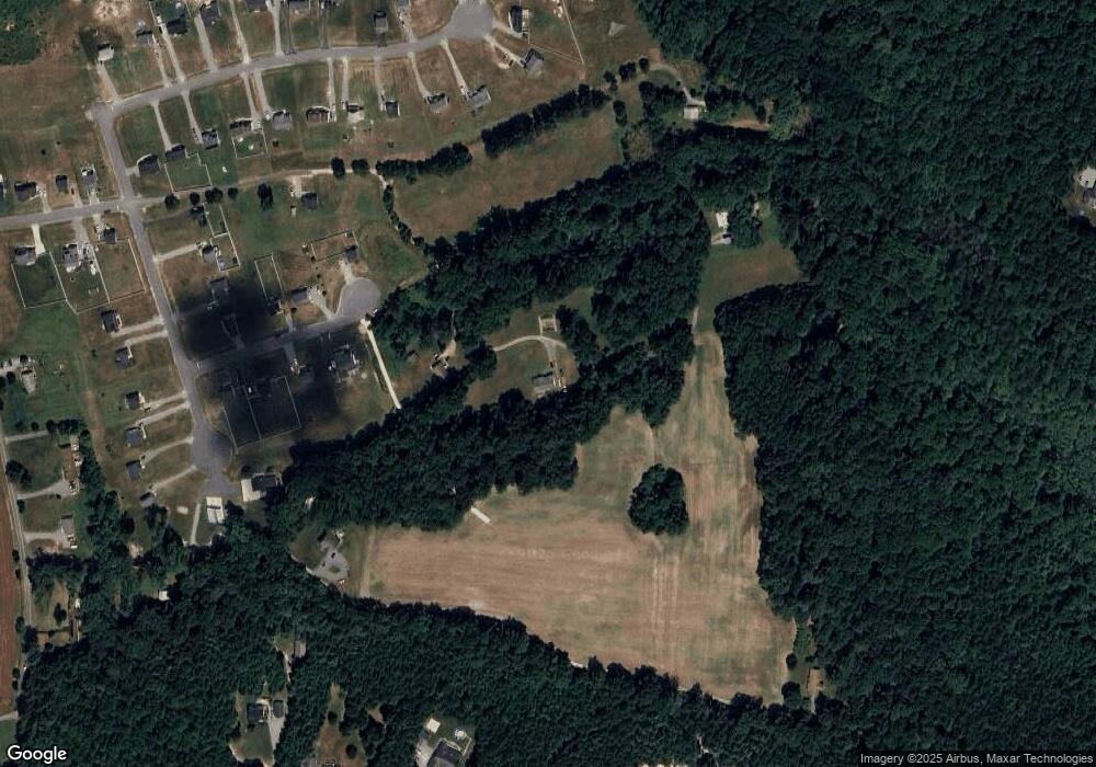
3653 Poverty Hall Rd Quinton, VA 23141
Estimated Value: $347,000 - $493,000
3
Beds
3
Baths
1,722
Sq Ft
$238/Sq Ft
Est. Value
About This Home
This home is located at 3653 Poverty Hall Rd, Quinton, VA 23141 and is currently estimated at $409,570, approximately $237 per square foot. 3653 Poverty Hall Rd is a home located in New Kent County with nearby schools including New Kent High School.
Ownership History
Date
Name
Owned For
Owner Type
Purchase Details
Closed on
Jan 3, 2025
Sold by
Lanham Kenneth James and Lanham Kenneth
Bought by
Lanham Kenneth
Current Estimated Value
Purchase Details
Closed on
Aug 8, 2017
Sold by
Dowdy Henry M and Dowdy Roy E
Bought by
Starr David C
Home Financials for this Owner
Home Financials are based on the most recent Mortgage that was taken out on this home.
Original Mortgage
$109,500
Interest Rate
3.96%
Mortgage Type
New Conventional
Create a Home Valuation Report for This Property
The Home Valuation Report is an in-depth analysis detailing your home's value as well as a comparison with similar homes in the area
Home Values in the Area
Average Home Value in this Area
Purchase History
| Date | Buyer | Sale Price | Title Company |
|---|---|---|---|
| Lanham Kenneth | -- | Stewart Title | |
| Starr David C | $146,000 | Stewart Title Guaranty Co |
Source: Public Records
Mortgage History
| Date | Status | Borrower | Loan Amount |
|---|---|---|---|
| Previous Owner | Starr David C | $109,500 |
Source: Public Records
Tax History Compared to Growth
Tax History
| Year | Tax Paid | Tax Assessment Tax Assessment Total Assessment is a certain percentage of the fair market value that is determined by local assessors to be the total taxable value of land and additions on the property. | Land | Improvement |
|---|---|---|---|---|
| 2025 | $2,157 | $359,500 | $118,700 | $240,800 |
| 2024 | $2,121 | $359,500 | $118,700 | $240,800 |
| 2023 | $2,104 | $314,000 | $89,100 | $224,900 |
| 2022 | $2,508 | $374,300 | $82,100 | $292,200 |
| 2021 | $1,898 | $240,300 | $71,400 | $168,900 |
| 2020 | $1,898 | $240,300 | $71,400 | $168,900 |
| 2019 | $2,262 | $275,800 | $51,600 | $224,200 |
| 2018 | $2,262 | $275,800 | $51,600 | $224,200 |
| 2017 | $2,201 | $265,200 | $51,600 | $213,600 |
| 2016 | $1,891 | $227,800 | $59,700 | $168,100 |
| 2015 | $1,505 | $179,200 | $53,500 | $125,700 |
| 2014 | -- | $179,200 | $53,500 | $125,700 |
Source: Public Records
Map
Nearby Homes
- 7493 Fairway Ridge Dr
- 7965 Neighborly Ln
- 8670 Emily Jane Place
- 7610 Dandridge Dr
- 4927 Gooden Trail
- 8989 Emily Jane Place
- 5451 Dandridge Place
- 7937 Dandridge Dr
- 4900 Donner Ct
- 8940 Emily Jane Place
- 4976 Gooden Trail
- 8459 Warrior Rd
- 7466 Pinehurst Dr
- 3900 New Kent Hwy
- 7399 Club Dr
- 4205 New Kent Hwy
- 2901 Walnut Dr
- 4900 Bailey Branch Ln Unit B
- 7201 N Hairpin Dr
- 4037 Quinton Rd
- 3651 Poverty Hall Rd
- 3775 Robert Field Rd
- 3790 Robert Field Ln
- 3620 Old Woods Rd
- 0 Old Woods Rd Unit 1514077
- 3757 Robert Field Rd
- 3657 Poverty Hall Rd
- 3776 Robert Field Rd
- 0 Poverty Hall Rd Unit 1104946
- 00 Poverty Hall Rd
- 3735 Robert Field Rd
- 3750 Robert Field Ln
- 3750 Robert Field Rd
- 7801 James Field Manor Unit E
- 7801 James Field Manor
- 7801 James Field Manor Unit MR
- 3839 Poverty Hall Rd
- 3895 Elliot Field Trace
- 8423 Black Creek Rd
- 8376 Black Creek Rd
