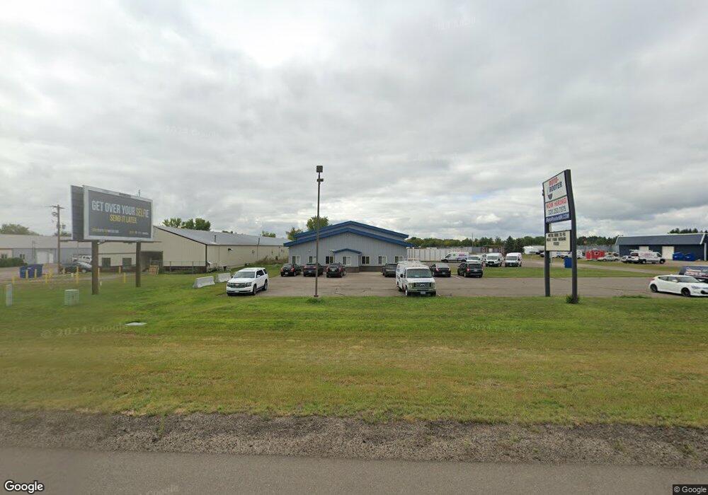
3653 Quail Rd NE Sauk Rapids, MN 56379
Estimated Value: $1,068,838
--
Bed
--
Bath
10,800
Sq Ft
$99/Sq Ft
Est. Value
About This Home
This home is located at 3653 Quail Rd NE, Sauk Rapids, MN 56379 and is currently estimated at $1,068,838, approximately $98 per square foot. 3653 Quail Rd NE is a home located in Benton County with nearby schools including Mississippi Heights Elementary School, Sauk Rapids-Rice Middle School, and Sauk Rapids-Rice Senior High School.
Ownership History
Date
Name
Owned For
Owner Type
Purchase Details
Closed on
Aug 17, 2018
Sold by
Four H Properties Llc
Bought by
Wait For It Properties Llc
Current Estimated Value
Home Financials for this Owner
Home Financials are based on the most recent Mortgage that was taken out on this home.
Original Mortgage
$592,000
Outstanding Balance
$514,128
Interest Rate
4.5%
Mortgage Type
Commercial
Estimated Equity
$554,710
Create a Home Valuation Report for This Property
The Home Valuation Report is an in-depth analysis detailing your home's value as well as a comparison with similar homes in the area
Home Values in the Area
Average Home Value in this Area
Purchase History
| Date | Buyer | Sale Price | Title Company |
|---|---|---|---|
| Wait For It Properties Llc | $740,000 | First American Title Insuran |
Source: Public Records
Mortgage History
| Date | Status | Borrower | Loan Amount |
|---|---|---|---|
| Open | Wait For It Properties Llc | $592,000 |
Source: Public Records
Tax History Compared to Growth
Tax History
| Year | Tax Paid | Tax Assessment Tax Assessment Total Assessment is a certain percentage of the fair market value that is determined by local assessors to be the total taxable value of land and additions on the property. | Land | Improvement |
|---|---|---|---|---|
| 2025 | $21,684 | $1,012,600 | $238,600 | $774,000 |
| 2024 | $20,274 | $979,700 | $227,400 | $752,300 |
| 2023 | $19,010 | $940,000 | $227,400 | $712,600 |
| 2022 | $16,584 | $792,500 | $185,800 | $606,700 |
| 2021 | $16,000 | $633,300 | $176,500 | $456,800 |
| 2018 | $17,698 | $552,200 | $156,200 | $396,000 |
| 2017 | $17,698 | $561,800 | $156,200 | $405,600 |
| 2016 | $18,154 | $562,200 | $156,200 | $406,000 |
| 2015 | $19,236 | $568,800 | $156,200 | $412,600 |
| 2014 | -- | $570,000 | $156,200 | $413,800 |
| 2013 | -- | $560,900 | $156,200 | $404,700 |
Source: Public Records
Map
Nearby Homes
- 0 Quail Rd NE
- 971 45th Ave NE
- 4631 9th St NE
- 4629 8th St NE
- 4634 9th St NE
- 1102 45th Ave NE
- 1104 45th Ave NE
- 1106 45th Ave NE
- 1108 45th Ave NE
- 4653 8th St NE
- 4658 9th St NE
- 1226 45th Ave NE
- 610 47th Ave NE
- 614 47th Ave NE
- 618 47th Ave NE
- 622 47th Ave NE
- 4745 8th Street Loop NE
- The Ashton Plan at Waters Edge
- The Mulberry Plan at Waters Edge - Liberty
- The Newport Plan at Waters Edge
- 3775 Quail Rd NE
- 3675 Shadowwood Dr NE
- 3695 Shadowwood Dr NE
- 3625 Shadowwood Dr NE
- 5030 Quail Rd NE
- XXX Quail Rd NE
- 3615 Shadowwood Dr NE
- 3745 Shadowwood Dr NE
- 3737 Shadowwood Dr NE
- Lot 1 Blk 1 Quail Rd NE
- 0 Unassigned Address Unit 3839819
- 0 Unassigned Address Unit 3839819
- Lot 1 Blk 1 35th Ave
- 1060 35th Ave NE
- Lot 2 , Bl 35th Ave NE
- 905 35th Ave NE
- 1086 35th Ave NE
- 0000000 35th Ave NW
- 1110 35th Ave NE
- 3825 Shadowwood Dr NE