Estimated Value: $1,062,000 - $1,384,000
4
Beds
1
Bath
1,344
Sq Ft
$866/Sq Ft
Est. Value
About This Home
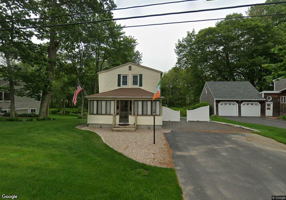
This home is located at 366 Drakes Island Rd, Wells, ME 04090 and is currently estimated at $1,163,931, approximately $866 per square foot. 366 Drakes Island Rd is a home located in York County with nearby schools including Wells Junior High School, Wells Elementary School, and Wells High School.
Ownership History
Date
Name
Owned For
Owner Type
Purchase Details
Closed on
Nov 16, 2009
Sold by
Macgillivray Stephen P and Macgillivray Joanne M
Bought by
Devlin James T
Current Estimated Value
Home Financials for this Owner
Home Financials are based on the most recent Mortgage that was taken out on this home.
Original Mortgage
$289,600
Outstanding Balance
$188,904
Interest Rate
4.98%
Mortgage Type
Purchase Money Mortgage
Estimated Equity
$975,027
Create a Home Valuation Report for This Property
The Home Valuation Report is an in-depth analysis detailing your home's value as well as a comparison with similar homes in the area
Home Values in the Area
Average Home Value in this Area
Purchase History
| Date | Buyer | Sale Price | Title Company |
|---|---|---|---|
| Devlin James T | -- | -- | |
| Devlin James T | -- | -- |
Source: Public Records
Mortgage History
| Date | Status | Borrower | Loan Amount |
|---|---|---|---|
| Open | Devlin James T | $289,600 | |
| Closed | Devlin James T | $289,600 |
Source: Public Records
Tax History Compared to Growth
Tax History
| Year | Tax Paid | Tax Assessment Tax Assessment Total Assessment is a certain percentage of the fair market value that is determined by local assessors to be the total taxable value of land and additions on the property. | Land | Improvement |
|---|---|---|---|---|
| 2024 | $6,335 | $1,041,990 | $766,290 | $275,700 |
| 2023 | $6,210 | $1,041,990 | $766,290 | $275,700 |
| 2022 | $5,013 | $479,290 | $350,790 | $128,500 |
| 2021 | $4,924 | $468,050 | $350,790 | $117,260 |
| 2020 | $4,869 | $464,640 | $350,790 | $113,850 |
| 2019 | $4,842 | $464,640 | $350,790 | $113,850 |
| 2018 | $4,717 | $457,110 | $350,790 | $106,320 |
| 2017 | $4,644 | $457,110 | $350,790 | $106,320 |
| 2016 | $4,599 | $457,110 | $350,790 | $106,320 |
| 2015 | $4,548 | $457,110 | $350,790 | $106,320 |
| 2013 | $3,394 | $372,120 | $265,800 | $106,320 |
Source: Public Records
Map
Nearby Homes
- 475 Drakes Island Rd
- 163 Island Beach Rd
- 22 Saints Place
- 500 Atlantic Ave Unit 2
- 446 Atlantic Ave
- 238 Laudholm Farm Rd
- 2073 Post Rd Unit 34T
- 2073 Post Rd Unit 5
- 1801 Post Rd Unit 143
- 1801 Post Rd Unit 110
- 1830 Post Rd
- 2090 Post Rd Unit 4B
- 54 Blacksmith Rd Unit 11D
- 43 Sylvan Way Unit 10
- 9 Robert Ln
- 1733 Post Rd
- 1762 Post Rd Unit 209
- 35 Burnt Mill Rd Unit B
- 23 Chestnut Ln Unit 30
- 229 Atlantic Ave
- 372 Drakes Island Rd
- 358 Drakes Island Rd
- 365 Drakes Island Rd
- 361 Drakes Island Rd
- 378 Drakes Island Rd
- 377 Drakes Island Rd
- 355 Drakes Island Rd
- 369 Drakes Island Rd
- 350 Drakes Island Rd
- 347 Drakes Island Rd
- 382 Drakes Island Rd
- 384 Drakes Island Rd
- 342 Drakes Island Rd
- 388 Drakes Island Rd
- 5 Shady Ln
- 339 Drakes Island Rd
- 336 Drakes Island Rd
- 6 Shady Ln
- 392 Drakes Island Rd
- 396 Drakes Island Rd