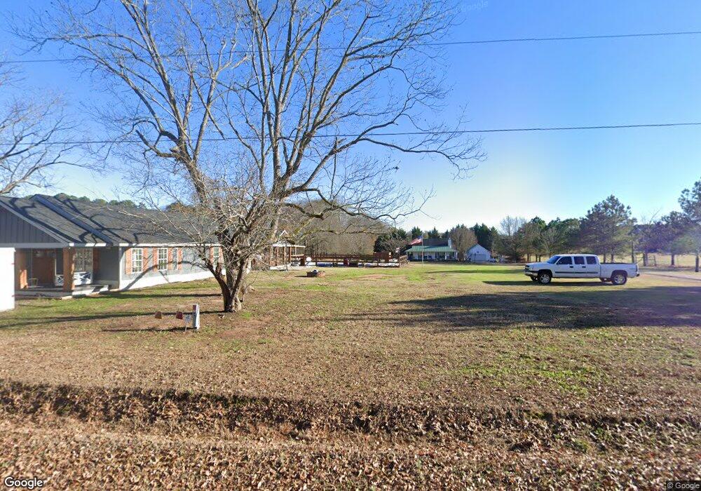
3661 Moina Michael Rd Good Hope, GA 30641
Estimated Value: $362,307 - $437,000
3
Beds
3
Baths
1,668
Sq Ft
$242/Sq Ft
Est. Value
About This Home
This home is located at 3661 Moina Michael Rd, Good Hope, GA 30641 and is currently estimated at $403,327, approximately $241 per square foot. 3661 Moina Michael Rd is a home located in Walton County with nearby schools including Harmony Elementary School, Carver Middle School, and Monroe Area High School.
Ownership History
Date
Name
Owned For
Owner Type
Purchase Details
Closed on
Oct 23, 2020
Sold by
Howard Gail
Bought by
Smith Kami and Smith Roy
Current Estimated Value
Home Financials for this Owner
Home Financials are based on the most recent Mortgage that was taken out on this home.
Original Mortgage
$175,000
Outstanding Balance
$154,594
Interest Rate
2.9%
Mortgage Type
New Conventional
Estimated Equity
$248,733
Create a Home Valuation Report for This Property
The Home Valuation Report is an in-depth analysis detailing your home's value as well as a comparison with similar homes in the area
Home Values in the Area
Average Home Value in this Area
Purchase History
| Date | Buyer | Sale Price | Title Company |
|---|---|---|---|
| Smith Kami | $229,000 | -- |
Source: Public Records
Mortgage History
| Date | Status | Borrower | Loan Amount |
|---|---|---|---|
| Open | Smith Kami | $175,000 |
Source: Public Records
Tax History Compared to Growth
Tax History
| Year | Tax Paid | Tax Assessment Tax Assessment Total Assessment is a certain percentage of the fair market value that is determined by local assessors to be the total taxable value of land and additions on the property. | Land | Improvement |
|---|---|---|---|---|
| 2025 | $3,141 | $134,480 | $18,400 | $116,080 |
| 2024 | $3,141 | $129,520 | $18,400 | $111,120 |
| 2023 | $3,039 | $117,120 | $15,200 | $101,920 |
| 2022 | $2,947 | $104,000 | $13,600 | $90,400 |
| 2021 | $2,453 | $77,880 | $10,000 | $67,880 |
| 2020 | $1,733 | $51,880 | $8,000 | $43,880 |
| 2019 | $1,151 | $34,760 | $6,400 | $28,360 |
| 2018 | $1,162 | $34,760 | $6,400 | $28,360 |
| 2017 | $1,109 | $32,200 | $4,600 | $27,600 |
| 2016 | $1,013 | $29,840 | $4,600 | $25,240 |
| 2015 | $988 | $28,640 | $4,600 | $24,040 |
| 2014 | $999 | $28,240 | $4,000 | $24,240 |
Source: Public Records
Map
Nearby Homes
- 201 Poppyfield Farm Dr
- 144 Tomahawk Trail
- 28 Tomahawk Trail
- 3189 Moina Michael Rd
- 3698 Georgia 83
- 4321 Georgia 186
- 27 Tomahawk Trail
- 0 Hwy 186 Unit 1023934
- 0 Hwy 186 Unit 7529366
- 0 Hwy 186 Unit 10464840
- 3741 Highway 83
- The Farmington Plan at Cotton Creek
- The Rosewood II Plan at Cotton Creek
- The Everglade Plan at Cotton Creek
- The Lakehurst Plan at Cotton Creek
- 144 Cherokee Ct
- 115 Cherokee Ct
- 100 Cherokee Ct
- 26 Cherokee Ct
- 241 Cherokee Ct
- 3661 Moina Michael Rd
- 3641 Moina Michael Rd
- 3641 Moina Michael Rd
- 3698 Moina Michael Rd
- 1500 Colonial Dr
- 3738 Moina Michaels Rd
- 201 Poppyfield Farm Dr
- 201 Poppyfield
- 205 Poppyfield Farm Dr
- 205 Poppyfield Farm Dr Unit 2
- 209 Poppyfield Farm Dr
- 209 Poppyfield Farm Dr Unit 3
- 1515 Colonial Dr
- 209 Poppyfield Farm Dr
- 2497 Lamar Poss Rd
- 213 Poppyfield Farm Dr
- 213 Poppyfield Farm Dr Unit 4
- 3758 Moina Michael Rd
- 217 Poppyfield Farm Dr
- 217 Poppyfield Farm Dr Unit 5