3662 Us Highway 93 N Stevensville, MT 59870
Estimated Value: $2,448,122
--
Bed
--
Bath
29,000
Sq Ft
$84/Sq Ft
Est. Value
About This Home
This home is located at 3662 Us Highway 93 N, Stevensville, MT 59870 and is currently estimated at $2,448,122, approximately $84 per square foot. 3662 Us Highway 93 N is a home located in Ravalli County with nearby schools including Stevensville Elementary School, Stevensville Junior High School, and Stevensville High School.
Ownership History
Date
Name
Owned For
Owner Type
Purchase Details
Closed on
Apr 7, 2023
Sold by
Cooper Real Estate Llc
Bought by
Jsd Properties Llc
Current Estimated Value
Home Financials for this Owner
Home Financials are based on the most recent Mortgage that was taken out on this home.
Original Mortgage
$700,000
Interest Rate
6.5%
Mortgage Type
Credit Line Revolving
Purchase Details
Closed on
Nov 1, 2018
Sold by
Western Assets Corp
Bought by
Cooper Real Estate Llc
Create a Home Valuation Report for This Property
The Home Valuation Report is an in-depth analysis detailing your home's value as well as a comparison with similar homes in the area
Home Values in the Area
Average Home Value in this Area
Purchase History
| Date | Buyer | Sale Price | Title Company |
|---|---|---|---|
| Jsd Properties Llc | -- | Fidelity National Title | |
| Cooper Real Estate Llc | -- | -- |
Source: Public Records
Mortgage History
| Date | Status | Borrower | Loan Amount |
|---|---|---|---|
| Closed | Jsd Properties Llc | $700,000 |
Source: Public Records
Tax History Compared to Growth
Tax History
| Year | Tax Paid | Tax Assessment Tax Assessment Total Assessment is a certain percentage of the fair market value that is determined by local assessors to be the total taxable value of land and additions on the property. | Land | Improvement |
|---|---|---|---|---|
| 2025 | $14,304 | $1,922,896 | $0 | $0 |
| 2024 | $16,214 | $2,069,760 | $0 | $0 |
| 2023 | $15,376 | $1,955,650 | $0 | $0 |
| 2022 | $15,351 | $1,576,012 | $0 | $0 |
| 2021 | $16,652 | $1,576,012 | $0 | $0 |
| 2020 | $13,451 | $1,219,630 | $0 | $0 |
| 2019 | $13,329 | $1,219,630 | $0 | $0 |
| 2018 | $13,822 | $1,320,002 | $0 | $0 |
| 2017 | $13,647 | $1,320,002 | $0 | $0 |
| 2016 | $11,141 | $1,081,840 | $0 | $0 |
| 2015 | $11,180 | $1,081,840 | $0 | $0 |
| 2014 | $11,088 | $896,863 | $0 | $0 |
Source: Public Records
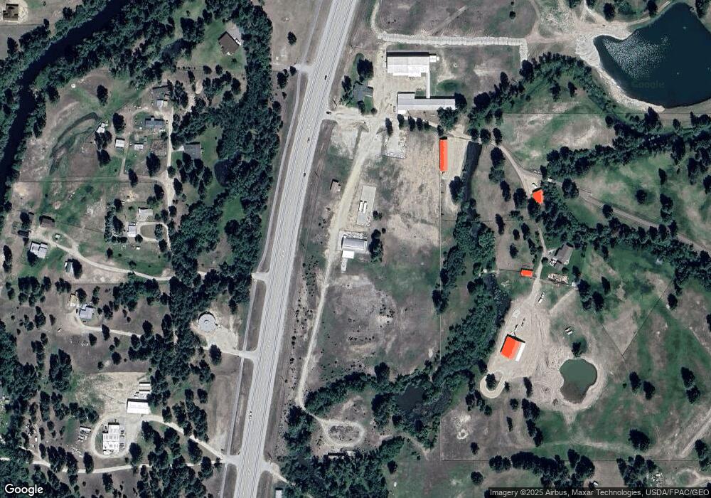
Map
Nearby Homes
- 26 Success Ct
- 1109 Heritage Dr
- 42 Clubhouse Way
- 328 S Kootenai Creek Rd
- 325 Valley View St
- 262 Barbara St
- 252 Barbara St
- 440 Sharrott Hill Loop Unit lot 5
- 408 Buck St
- 3938 Us Highway 93 N
- 306 Valley View St
- 212 Saint Marys Rd
- NHN Mystic River Rd
- 3707 Eastside Hwy
- 3806 Eastside Hwy
- 3808 Eastside Hwy
- Lot 5 Bessie Ln
- 404 Pine St
- 304 10th St
- 308 8th St
- 3662 Us Highway 93 N Unit Us-93
- 3662 Us Highway 93 N
- 3697 Us Highway 93 N
- 3707 Us Highway 93 N
- 3707 U S 93
- 222 Genesee Dr
- Oe Oe
- 3712 Us Highway 93 N
- 3723 U S 93
- 225 Genesee Dr
- 3723 Us Highway 93 N
- 3723 Us Highway 93 N
- 54 Deer Run Trail
- XXX Deer Run Trail
- 0 Deer Run Trail
- 215 Genesee Dr
- 215 Genesee Dr
- 3653 Us Highway 93 N
- 3720 Foxglove Rd
- x Deer Run Trail