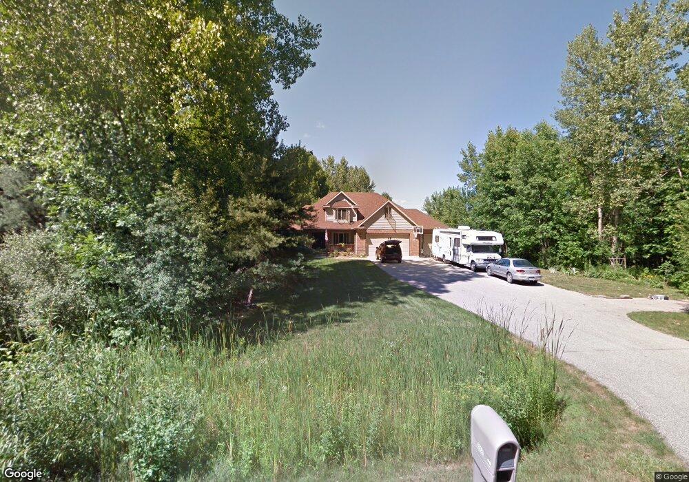
3667 E Oakbrook Ct Midland, MI 48642
Estimated Value: $398,000 - $545,656
Studio
1
Bath
2,402
Sq Ft
$206/Sq Ft
Est. Value
About This Home
This home is located at 3667 E Oakbrook Ct, Midland, MI 48642 and is currently estimated at $493,914, approximately $205 per square foot. 3667 E Oakbrook Ct is a home located in Midland County with nearby schools including Siebert School, Jefferson Middle School, and H.H. Dow High School.
Ownership History
Date
Name
Owned For
Owner Type
Purchase Details
Closed on
Apr 16, 2025
Sold by
Evans Michael P and Evans Kathie A
Bought by
Michael P Evans And Kathie Ann Evans Trust and Evans
Current Estimated Value
Purchase Details
Closed on
Jan 25, 2013
Sold by
Evans Michael P and Evans Kathie A
Bought by
Evans Michael P and Evans Kathie Ann
Purchase Details
Closed on
Jun 24, 1999
Sold by
Rapanos Mark E
Bought by
Evans Michael P and Evans Kathie A
Create a Home Valuation Report for This Property
The Home Valuation Report is an in-depth analysis detailing your home's value as well as a comparison with similar homes in the area
Home Values in the Area
Average Home Value in this Area
Purchase History
| Date | Buyer | Sale Price | Title Company |
|---|---|---|---|
| Michael P Evans And Kathie Ann Evans Trust | -- | None Listed On Document | |
| Michael P Evans And Kathie Ann Evans Trust | -- | None Listed On Document | |
| Evans Michael P | -- | None Listed On Document | |
| Evans Michael P | -- | None Listed On Document | |
| Evans Michael P | -- | -- | |
| Evans Michael P | $40,000 | -- |
Source: Public Records
Tax History
| Year | Tax Paid | Tax Assessment Tax Assessment Total Assessment is a certain percentage of the fair market value that is determined by local assessors to be the total taxable value of land and additions on the property. | Land | Improvement |
|---|---|---|---|---|
| 2025 | $5,247 | $241,700 | $0 | $0 |
| 2024 | $2,005 | $235,200 | $0 | $0 |
| 2023 | $1,910 | $206,200 | $0 | $0 |
| 2022 | $4,791 | $174,500 | $0 | $0 |
| 2021 | $4,554 | $165,300 | $0 | $0 |
| 2020 | $4,250 | $149,600 | $0 | $0 |
| 2019 | $4,133 | $141,600 | $0 | $0 |
| 2018 | $4,097 | $141,600 | $141,600 | $0 |
| 2017 | $0 | $140,400 | $140,400 | $0 |
| 2016 | $3,957 | $138,700 | $138,700 | $0 |
| 2014 | -- | $146,600 | $146,600 | $0 |
Source: Public Records
Map
Nearby Homes
- 701 Broadhead Dr
- 7109 Silent Wood Cir
- 7200 Windstream Cir
- 407 Broadhead Dr
- 621 E Wackerly St
- 001 E Monroe Rd
- 106 Brass Leaf Ct
- 2141 N Yasimin Dr
- 6210 Evergreen Ct
- 5714 Stillwater Ln
- 800 Commerce Dr
- 221 Burning Bush Ln
- 5901 Swede Ave
- 5705 Lantern Ln
- 1519 Winchester Dr
- 1015 Whispering Oak Dr
- 5631 Bloomfield Ct
- 5407 Wanetah Dr
- 5214 Plainfield St
- 1308 Brentwood Dr
- 707 Oakbrook Ct
- 602 Broadhead Dr
- 3653 E Oakbrook Ct
- 536 Broadhead Dr
- 711 Oakbrook Ct
- 606 Broadhead Dr
- 534 Broadhead Dr
- 726 Oakbrook Ct
- 608 Broadhead Dr
- 532 Broadhead Dr
- 3670 E Oakbrook Ct
- 3664 E Oakbrook Ct
- 700 Broadhead Dr
- 715 Oakbrook Ct
- 730 Oakbrook Ct
- 7103 Arrowhead Cir
- 530 Broadhead Dr
- 7108 Tomahawk
- 3656 E Oakbrook Ct
- 3637 E Oakbrook Ct
Your Personal Tour Guide
Ask me questions while you tour the home.