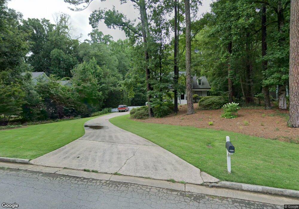
3669 Liberty Ln Unit 2 Marietta, GA 30062
East Cobb NeighborhoodEstimated Value: $623,000 - $685,000
4
Beds
3
Baths
2,100
Sq Ft
$317/Sq Ft
Est. Value
About This Home
This home is located at 3669 Liberty Ln Unit 2, Marietta, GA 30062 and is currently estimated at $666,226, approximately $317 per square foot. 3669 Liberty Ln Unit 2 is a home located in Cobb County with nearby schools including East Side Elementary School, Dodgen Middle School, and Walton High School.
Ownership History
Date
Name
Owned For
Owner Type
Purchase Details
Closed on
Jul 31, 1997
Sold by
Lowd Michael P and Lowd Virginia R
Bought by
Rittenburg John G and Rittenburg Jennifer L
Current Estimated Value
Home Financials for this Owner
Home Financials are based on the most recent Mortgage that was taken out on this home.
Original Mortgage
$154,800
Outstanding Balance
$22,400
Interest Rate
7.61%
Mortgage Type
New Conventional
Estimated Equity
$643,826
Purchase Details
Closed on
May 30, 1995
Sold by
Auerbach Jacqueline T Phili
Bought by
Lowd Michael P Virginia
Create a Home Valuation Report for This Property
The Home Valuation Report is an in-depth analysis detailing your home's value as well as a comparison with similar homes in the area
Home Values in the Area
Average Home Value in this Area
Purchase History
| Date | Buyer | Sale Price | Title Company |
|---|---|---|---|
| Rittenburg John G | $172,000 | -- | |
| Lowd Michael P Virginia | $169,500 | -- |
Source: Public Records
Mortgage History
| Date | Status | Borrower | Loan Amount |
|---|---|---|---|
| Open | Rittenburg John G | $154,800 | |
| Closed | Lowd Michael P Virginia | $0 |
Source: Public Records
Tax History Compared to Growth
Tax History
| Year | Tax Paid | Tax Assessment Tax Assessment Total Assessment is a certain percentage of the fair market value that is determined by local assessors to be the total taxable value of land and additions on the property. | Land | Improvement |
|---|---|---|---|---|
| 2025 | $1,197 | $230,644 | $54,000 | $176,644 |
| 2024 | $1,202 | $230,644 | $54,000 | $176,644 |
| 2023 | $949 | $214,948 | $42,000 | $172,948 |
| 2022 | $1,048 | $179,284 | $36,000 | $143,284 |
| 2021 | $1,048 | $179,284 | $36,000 | $143,284 |
| 2020 | $1,011 | $166,648 | $36,000 | $130,648 |
| 2019 | $3,971 | $166,648 | $36,000 | $130,648 |
| 2018 | $3,971 | $166,648 | $36,000 | $130,648 |
| 2017 | $3,566 | $152,132 | $36,000 | $116,132 |
| 2016 | $3,575 | $152,132 | $36,000 | $116,132 |
| 2015 | $2,976 | $122,388 | $36,000 | $86,388 |
| 2014 | $2,994 | $122,388 | $0 | $0 |
Source: Public Records
Map
Nearby Homes
- 718 Trevett Way
- 1257 Independence Way
- 1680 Bill Murdock Rd
- 3570 Brighton Place
- 3495 Mill Bridge Dr Unit 2
- 3792 Raccoon Run
- 3825 Emerson St
- 3700 Robinson Rd NE
- 3999 Tall Pine Dr
- 1942 Hunters Bend Ct
- 1195 Fielding Way
- 4039 Tall Pine Dr
- 1038 Seven Springs Cir
- 3402 Devoe Ct
- 3506 Clubland Dr Unit 6
- 3218 Holly Mill Run
- 1164 Fairfield Dr
- 3655 Liberty Ln
- 3655 Liberty Ln Unit 2
- 3679 Liberty Ln
- 3696 Oxford Trace
- 3641 Liberty Ln Unit 2
- 3689 Liberty Ln
- 3676 Liberty Ln Unit 2
- 3686 Oxford Trace
- 3690 Liberty Ln
- 3652 Liberty Ln Unit 2
- 3697 Oxford Trace
- 3627 Liberty Ln
- 3699 Liberty Ln Unit 2
- 3676 Oxford Trace
- 3600 Saxon Way
- 3610 Saxon Way
- 3687 Oxford Trace
- 1470 Logan Cir
- 3626 Liberty Ln
- 3613 Liberty Ln