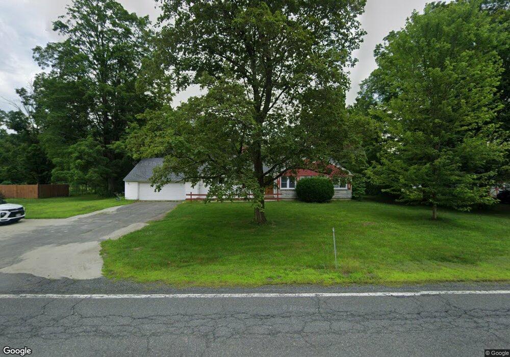
367 Brattleboro Rd Bernardston, MA 01337
Estimated Value: $469,540 - $574,000
3
Beds
2
Baths
1,840
Sq Ft
$284/Sq Ft
Est. Value
About This Home
This home is located at 367 Brattleboro Rd, Bernardston, MA 01337 and is currently estimated at $522,635, approximately $284 per square foot. 367 Brattleboro Rd is a home located in Franklin County with nearby schools including Pioneer Valley Regional and Full Circle School.
Ownership History
Date
Name
Owned For
Owner Type
Purchase Details
Closed on
Jun 28, 2007
Sold by
Young Davette P and Page Duane E
Bought by
Andrews Jane and Andrews Mark B
Current Estimated Value
Home Financials for this Owner
Home Financials are based on the most recent Mortgage that was taken out on this home.
Original Mortgage
$150,000
Outstanding Balance
$91,588
Interest Rate
6.24%
Mortgage Type
Purchase Money Mortgage
Estimated Equity
$431,047
Create a Home Valuation Report for This Property
The Home Valuation Report is an in-depth analysis detailing your home's value as well as a comparison with similar homes in the area
Home Values in the Area
Average Home Value in this Area
Purchase History
| Date | Buyer | Sale Price | Title Company |
|---|---|---|---|
| Andrews Jane | $280,000 | -- | |
| Andrews Jane | $280,000 | -- |
Source: Public Records
Mortgage History
| Date | Status | Borrower | Loan Amount |
|---|---|---|---|
| Open | Andrews Jane | $12,000 | |
| Open | Andrews Jane | $150,000 | |
| Closed | Andrews Jane | $150,000 |
Source: Public Records
Tax History
| Year | Tax Paid | Tax Assessment Tax Assessment Total Assessment is a certain percentage of the fair market value that is determined by local assessors to be the total taxable value of land and additions on the property. | Land | Improvement |
|---|---|---|---|---|
| 2025 | $5,637 | $395,000 | $74,800 | $320,200 |
| 2024 | $5,980 | $366,000 | $74,800 | $291,200 |
| 2023 | $6,260 | $391,500 | $68,300 | $323,200 |
| 2022 | $5,755 | $334,600 | $62,100 | $272,500 |
| 2021 | $5,257 | $283,100 | $52,500 | $230,600 |
| 2020 | $5,376 | $289,200 | $52,200 | $237,000 |
| 2019 | $5,269 | $268,300 | $52,200 | $216,100 |
| 2018 | $5,294 | $258,600 | $52,900 | $205,700 |
| 2017 | $5,115 | $258,600 | $52,900 | $205,700 |
| 2016 | $5,032 | $258,600 | $52,900 | $205,700 |
| 2015 | $4,859 | $261,500 | $62,400 | $199,100 |
Source: Public Records
Map
Nearby Homes
- 56 Brattleboro Rd
- Lot 9 Fox Hill Rd (Off)
- 90 Bald Mountain Rd
- 0 Fox Hill Rd Unit 73477185
- 1 Northfield Rd
- 23 Industrial Dr
- 539 Fox Hill Rd
- 75 South St Unit 3
- 40 Shedd Rd
- 47 Cross St
- 430 Hucklehill Rd
- 396 Mount Hermon Station Rd
- 319 Greenfield Rd
- 34 Brookside Ave
- 119 Newton Hill Rd
- 12A Parker Ave Unit A
- 001 Adams Rd
- 94 Main St
- 719 Mount Hermon Station Rd
- 71 George Lamb Rd
- 361 Brattleboro Rd
- 362 Brattleboro Rd
- 379 Brattleboro Rd
- 376 Brattleboro Rd
- 356 Brattleboro Rd
- 387 Brattleboro Rd
- 396 Brattleboro Rd
- 344 Brattleboro Rd
- 404 Brattleboro Rd
- 329 Brattleboro Rd
- 424 Bald Mountain Rd
- 23 Saw Mill Ln
- 330 Brattleboro Rd
- 330 Brattleboro Rd
- 319 Brattleboro Rd
- 319 Brattleboro Rd
- 350 Brattleboro Rd
- 428 Brattleboro Rd
- 428 Brattleboro Rd
- 400 Bald Mountain Rd
Your Personal Tour Guide
Ask me questions while you tour the home.