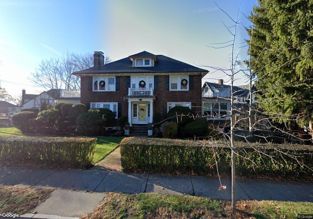
367 Common St Belmont, MA 02478
Cushing Square NeighborhoodEstimated Value: $1,721,000 - $1,920,000
5
Beds
5
Baths
2,764
Sq Ft
$662/Sq Ft
Est. Value
About This Home
This home is located at 367 Common St, Belmont, MA 02478 and is currently estimated at $1,829,036, approximately $661 per square foot. 367 Common St is a home located in Middlesex County with nearby schools including Roger Wellington Elementary School, Winthrop L Chenery Middle School, and Belmont High School.
Ownership History
Date
Name
Owned For
Owner Type
Purchase Details
Closed on
Jun 28, 2023
Sold by
Rufo Paolo and Rufo Cynthia M
Bought by
Rufo Ft and Rufo
Current Estimated Value
Purchase Details
Closed on
Sep 22, 2003
Sold by
367 Common Street Rt and Inglese
Bought by
Rufo Cynthia and Rufo Paolo
Home Financials for this Owner
Home Financials are based on the most recent Mortgage that was taken out on this home.
Original Mortgage
$290,000
Interest Rate
6.31%
Mortgage Type
Purchase Money Mortgage
Create a Home Valuation Report for This Property
The Home Valuation Report is an in-depth analysis detailing your home's value as well as a comparison with similar homes in the area
Home Values in the Area
Average Home Value in this Area
Purchase History
| Date | Buyer | Sale Price | Title Company |
|---|---|---|---|
| Rufo Ft | -- | None Available | |
| Rufo Cynthia | $870,000 | -- |
Source: Public Records
Mortgage History
| Date | Status | Borrower | Loan Amount |
|---|---|---|---|
| Previous Owner | Rufo Cynthia | $290,000 |
Source: Public Records
Tax History
| Year | Tax Paid | Tax Assessment Tax Assessment Total Assessment is a certain percentage of the fair market value that is determined by local assessors to be the total taxable value of land and additions on the property. | Land | Improvement |
|---|---|---|---|---|
| 2025 | $19,568 | $1,718,000 | $843,000 | $875,000 |
| 2024 | $17,857 | $1,691,000 | $1,051,000 | $640,000 |
| 2023 | $16,096 | $1,432,000 | $801,000 | $631,000 |
| 2022 | $14,921 | $1,321,000 | $733,000 | $588,000 |
| 2021 | $6,713 | $1,293,000 | $802,000 | $491,000 |
| 2020 | $16,115 | $1,465,000 | $856,000 | $609,000 |
| 2019 | $11,133 | $1,319,000 | $707,000 | $612,000 |
| 2018 | $5,910 | $1,169,000 | $571,000 | $598,000 |
| 2017 | $14,187 | $1,118,000 | $524,000 | $594,000 |
| 2016 | $13,979 | $1,113,000 | $524,000 | $589,000 |
| 2015 | $13,274 | $1,029,000 | $447,000 | $582,000 |
Source: Public Records
Map
Nearby Homes
- 125 Trapelo Rd Unit 21
- 9 Harriet Ave Unit 1
- 11 Harriet Ave Unit 2
- 589-591 Belmont St
- 15 Wiley Rd Unit 15
- 50 Poplar St
- 60 Washington St
- 519 Belmont St
- 519 Belmont St Unit 2
- 11 Hillcrest Rd
- 207 Slade St
- 9 Henry St Unit 9
- 144-146 White St
- 76 Hovey St Unit 3
- 7 Mason Rd
- 87 Lowell Ave Unit 87
- 85 Lowell Ave
- 6 Hovey St
- 29 Commonwealth Rd Unit 1
- 40 Knowles Rd
Your Personal Tour Guide
Ask me questions while you tour the home.