367 Deer Meadow Trail Lewistown, MT 59457
Estimated Value: $678,000 - $751,496
4
Beds
3
Baths
1,999
Sq Ft
$358/Sq Ft
Est. Value
About This Home
This home is located at 367 Deer Meadow Trail, Lewistown, MT 59457 and is currently estimated at $714,748, approximately $357 per square foot. 367 Deer Meadow Trail is a home located in Fergus County with nearby schools including Fergus High School.
Ownership History
Date
Name
Owned For
Owner Type
Purchase Details
Closed on
Oct 30, 2018
Sold by
Sackman Joseph T and Sackman Monica L
Bought by
Stephens Douglas A and Stephens Jerie D
Current Estimated Value
Home Financials for this Owner
Home Financials are based on the most recent Mortgage that was taken out on this home.
Original Mortgage
$292,000
Outstanding Balance
$255,700
Interest Rate
4.6%
Mortgage Type
New Conventional
Estimated Equity
$459,048
Create a Home Valuation Report for This Property
The Home Valuation Report is an in-depth analysis detailing your home's value as well as a comparison with similar homes in the area
Home Values in the Area
Average Home Value in this Area
Purchase History
| Date | Buyer | Sale Price | Title Company |
|---|---|---|---|
| Stephens Douglas A | $365,000 | Reality Title |
Source: Public Records
Mortgage History
| Date | Status | Borrower | Loan Amount |
|---|---|---|---|
| Open | Stephens Douglas A | $292,000 |
Source: Public Records
Tax History Compared to Growth
Tax History
| Year | Tax Paid | Tax Assessment Tax Assessment Total Assessment is a certain percentage of the fair market value that is determined by local assessors to be the total taxable value of land and additions on the property. | Land | Improvement |
|---|---|---|---|---|
| 2025 | $4,675 | $756,900 | $0 | $0 |
| 2024 | $4,014 | $471,900 | $0 | $0 |
| 2023 | $4,053 | $471,900 | $0 | $0 |
| 2022 | $4,296 | $412,800 | $0 | $0 |
| 2021 | $3,755 | $412,800 | $0 | $0 |
| 2020 | $3,377 | $366,782 | $0 | $0 |
| 2019 | $3,357 | $366,782 | $0 | $0 |
| 2018 | $3,186 | $342,254 | $0 | $0 |
| 2017 | $3,056 | $342,254 | $0 | $0 |
| 2016 | $2,985 | $329,800 | $0 | $0 |
| 2015 | $2,869 | $329,800 | $0 | $0 |
| 2014 | $2,811 | $180,888 | $0 | $0 |
Source: Public Records
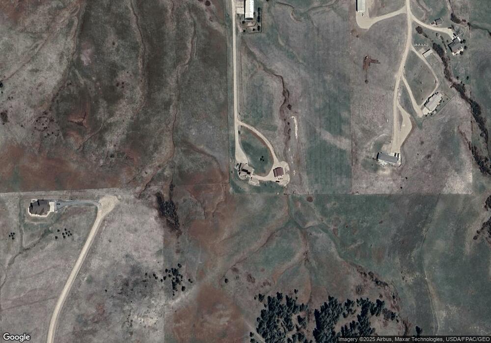
Map
Nearby Homes
- Lot 4 White Tail Dr
- Lot 2 White Tail Dr
- Lot 1 White Tail Dr
- Lot 3 White Tail Dr
- 1203 3rd Ave S
- 1201 3rd Ave S
- LOT 014B Shadows Loop
- LOT 10B Southern Shadows Dr
- LOT 12B Shadows Loop Rd
- LOT 09B Southern Shadows Dr
- LOT 08B Southern Shadows Dr
- LOT 07B Southern Shadows Dr
- 210 S High St
- LOT 05B Southern Shadows Dr
- Lot 1B Southern Shadows Dr
- LOT 04B Mallards Ln
- 307 E Janeaux St
- 506 Brassey St
- LOT 03B Mallards Ln
- LOT 2B Mallards Ln
- 542 Big Sky Ln
- 223 Deer Meadow Trail
- 513 Big Sky Ln
- 457 Big Sky Ln
- Nhn Deer Meadow Trail
- 102 Deer Meadow Trail
- Lot 20 Par 5 Ave
- 201 Big Sky Ln
- 1076 Meadowlark Ln
- Lot 7 Birdie Ln
- 586 Meadowlark Ln
- 1216 Meadowlark Ln
- 558 Black Butte Rd
- 558 Black Butte Rd
- 456 Ponderosa Ln
- 520 Bear Paw Dr
- 360 Glenhaven Ln
- 1352 Meadowlark Ln
- 122 Birdie Ln
- 1449 Meadowlark Ln