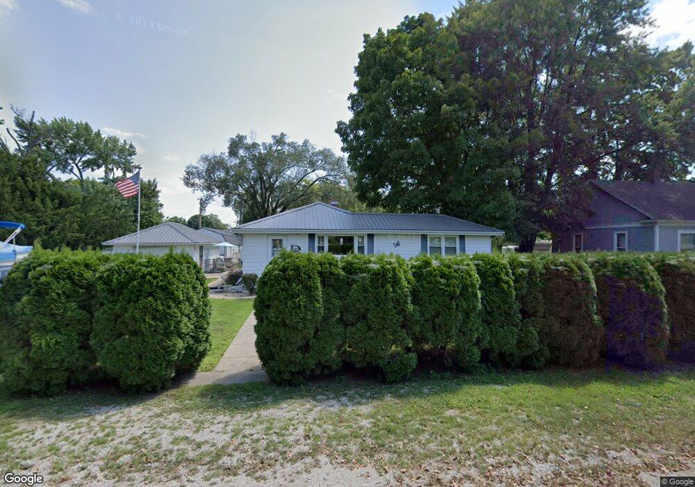
367 E Maple St Lovington, IL 61937
Estimated Value: $112,863 - $127,000
3
Beds
1
Bath
2,374
Sq Ft
$50/Sq Ft
Est. Value
About This Home
This home is located at 367 E Maple St, Lovington, IL 61937 and is currently estimated at $119,716, approximately $50 per square foot. 367 E Maple St is a home located in Moultrie County with nearby schools including Lovington Grade School and Arthur Lovington Atwood Hammond High School.
Ownership History
Date
Name
Owned For
Owner Type
Purchase Details
Closed on
Nov 17, 2007
Sold by
State Bank Of Arthur
Bought by
Davis Steven C and Davis Pamela S
Current Estimated Value
Home Financials for this Owner
Home Financials are based on the most recent Mortgage that was taken out on this home.
Original Mortgage
$63,950
Outstanding Balance
$40,608
Interest Rate
6.45%
Mortgage Type
New Conventional
Estimated Equity
$79,108
Purchase Details
Closed on
Nov 15, 2007
Sold by
Jourdan Bruce and Jourdan Margaret
Bought by
State Bank Of Arthur
Home Financials for this Owner
Home Financials are based on the most recent Mortgage that was taken out on this home.
Original Mortgage
$63,950
Outstanding Balance
$40,608
Interest Rate
6.45%
Mortgage Type
New Conventional
Estimated Equity
$79,108
Purchase Details
Closed on
May 20, 2005
Sold by
Miller Mary Ellen and Jourdan Bruce
Bought by
State Bank Of Arthur
Create a Home Valuation Report for This Property
The Home Valuation Report is an in-depth analysis detailing your home's value as well as a comparison with similar homes in the area
Purchase History
| Date | Buyer | Sale Price | Title Company |
|---|---|---|---|
| Davis Steven C | -- | None Available | |
| State Bank Of Arthur | -- | None Available | |
| State Bank Of Arthur | -- | None Available |
Source: Public Records
Mortgage History
| Date | Status | Borrower | Loan Amount |
|---|---|---|---|
| Open | Davis Steven C | $63,950 |
Source: Public Records
Tax History
| Year | Tax Paid | Tax Assessment Tax Assessment Total Assessment is a certain percentage of the fair market value that is determined by local assessors to be the total taxable value of land and additions on the property. | Land | Improvement |
|---|---|---|---|---|
| 2024 | $7 | $25,941 | $2,317 | $23,624 |
| 2023 | $7 | $24,355 | $2,175 | $22,180 |
| 2022 | $7 | $24,026 | $3,444 | $20,582 |
| 2021 | $7 | $22,842 | $3,274 | $19,568 |
| 2020 | $7 | $21,934 | $3,144 | $18,790 |
| 2019 | $1,289 | $21,549 | $3,089 | $18,460 |
| 2018 | $0 | $21,904 | $2,196 | $19,708 |
| 2017 | $0 | $21,819 | $2,188 | $19,631 |
| 2016 | $900 | $21,867 | $2,193 | $19,674 |
| 2015 | $1,289 | $21,440 | $2,150 | $19,290 |
| 2014 | -- | $21,370 | $2,170 | $19,200 |
| 2013 | -- | $21,370 | $2,170 | $19,200 |
Source: Public Records
Map
Nearby Homes
- 13 W Okaw Estates
- 2174 Cr 575e
- 670A County Road 1875 N
- 670B County Road 1875 N
- 2635 County Road 950 E
- 600 Don Ryan St
- 2484 State Highway 32
- 10 Sunrise Ln N
- 114 E North St
- 235 E 150 Rd N
- 204 N East B St
- 202 E North 2nd St
- 719 N Graham St
- 419 N Market St
- 509 N Seymour St
- 14 Willow St
- 9 Elm Dr
- 114 N Fuller St
- 202 E Monroe St
- 21 Seth Dunscomb Dr
Your Personal Tour Guide
Ask me questions while you tour the home.