367 Mountain King Rd Boulder, CO 80302
Estimated Value: $757,000 - $918,000
3
Beds
1
Bath
1,542
Sq Ft
$553/Sq Ft
Est. Value
About This Home
This home is located at 367 Mountain King Rd, Boulder, CO 80302 and is currently estimated at $852,585, approximately $552 per square foot. 367 Mountain King Rd is a home located in Boulder County with nearby schools including Flatirons Elementary School, Casey Middle School, and Boulder High School.
Ownership History
Date
Name
Owned For
Owner Type
Purchase Details
Closed on
Apr 15, 2014
Sold by
Decker Michael D
Bought by
Kelly Decker Patrick
Current Estimated Value
Purchase Details
Closed on
Mar 20, 1995
Sold by
Kelly Maureen K and Decker Michael D
Bought by
Decker Michael D
Purchase Details
Closed on
Apr 2, 1985
Bought by
Kelly-Decker Patrick
Purchase Details
Closed on
Sep 19, 1980
Bought by
Kelly-Decker Patrick
Create a Home Valuation Report for This Property
The Home Valuation Report is an in-depth analysis detailing your home's value as well as a comparison with similar homes in the area
Purchase History
| Date | Buyer | Sale Price | Title Company |
|---|---|---|---|
| Kelly Decker Patrick | -- | None Available | |
| Decker Michael D | -- | -- | |
| Kelly-Decker Patrick | $5,000 | -- | |
| Kelly-Decker Patrick | -- | -- |
Source: Public Records
Tax History
| Year | Tax Paid | Tax Assessment Tax Assessment Total Assessment is a certain percentage of the fair market value that is determined by local assessors to be the total taxable value of land and additions on the property. | Land | Improvement |
|---|---|---|---|---|
| 2025 | $5,169 | $55,550 | $19,481 | $36,069 |
| 2024 | $5,169 | $55,550 | $19,481 | $36,069 |
| 2023 | $5,076 | $60,588 | $19,102 | $45,171 |
| 2022 | $4,167 | $46,148 | $16,131 | $30,017 |
| 2021 | $3,948 | $47,476 | $16,595 | $30,881 |
| 2020 | $3,408 | $40,505 | $14,014 | $26,491 |
| 2019 | $3,354 | $40,505 | $14,014 | $26,491 |
| 2018 | $2,683 | $32,400 | $8,352 | $24,048 |
| 2017 | $2,604 | $38,750 | $9,234 | $29,516 |
| 2016 | $2,417 | $29,181 | $5,890 | $23,291 |
| 2015 | $2,278 | $23,060 | $7,753 | $15,307 |
| 2014 | $1,009 | $20,292 | $6,824 | $13,468 |
Source: Public Records
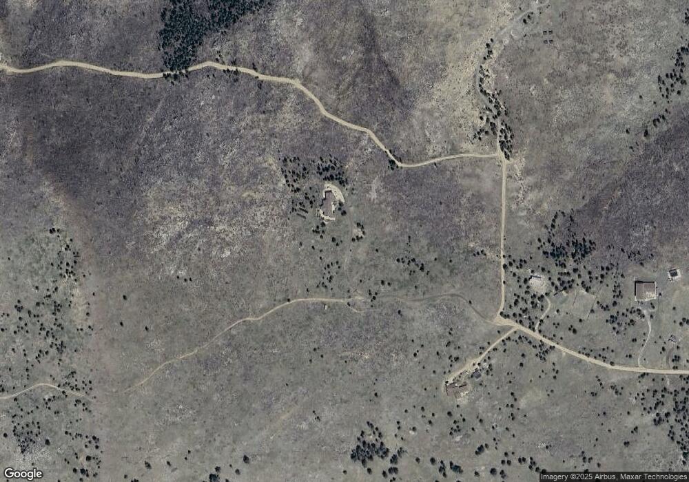
Map
Nearby Homes
- 136 Old Post Office Rd
- 6055 Fourmile Canyon Dr
- 7893 Fourmile Canyon Dr
- 718 Emerson Gulch Rd
- 300 Shining Star Trail
- 300 Shining Star Trail Unit A
- 00 County Rd 89 Unit 237
- 6122 Fourmile Canyon Dr
- 280 Rim Rd
- 6112 Fourmile Canyon Dr
- 61 Rim Rd
- 0 Gold Trail
- 730 Lost Angel Rd
- 208 Wild Tiger Rd
- 0 Good Friday Rd
- 783 Dixon Rd
- 31 Wild Tiger Ln
- 1000 Alaska Rd
- 5566 Sugarloaf Rd
- 560 Wild Turkey Trail Unit 38
- 946 Labelle Rd Unit 948
- 948 Labelle Rd
- 359 Mountain King Rd
- 7210 Fourmile Canyon Dr
- 7210 Four Mile Canyon Dr
- 7315 Fourmile Canyon Dr
- 7142 Fourmile Canyon Dr
- 7336 4 Mile Canyon
- 7311 Fourmile Canyon Dr
- 100 Emerson Gulch Rd
- 0 Mountain King Rd
- 355 Mountain King Rd
- 625 Labelle Rd
- 349 Mountain King Rd
- 560 Emerson Gulch Rd
- 280 Mountain King Rd
- 621 Emerson Gulch Rd
- 555 Labelle Rd
- 134 Old Post Office Rd
- 600 Labelle Rd
Your Personal Tour Guide
Ask me questions while you tour the home.