Estimated Value: $96,000 - $239,000
Studio
2
Baths
1,525
Sq Ft
$103/Sq Ft
Est. Value
About This Home
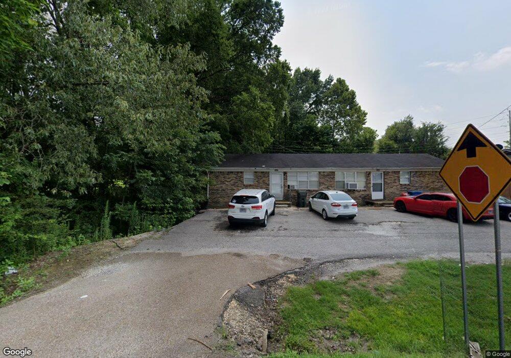
This home is located at 367 W Broad St Unit 369, Dyer, TN 38330 and is currently estimated at $157,674, approximately $103 per square foot. 367 W Broad St Unit 369 is a home located in Gibson County with nearby schools including Dyer Elementary School and Gibson County High School.
Ownership History
Date
Name
Owned For
Owner Type
Purchase Details
Closed on
Oct 25, 2018
Sold by
H & P Properties
Bought by
Halford Matthew Todd
Current Estimated Value
Purchase Details
Closed on
Jul 20, 2006
Sold by
C & H Properties
Bought by
Randall Page J
Purchase Details
Closed on
Jul 26, 2002
Sold by
Paschall Alfred
Bought by
C & H Properties
Home Financials for this Owner
Home Financials are based on the most recent Mortgage that was taken out on this home.
Original Mortgage
$62,943
Interest Rate
6.53%
Purchase Details
Closed on
Jul 25, 1997
Sold by
Maitland Marilyn
Bought by
Paschall Frank
Purchase Details
Closed on
Oct 19, 1992
Bought by
Maitland Jerry and Maitland Marilyn T
Create a Home Valuation Report for This Property
The Home Valuation Report is an in-depth analysis detailing your home's value as well as a comparison with similar homes in the area
Purchase History
| Date | Buyer | Sale Price | Title Company |
|---|---|---|---|
| Halford Matthew Todd | -- | -- | |
| Randall Page J | -- | -- | |
| C & H Properties | $68,500 | -- | |
| Paschall Frank | $114,685 | -- | |
| Maitland Jerry | $65,000 | -- |
Source: Public Records
Mortgage History
| Date | Status | Borrower | Loan Amount |
|---|---|---|---|
| Previous Owner | Maitland Jerry | $62,943 |
Source: Public Records
Tax History
| Year | Tax Paid | Tax Assessment Tax Assessment Total Assessment is a certain percentage of the fair market value that is determined by local assessors to be the total taxable value of land and additions on the property. | Land | Improvement |
|---|---|---|---|---|
| 2025 | $1,984 | $54,880 | $5,160 | $49,720 |
| 2024 | $1,902 | $54,880 | $5,160 | $49,720 |
| 2023 | $1,150 | $36,960 | $4,840 | $32,120 |
| 2022 | $1,125 | $36,960 | $4,840 | $32,120 |
| 2021 | $1,125 | $36,960 | $4,840 | $32,120 |
| 2020 | $1,838 | $36,960 | $4,840 | $32,120 |
| 2019 | $1,837 | $36,960 | $4,840 | $32,120 |
| 2018 | $1,917 | $37,960 | $4,680 | $33,280 |
| 2017 | $1,842 | $37,960 | $4,680 | $33,280 |
| 2016 | $1,842 | $37,960 | $4,680 | $33,280 |
| 2015 | $1,676 | $37,960 | $4,680 | $33,280 |
| 2014 | $1,673 | $37,880 | $4,680 | $33,200 |
Source: Public Records
Map
Nearby Homes
- 208 & 210 Lee St
- 246 Thomas St
- 226 Madison St
- 295 E College St
- 205 Division St
- 299 E Walnut St
- 303 E Walnut St
- 354 E Maple St
- 342 E Walnut St
- 217 Central St
- 139 Peach St
- 403 E College St
- 298 High St
- 115 High St
- 163 Monroe St
- 508 E College St
- 23 Gravettes Crossing Rd W
- 148 Scattered Acres Loop
- 314 New Hope Rd
- 0 Old Dyersburg Rd
- 353 W Broad St
- 342 W Broad St
- 336 W Broad St
- 330 W Broad St
- 327 W Broad St
- 00 Old Dyer-Trenton Rd
- 318 W Broad St
- 315 W Broad St
- 309 W Broad St
- 410 W Broad St
- 306 W Broad St
- 409 W Broad St
- 299 W Broad St
- 298 W Broad St
- 291 W Broad St
- 285 W Broad St
- 641 State Route 5
- 268 W Broad St
- 263 W Broad St
- 106 W Broad St
Your Personal Tour Guide
Ask me questions while you tour the home.