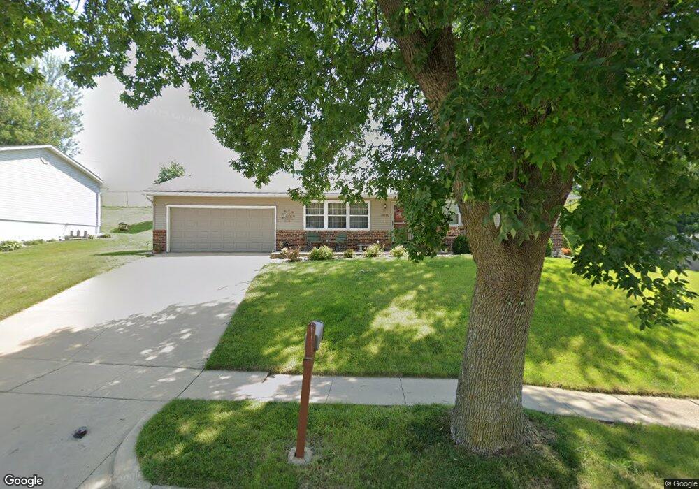
3670 Keystone Dr Dubuque, IA 52002
Estimated Value: $273,000 - $318,000
4
Beds
3
Baths
2,242
Sq Ft
$130/Sq Ft
Est. Value
About This Home
This home is located at 3670 Keystone Dr, Dubuque, IA 52002 and is currently estimated at $292,460, approximately $130 per square foot. 3670 Keystone Dr is a home located in Dubuque County with nearby schools including John Kennedy Elementary School, Eleanor Roosevelt Middle School, and Hempstead High School.
Ownership History
Date
Name
Owned For
Owner Type
Purchase Details
Closed on
Aug 5, 2008
Sold by
Homebuyers Llc
Bought by
Turnis Gerald and Turnis Judy
Current Estimated Value
Home Financials for this Owner
Home Financials are based on the most recent Mortgage that was taken out on this home.
Original Mortgage
$112,000
Outstanding Balance
$73,849
Interest Rate
6.51%
Mortgage Type
Purchase Money Mortgage
Estimated Equity
$218,611
Create a Home Valuation Report for This Property
The Home Valuation Report is an in-depth analysis detailing your home's value as well as a comparison with similar homes in the area
Purchase History
| Date | Buyer | Sale Price | Title Company |
|---|---|---|---|
| Turnis Gerald | $140,000 | None Available |
Source: Public Records
Mortgage History
| Date | Status | Borrower | Loan Amount |
|---|---|---|---|
| Open | Turnis Gerald | $112,000 |
Source: Public Records
Tax History
| Year | Tax Paid | Tax Assessment Tax Assessment Total Assessment is a certain percentage of the fair market value that is determined by local assessors to be the total taxable value of land and additions on the property. | Land | Improvement |
|---|---|---|---|---|
| 2025 | $3,368 | $281,400 | $52,400 | $229,000 |
| 2024 | $3,368 | $258,200 | $45,600 | $212,600 |
| 2023 | $3,360 | $258,200 | $45,600 | $212,600 |
| 2022 | $3,204 | $202,650 | $41,040 | $161,610 |
| 2021 | $3,204 | $202,650 | $41,040 | $161,610 |
| 2020 | $3,144 | $185,550 | $41,040 | $144,510 |
| 2019 | $3,138 | $185,550 | $41,040 | $144,510 |
| 2018 | $3,088 | $177,350 | $41,040 | $136,310 |
| 2017 | $3,080 | $177,350 | $41,040 | $136,310 |
| 2016 | $3,080 | $168,010 | $41,040 | $126,970 |
| 2015 | $3,014 | $168,010 | $41,040 | $126,970 |
| 2014 | $2,842 | $163,120 | $41,040 | $122,080 |
Source: Public Records
Map
Nearby Homes
- 1723 Richie Dr
- 1970 Admiral St
- 1718 Richie Dr
- 3831 Cora Dr
- 2191 Graham Cir
- 2201 Del Monaco Dr
- 0 Associates Dr
- 2281 Pasadena Dr
- 3154 Erie Ct
- 2315 Pasadena Dr
- 3349 Kaufmann Ave
- 4416 Camelot Dr
- 2290 Theda Dr
- 2935 Saint Anne Dr
- 2035 Broadlawn Rd
- 2995 Asbury Rd
- 2185 Broadlawn Rd
- 2935 Van Buren St
- 3085 Lindale St
- 3085 Kaufmann Ave
- 3660 Keystone Dr
- 3690 Keystone Dr
- 3675 Keystone Dr
- 3650 Keystone Dr
- 3665 Keystone Dr
- 3635 Keystone Dr
- 3640 Keystone Dr
- 1910 Ellen St
- 1920 Ellen St
- 1908 Ellen St
- 1906 Ellen St
- 3630 Keystone Dr
- 3625 Keystone Dr
- 1930 Ellen St
- 1915 Grant St
- 1885 Vizaleea Dr
- 1875 Vizaleea Dr
- 1889 Vizaleea Dr
- 1070 Ellen St
- 1935 Winne Ct
Your Personal Tour Guide
Ask me questions while you tour the home.