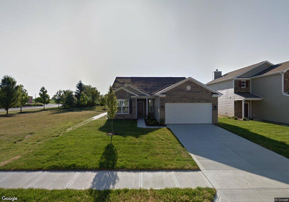
3671 White Cliff Way Whitestown, IN 46075
Estimated Value: $282,000 - $302,000
3
Beds
2
Baths
1,546
Sq Ft
$188/Sq Ft
Est. Value
About This Home
This home is located at 3671 White Cliff Way, Whitestown, IN 46075 and is currently estimated at $291,123, approximately $188 per square foot. 3671 White Cliff Way is a home with nearby schools including Perry Worth Elementary School, Lebanon Middle School, and Lebanon Senior High School.
Ownership History
Date
Name
Owned For
Owner Type
Purchase Details
Closed on
May 18, 2012
Sold by
Davis Edmund D and Davis Lillian L
Bought by
Pluff Pamela M
Current Estimated Value
Home Financials for this Owner
Home Financials are based on the most recent Mortgage that was taken out on this home.
Original Mortgage
$140,480
Interest Rate
5%
Mortgage Type
Purchase Money Mortgage
Create a Home Valuation Report for This Property
The Home Valuation Report is an in-depth analysis detailing your home's value as well as a comparison with similar homes in the area
Home Values in the Area
Average Home Value in this Area
Purchase History
| Date | Buyer | Sale Price | Title Company |
|---|---|---|---|
| Pluff Pamela M | -- | None Available | |
| Pluff Pamela M | -- | None Available |
Source: Public Records
Mortgage History
| Date | Status | Borrower | Loan Amount |
|---|---|---|---|
| Previous Owner | Pluff Pamela M | $140,480 |
Source: Public Records
Tax History Compared to Growth
Tax History
| Year | Tax Paid | Tax Assessment Tax Assessment Total Assessment is a certain percentage of the fair market value that is determined by local assessors to be the total taxable value of land and additions on the property. | Land | Improvement |
|---|---|---|---|---|
| 2025 | $2,940 | $271,400 | $24,600 | $246,800 |
| 2024 | $2,940 | $256,900 | $24,600 | $232,300 |
| 2023 | $3,022 | $259,500 | $24,600 | $234,900 |
| 2022 | $2,843 | $231,100 | $24,600 | $206,500 |
| 2021 | $2,257 | $197,700 | $24,600 | $173,100 |
| 2020 | $2,172 | $188,800 | $24,600 | $164,200 |
| 2019 | $2,043 | $174,600 | $24,600 | $150,000 |
| 2018 | $1,857 | $160,200 | $24,600 | $135,600 |
| 2017 | $1,697 | $153,600 | $24,600 | $129,000 |
| 2016 | $1,773 | $152,500 | $24,600 | $127,900 |
| 2014 | $1,385 | $135,300 | $24,600 | $110,700 |
| 2013 | $1,270 | $129,100 | $24,600 | $104,500 |
Source: Public Records
Map
Nearby Homes
- 3696 White Cliff Way
- 3822 Limelight Ln
- 6328 Dusty Laurel Dr
- Hendricks Plan at Haven at Whitestown
- Waveland Plan at Haven at Whitestown
- Dawson Plan at Haven at Whitestown
- Sutcliffe Plan at Haven at Whitestown
- Hampton Plan at Haven at Whitestown
- Addison Plan at Haven at Whitestown
- Buckner Plan at Haven at Whitestown
- Sheffield Plan at Haven at Whitestown
- Payton Plan at Haven at Whitestown
- 3511 Firethorn Dr
- 3743 Indigo Blue Blvd
- 3391 Roundlake Ln
- 3406 Preakness St
- 6831 Orchard Run Cir
- 3413 Roundlake Ln
- 3347 Churchill Ln
- 6840 Seabiscuit Rd
- 3681 White Cliff Way
- 3691 White Cliff Way
- 3701 White Cliff Way
- 3666 White Cliff Way
- 3676 White Cliff Way
- 3686 White Cliff Way
- 3669 S Cr 650 E
- 3669 S 650 E
- 3625 White Cliff Way
- 3706 White Cliff Way
- 3721 White Cliff Way
- 3630 White Cliff Way
- 3716 White Cliff Way
- 3613 White Cliff Way
- 3731 White Cliff Way
- 3620 White Cliff Way
- 3726 White Cliff Way
- 3741 White Cliff Way
- 3601 White Cliff Way
- 3736 White Cliff Way