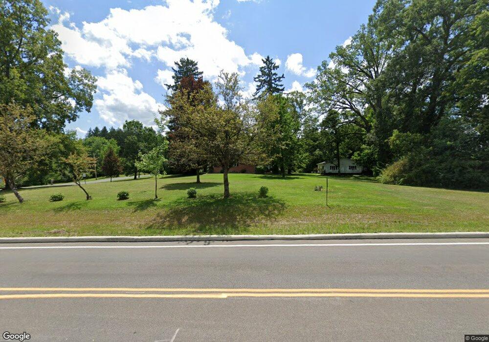
3672 W Streetsboro Rd Richfield, OH 44286
Estimated Value: $426,000 - $530,000
2
Beds
3
Baths
2,320
Sq Ft
$205/Sq Ft
Est. Value
About This Home
This home is located at 3672 W Streetsboro Rd, Richfield, OH 44286 and is currently estimated at $475,355, approximately $204 per square foot. 3672 W Streetsboro Rd is a home located in Summit County with nearby schools including Richfield Elementary School, Bath Elementary School, and Revere Middle School.
Ownership History
Date
Name
Owned For
Owner Type
Purchase Details
Closed on
Dec 29, 2015
Sold by
Freshour Phillip A and Freshour Denise S
Bought by
Denise S Freshour Revocable Trust
Current Estimated Value
Purchase Details
Closed on
Dec 22, 2005
Sold by
Freshour Denise S and Freshour Phillip A
Bought by
Freshour Denise S and Freshour Phillip A
Purchase Details
Closed on
Sep 5, 2002
Sold by
Jett Christopher A and Jett Victoria A
Bought by
Freshour Phillip A and Magnotto Denise S
Home Financials for this Owner
Home Financials are based on the most recent Mortgage that was taken out on this home.
Original Mortgage
$186,000
Interest Rate
6.4%
Create a Home Valuation Report for This Property
The Home Valuation Report is an in-depth analysis detailing your home's value as well as a comparison with similar homes in the area
Home Values in the Area
Average Home Value in this Area
Purchase History
| Date | Buyer | Sale Price | Title Company |
|---|---|---|---|
| Denise S Freshour Revocable Trust | -- | Attorney | |
| Freshour Denise S | -- | -- | |
| Freshour Phillip A | $241,000 | Patriot Land Title Agency |
Source: Public Records
Mortgage History
| Date | Status | Borrower | Loan Amount |
|---|---|---|---|
| Closed | Freshour Phillip A | $186,000 |
Source: Public Records
Tax History Compared to Growth
Tax History
| Year | Tax Paid | Tax Assessment Tax Assessment Total Assessment is a certain percentage of the fair market value that is determined by local assessors to be the total taxable value of land and additions on the property. | Land | Improvement |
|---|---|---|---|---|
| 2025 | $5,836 | $114,640 | $31,595 | $83,045 |
| 2024 | $5,836 | $114,640 | $31,595 | $83,045 |
| 2023 | $5,836 | $114,640 | $31,595 | $83,045 |
| 2022 | $5,459 | $93,104 | $25,480 | $67,624 |
| 2021 | $5,487 | $93,104 | $25,480 | $67,624 |
| 2020 | $5,268 | $93,100 | $25,480 | $67,620 |
| 2019 | $5,545 | $91,670 | $24,210 | $67,460 |
| 2018 | $5,491 | $91,670 | $24,210 | $67,460 |
| 2017 | $5,548 | $91,670 | $24,210 | $67,460 |
| 2016 | $5,768 | $91,670 | $24,210 | $67,460 |
| 2015 | $5,548 | $91,670 | $24,210 | $67,460 |
| 2014 | $5,496 | $91,670 | $24,210 | $67,460 |
| 2013 | $5,171 | $91,820 | $24,210 | $67,610 |
Source: Public Records
Map
Nearby Homes
- 3860 Sawbridge Dr Unit 21
- Woodside Plan at Briarwood Estates - Reserve
- Skyview Plan at Briarwood Estates - Reserve
- 3596 Burrwood Dr
- 3491 Douglas Dr
- 3454 Skye Ridge Dr
- V/L Brecksville Rd
- 3546 Robert Burns Dr
- 3399 Turnbury Dr
- 3123 Aviemore Way
- 3521 Hamilton Dr
- 3371 Brecksville Rd
- 3929 Humphrey Rd
- 3478 Crandall Ave
- 5170 Black Rd
- 2731 Virginia Dr
- 4226 Broadview Rd
- 4840 Berkley Rd
- 3035 Rainbow Ln
- 4711 Deer Creek Cir
- 3927 Briarwood Rd
- 3927 Briarwood Dr
- 3918 Briarwood Dr
- 3916 Sawbridge Dr Unit 10
- 3916 Sawbridge Dr
- 3916 Sawbridge Dr Unit 12
- 3916 Sawbridge Dr Unit 11
- 3916 Burrwood Dr
- 3916 Burrwood Dr
- 3916 Burrwood Dr Unit 10
- 3920 Sawbridge Dr
- 3920 Sawbridge Dr
- 3920 Sawbridge Dr Unit 2
- 3920 Sawbridge Dr
- 3920 Sawbridge Dr
- 3920 Sawbridge Dr Unit 1
- 3920 Sawbridge Dr Unit 3
- 3920 Sawbridge Dr Unit 4
- 3897 Briarwood Dr
- 3918 Sawbridge Dr Unit 7