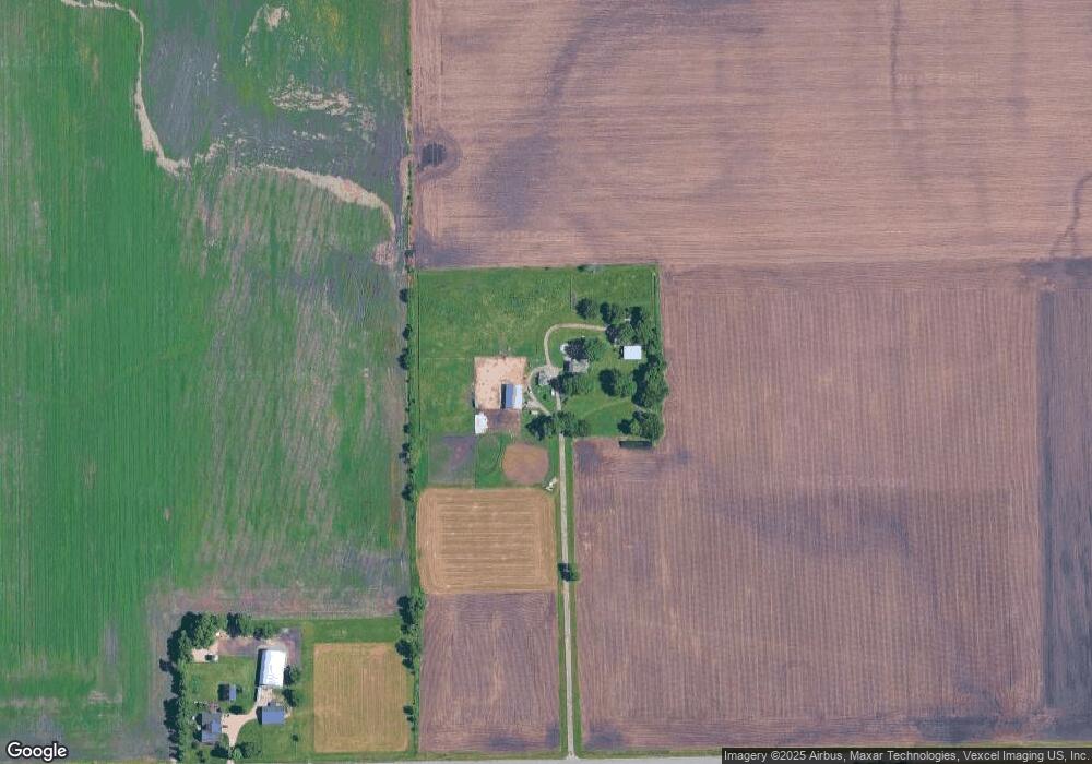
3675 Holt Rd Minooka, IL 60447
North Minooka NeighborhoodEstimated Value: $710,000 - $862,000
4
Beds
2
Baths
3,020
Sq Ft
$260/Sq Ft
Est. Value
About This Home
This home is located at 3675 Holt Rd, Minooka, IL 60447 and is currently estimated at $784,496, approximately $259 per square foot. 3675 Holt Rd is a home located in Kendall County with nearby schools including Jones Elementary School, Minooka Junior High School, and Minooka Intermediate School.
Ownership History
Date
Name
Owned For
Owner Type
Purchase Details
Closed on
May 23, 2024
Sold by
Binns Douglas A and Binns Jennifer A
Bought by
Douglas A Binns And Jennifer A Binns Living T and Binns
Current Estimated Value
Purchase Details
Closed on
Apr 23, 2024
Sold by
Binns Douglas A and Binns Jennifer A
Bought by
Douglas A Binns And Jennifer A Binns Living T and Binns
Purchase Details
Closed on
Jun 14, 2021
Sold by
Ales Henry
Bought by
Binns Douglas A and Binns Jennifer A
Create a Home Valuation Report for This Property
The Home Valuation Report is an in-depth analysis detailing your home's value as well as a comparison with similar homes in the area
Home Values in the Area
Average Home Value in this Area
Purchase History
| Date | Buyer | Sale Price | Title Company |
|---|---|---|---|
| Douglas A Binns And Jennifer A Binns Living T | -- | None Listed On Document | |
| Douglas A Binns And Jennifer A Binns Living T | -- | None Listed On Document | |
| Binns Douglas A | $550,000 | Chicago Title |
Source: Public Records
Tax History
| Year | Tax Paid | Tax Assessment Tax Assessment Total Assessment is a certain percentage of the fair market value that is determined by local assessors to be the total taxable value of land and additions on the property. | Land | Improvement |
|---|---|---|---|---|
| 2024 | $14,298 | $189,305 | $20,891 | $168,414 |
| 2023 | $10,741 | $170,930 | $19,696 | $151,234 |
| 2022 | $10,741 | $140,460 | $16,259 | $124,201 |
| 2021 | $9,157 | $117,767 | $15,939 | $101,828 |
| 2020 | $8,371 | $105,455 | $14,865 | $90,590 |
| 2019 | $8,204 | $100,843 | $14,067 | $86,776 |
| 2018 | $7,758 | $96,292 | $13,817 | $82,475 |
| 2017 | $7,636 | $91,192 | $13,597 | $77,595 |
| 2016 | $7,088 | $84,514 | $13,260 | $71,254 |
| 2015 | $7,121 | $84,334 | $13,080 | $71,254 |
| 2014 | -- | $72,888 | $8,548 | $64,340 |
| 2013 | -- | $72,778 | $8,438 | $64,340 |
Source: Public Records
Map
Nearby Homes
- 2812 Ninovan Ln
- 2813 Ninovan Ln
- 2823 Ninovan Ln
- 2811 Ninovan Ln
- Lot 1 Minooka Ridge & Jones Rd
- 2041 Isabella Ln
- 6010-6060 E Minooka Rd
- 1133 Coneflower Ct
- 23 Birch Ave
- 12 Maple St
- 35 Cedar St
- 2037 Isabella Ln
- 15775 Brisbin Rd
- 1529 Balboa Dr Unit 2A
- 1510 Balboa Dr
- 622 Gallant Dr
- 1308 Kettleson Dr
- LOT 1 Bob Blair Rd
- 706 O Toole Dr
- LOT 28 O Toole Dr
- 3526 Holt Rd
- 16976 Obrien Rd
- 15222 O Brien Rd
- 000 O Brien Rd
- 16924 O Brien Rd
- 17725 Obrien Rd
- 16776 Obrien Rd
- 16880 Hanson Rd
- 3050 Holt Rd
- 16726 Obrien Rd
- 16765 Hanson Rd
- 16725 Obrien Rd
- 4375 White Willow Rd
- 2851 Holt Rd
- 16610 Hanson Rd
- 4595 E Sherrill Rd
- 4875 E Sherrill Rd
- 4905 E Sherrill Rd
- 4935 E Sherrill Rd
Your Personal Tour Guide
Ask me questions while you tour the home.