3675 Powers Ln Manhattan, KS 66502
Estimated Value: $331,000 - $387,488
2
Beds
2
Baths
2,081
Sq Ft
$168/Sq Ft
Est. Value
About This Home
This home is located at 3675 Powers Ln, Manhattan, KS 66502 and is currently estimated at $350,496, approximately $168 per square foot. 3675 Powers Ln is a home located in Pottawatomie County with nearby schools including Bluemont Elementary School, Dwight D. Eisenhower Middle School, and Manhattan High School.
Ownership History
Date
Name
Owned For
Owner Type
Purchase Details
Closed on
May 31, 2012
Sold by
Powers Sharon Elaine and Powers John Douglas
Bought by
Powers John D and Powers Martha
Current Estimated Value
Purchase Details
Closed on
Jul 29, 2011
Sold by
Powers Sharon Baine and Powers John Douglas
Bought by
Powers John D and Powers Martha
Home Financials for this Owner
Home Financials are based on the most recent Mortgage that was taken out on this home.
Original Mortgage
$150,000
Interest Rate
4.53%
Mortgage Type
New Conventional
Create a Home Valuation Report for This Property
The Home Valuation Report is an in-depth analysis detailing your home's value as well as a comparison with similar homes in the area
Purchase History
| Date | Buyer | Sale Price | Title Company |
|---|---|---|---|
| Powers John D | -- | None Available | |
| Powers John D | -- | None Available |
Source: Public Records
Mortgage History
| Date | Status | Borrower | Loan Amount |
|---|---|---|---|
| Previous Owner | Powers John D | $150,000 |
Source: Public Records
Tax History
| Year | Tax Paid | Tax Assessment Tax Assessment Total Assessment is a certain percentage of the fair market value that is determined by local assessors to be the total taxable value of land and additions on the property. | Land | Improvement |
|---|---|---|---|---|
| 2025 | $3,284 | $34,573 | $5,494 | $29,079 |
| 2024 | $33 | $34,249 | $5,443 | $28,806 |
| 2023 | $3,396 | $33,677 | $5,549 | $28,128 |
| 2022 | $2,905 | $30,910 | $5,481 | $25,429 |
| 2021 | $2,905 | $28,695 | $5,103 | $23,592 |
| 2020 | $2,905 | $28,489 | $5,061 | $23,428 |
| 2019 | $2,993 | $29,483 | $5,670 | $23,813 |
| 2018 | $2,619 | $26,097 | $5,349 | $20,748 |
| 2017 | $2,469 | $25,125 | $5,175 | $19,950 |
| 2016 | $2,262 | $23,463 | $4,877 | $18,586 |
| 2015 | -- | $22,903 | $4,638 | $18,265 |
| 2014 | -- | $22,233 | $4,163 | $18,070 |
Source: Public Records
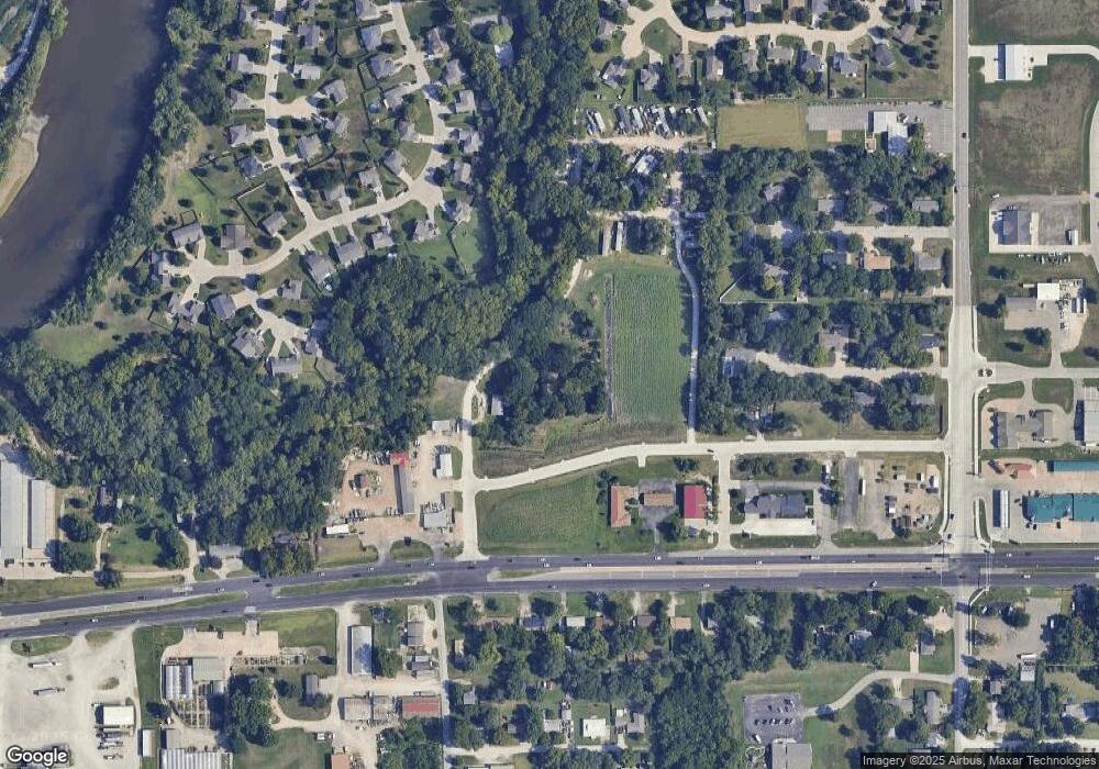
Map
Nearby Homes
- 4020 Bald Eagle Dr
- 6004 Tumbleweed Terrace
- 9109 Emily Cir
- 4014 Coachman Rd
- 8606 William Dr
- 8739 William Dr
- 8722 Kinzie Jo's Way
- 8862 Elderberry Run
- 8550 William Dr
- 8405 Chrissy Landing
- 8376 Derik Ct
- 8380 Derik Ct
- 8386 Derik Ct
- 8395 Derik Ct
- 4660 Raven Creek Dr
- 8754 S Kelliann Way
- 8781 S Kelliann Way
- 4642 Pierce Dr
- 8789 S Kelliann Way
- 4852 Nature Ave
- 8651 E Us Highway 24
- 8651 U S 24
- 3921 Golden Eagle Dr
- 8665 E Us Highway 24
- 8690 Quail Cir
- 3917 Golden Eagle Dr
- 8687 E Us Highway 24
- 3913 Golden Eagle Dr
- 8680 Quail Cir
- 3925 Golden Eagle Dr
- 8700 Quail Cir
- 8516 Golden Eagle Ct
- 3911 Golden Eagle Dr
- 8680 Grouse Cir
- 8690 Grouse Cir
- 8630 E Us Highway 24
- 8620 E Us Highway 24
- 3909 Golden Eagle Dr
- 8512 Golden Eagle Ct
- 8640 E Us Highway 24
Your Personal Tour Guide
Ask me questions while you tour the home.