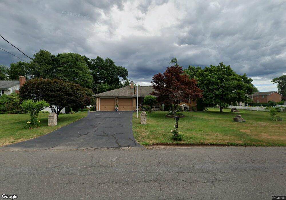
368 Goff Rd Wethersfield, CT 06109
Estimated Value: $495,000 - $1,118,567
3
Beds
3
Baths
1,841
Sq Ft
$377/Sq Ft
Est. Value
About This Home
This home is located at 368 Goff Rd, Wethersfield, CT 06109 and is currently estimated at $693,392, approximately $376 per square foot. 368 Goff Rd is a home located in Hartford County with nearby schools including Samuel B. Webb Elementary School, Silas Deane Middle School, and Wethersfield High School.
Ownership History
Date
Name
Owned For
Owner Type
Purchase Details
Closed on
Mar 10, 2023
Sold by
Amer Intl Relocation Soln
Bought by
Thakar Dinesh and Thakar Aruna D
Current Estimated Value
Home Financials for this Owner
Home Financials are based on the most recent Mortgage that was taken out on this home.
Original Mortgage
$726,200
Outstanding Balance
$699,251
Interest Rate
6.13%
Mortgage Type
Purchase Money Mortgage
Estimated Equity
-$5,859
Purchase Details
Closed on
Feb 13, 1998
Sold by
Orsini Michele and Orsini Josephine
Bought by
Orsini Joseph F and Orsini Michael A
Purchase Details
Closed on
Dec 31, 1997
Sold by
Orsini Michelle and Orsini Josephine
Bought by
Orsini Joseph F and Orsini Michael A
Create a Home Valuation Report for This Property
The Home Valuation Report is an in-depth analysis detailing your home's value as well as a comparison with similar homes in the area
Home Values in the Area
Average Home Value in this Area
Purchase History
| Date | Buyer | Sale Price | Title Company |
|---|---|---|---|
| Thakar Dinesh | $871,000 | None Available | |
| Thakar Dinesh | $871,000 | None Available | |
| Orsini Joseph F | $60,000 | -- | |
| Orsini Joseph F | $60,000 | -- | |
| Orsini Joseph F | $60,000 | -- | |
| Orsini Joseph F | $60,000 | -- |
Source: Public Records
Mortgage History
| Date | Status | Borrower | Loan Amount |
|---|---|---|---|
| Open | Thakar Dinesh | $726,200 | |
| Closed | Thakar Dinesh | $726,200 | |
| Previous Owner | Orsini Joseph F | $20,000 |
Source: Public Records
Tax History
| Year | Tax Paid | Tax Assessment Tax Assessment Total Assessment is a certain percentage of the fair market value that is determined by local assessors to be the total taxable value of land and additions on the property. | Land | Improvement |
|---|---|---|---|---|
| 2025 | $15,283 | $370,760 | $108,780 | $261,980 |
| 2024 | $9,599 | $222,090 | $67,770 | $154,320 |
| 2023 | $9,279 | $222,090 | $67,770 | $154,320 |
| 2022 | $9,123 | $222,090 | $67,770 | $154,320 |
| 2021 | $9,032 | $222,090 | $67,770 | $154,320 |
| 2020 | $9,056 | $222,560 | $67,770 | $154,790 |
| 2019 | $9,067 | $222,560 | $67,770 | $154,790 |
| 2018 | $8,804 | $215,900 | $70,800 | $145,100 |
| 2017 | $8,586 | $215,900 | $70,800 | $145,100 |
| 2016 | $8,321 | $215,900 | $70,800 | $145,100 |
| 2015 | $8,245 | $215,900 | $70,800 | $145,100 |
| 2014 | $7,932 | $215,900 | $70,800 | $145,100 |
Source: Public Records
Map
Nearby Homes
- 7 Barrington Dr Unit C
- 20 Forest Dr
- 129 Goff Rd
- 273 Forest Dr
- 764 Ridge Rd
- 274 Cedarwood Ln
- 15 Potter Crossing
- 25 Tinsmith Crossing
- 173 Timber Trail
- 62 Schoolhouse Crossing
- 0 Collier Rd
- 101 Collier Rd
- 158 Dix Rd
- 137 Dale Rd
- 88 Hawley St
- 38 Northwood Rd
- 76 Luca Lane Homesite 8
- 89 Merriman Rd
- 61 Luca Ln
- 295 Ridge Rd Unit 8
Your Personal Tour Guide
Ask me questions while you tour the home.