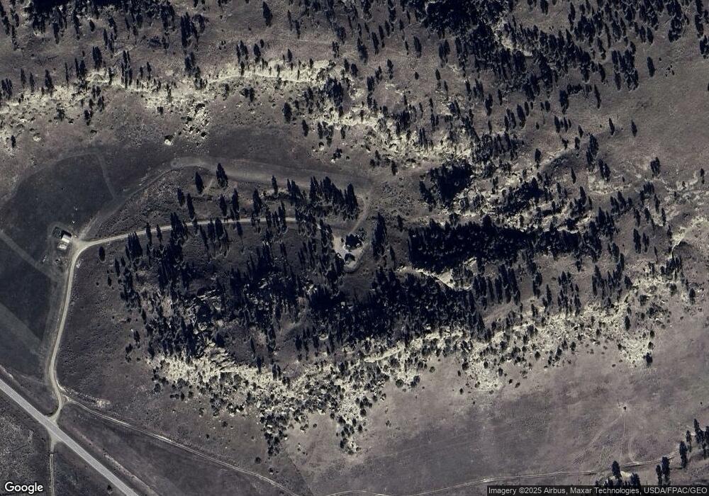
368 S Musselshell Rd Musselshell, MT 59059
Estimated Value: $197,000 - $660,298
2
Beds
3
Baths
2,604
Sq Ft
$180/Sq Ft
Est. Value
About This Home
This home is located at 368 S Musselshell Rd, Musselshell, MT 59059 and is currently estimated at $468,766, approximately $180 per square foot. 368 S Musselshell Rd is a home located in Musselshell County with nearby schools including Melstone Elementary School, Melstone Junior High School, and Roundup High School.
Create a Home Valuation Report for This Property
The Home Valuation Report is an in-depth analysis detailing your home's value as well as a comparison with similar homes in the area
Home Values in the Area
Average Home Value in this Area
Tax History Compared to Growth
Tax History
| Year | Tax Paid | Tax Assessment Tax Assessment Total Assessment is a certain percentage of the fair market value that is determined by local assessors to be the total taxable value of land and additions on the property. | Land | Improvement |
|---|---|---|---|---|
| 2025 | $2,000 | $481,728 | $0 | $0 |
| 2024 | $2,444 | $374,414 | $0 | $0 |
| 2023 | $2,131 | $374,414 | $0 | $0 |
| 2022 | $2,292 | $331,703 | $0 | $0 |
| 2021 | $2,714 | $442,243 | $0 | $0 |
| 2020 | $2,872 | $443,997 | $0 | $0 |
| 2019 | $3,591 | $443,997 | $0 | $0 |
| 2018 | $3,219 | $459,048 | $0 | $0 |
| 2017 | $3,360 | $459,048 | $0 | $0 |
| 2016 | $1,723 | $224,572 | $0 | $0 |
| 2015 | $1,505 | $224,572 | $0 | $0 |
| 2014 | $1,414 | $133,083 | $0 | $0 |
Source: Public Records
Map
Nearby Homes
- 95 Fishel Creek Rd
- 1234 Queen's Point Rd
- 600 N Delphia Rd
- 0 N Delphia Rd Unit 23727754
- 7200 Pineview Rd
- 634 Melstone-Custer Rd
- 401 Cascade St
- 258 Bascom Ln
- 6970 Pineview Rd
- 00 N Gage Rd
- 6 Whiskey River Rd
- TBD W Parrot Creek Road Parcel 20
- 448 W Parrot Creek Rd
- 1601 Huffine Rd
- TBD Smith Ct
- 21 Smith Trail
- 50 Lazy r Way Unit EH-1&13
- 50 Lazy r Way
- Nhn Deer Lane Unit: Eh-13
- Deer Lane Lot: Eh-13
