368 Timmy Cir Morganton, GA 30560
Estimated Value: $646,000 - $1,822,000
Studio
--
Bath
2,388
Sq Ft
$533/Sq Ft
Est. Value
About This Home
This home is located at 368 Timmy Cir, Morganton, GA 30560 and is currently estimated at $1,271,736, approximately $532 per square foot. 368 Timmy Cir is a home with nearby schools including Fannin County High School.
Ownership History
Date
Name
Owned For
Owner Type
Purchase Details
Closed on
Oct 6, 2005
Sold by
Nottingham Kimberly L
Bought by
Nottingham Prescott L
Current Estimated Value
Purchase Details
Closed on
Sep 23, 2004
Sold by
Nottingham Prescott L
Bought by
Nottingham Kimberly L
Purchase Details
Closed on
Jun 17, 2004
Sold by
Nottingham Prescott
Bought by
Nottingham Kimberly
Purchase Details
Closed on
May 28, 2004
Sold by
Holt Tina T
Bought by
Nottingham Prescott and Nottingham Kimberly
Purchase Details
Closed on
May 10, 2002
Sold by
Ashworth Raymond
Bought by
Holt Tina T
Purchase Details
Closed on
Aug 15, 1977
Bought by
Ashworth Raymond
Create a Home Valuation Report for This Property
The Home Valuation Report is an in-depth analysis detailing your home's value as well as a comparison with similar homes in the area
Home Values in the Area
Average Home Value in this Area
Purchase History
| Date | Buyer | Sale Price | Title Company |
|---|---|---|---|
| Nottingham Prescott L | -- | -- | |
| Nottingham Kimberly L | -- | -- | |
| Nottingham Prescott L | -- | -- | |
| Nottingham Kimberly | -- | -- | |
| Nottingham Prescott | $599,900 | -- | |
| Holt Tina T | $374,000 | -- | |
| Ashworth Raymond | $8,500 | -- |
Source: Public Records
Tax History
| Year | Tax Paid | Tax Assessment Tax Assessment Total Assessment is a certain percentage of the fair market value that is determined by local assessors to be the total taxable value of land and additions on the property. | Land | Improvement |
|---|---|---|---|---|
| 2025 | $3,898 | $518,820 | $340,000 | $178,820 |
| 2024 | $39 | $518,820 | $340,000 | $178,820 |
| 2023 | $4,269 | $504,356 | $340,000 | $164,356 |
| 2022 | $4,301 | $506,652 | $340,000 | $166,652 |
| 2021 | $4,763 | $396,800 | $315,000 | $81,800 |
| 2020 | $4,595 | $371,800 | $290,000 | $81,800 |
| 2019 | $4,578 | $361,800 | $280,000 | $81,800 |
| 2018 | $4,315 | $313,800 | $232,000 | $81,800 |
| 2017 | $5,576 | $315,128 | $232,000 | $83,128 |
| 2016 | $4,709 | $310,294 | $232,000 | $78,294 |
| 2015 | $3,494 | $199,876 | $120,000 | $79,876 |
| 2014 | $3,496 | $211,062 | $120,000 | $91,062 |
| 2013 | -- | $197,469 | $120,000 | $77,469 |
Source: Public Records
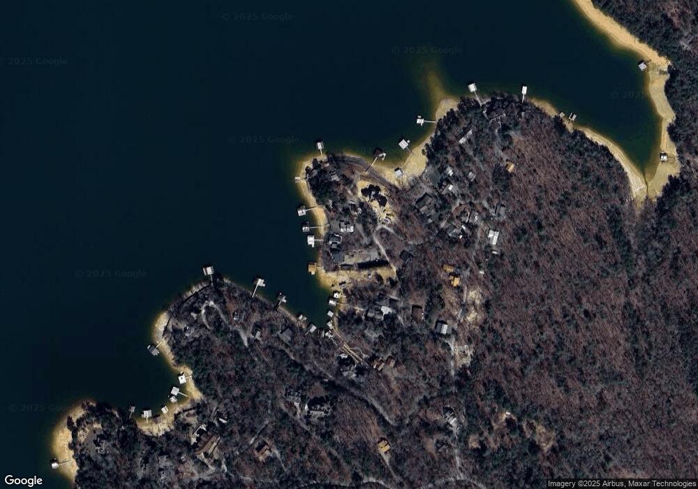
Map
Nearby Homes
- .76 ACRES Charlotte Cir
- .76 acre Charlotte Cir
- 66 Rome Point
- 474 Stewart Camp Point
- 18 Mallard Ln
- 790 Star Creek Dr
- 354 Ridgeview Cir
- 0 Ridge St Unit LOT 27 10593030
- 0 Ridge St Unit 7640123
- 374 Prince Dr
- 0 Ridge Rd
- Lot 4 Wilderness Trail
- 128 Overlake Ct
- 105 Bypass Rd
- 11 Collins Hollow Rd
- 716 Lakeview Cir
- 173 Southern Cross Ct
- 9340 Old Highway 76
- 58 Whitetail Hollow
- 90 Split Creek Rd
Your Personal Tour Guide
Ask me questions while you tour the home.