3683 Felsite Ave Rosamond, CA 93560
Estimated Value: $471,000 - $572,203
3
Beds
3
Baths
1,198
Sq Ft
$421/Sq Ft
Est. Value
About This Home
This home is located at 3683 Felsite Ave, Rosamond, CA 93560 and is currently estimated at $503,801, approximately $420 per square foot. 3683 Felsite Ave is a home located in Kern County.
Ownership History
Date
Name
Owned For
Owner Type
Purchase Details
Closed on
Jul 25, 2022
Sold by
Rustuen Arthur J and Rustuen Cindy J
Bought by
Rustuen Family Trust
Current Estimated Value
Purchase Details
Closed on
May 17, 1999
Sold by
John Rustuen Arthur
Bought by
Rustuen Arthur J and Rustuen Cindy J
Home Financials for this Owner
Home Financials are based on the most recent Mortgage that was taken out on this home.
Original Mortgage
$93,500
Interest Rate
6.86%
Create a Home Valuation Report for This Property
The Home Valuation Report is an in-depth analysis detailing your home's value as well as a comparison with similar homes in the area
Home Values in the Area
Average Home Value in this Area
Purchase History
| Date | Buyer | Sale Price | Title Company |
|---|---|---|---|
| Rustuen Family Trust | -- | None Listed On Document | |
| Rustuen Arthur J | -- | None Listed On Document | |
| Rustuen Arthur J | -- | First American Title Co |
Source: Public Records
Mortgage History
| Date | Status | Borrower | Loan Amount |
|---|---|---|---|
| Previous Owner | Rustuen Arthur J | $93,500 |
Source: Public Records
Tax History Compared to Growth
Tax History
| Year | Tax Paid | Tax Assessment Tax Assessment Total Assessment is a certain percentage of the fair market value that is determined by local assessors to be the total taxable value of land and additions on the property. | Land | Improvement |
|---|---|---|---|---|
| 2025 | $3,222 | $222,881 | $23,506 | $199,375 |
| 2024 | $3,222 | $218,513 | $23,046 | $195,467 |
| 2023 | $3,165 | $214,230 | $22,595 | $191,635 |
| 2022 | $3,076 | $210,030 | $22,152 | $187,878 |
| 2021 | $2,971 | $205,913 | $21,718 | $184,195 |
| 2020 | $2,971 | $203,803 | $21,496 | $182,307 |
| 2019 | $2,525 | $203,803 | $21,496 | $182,307 |
| 2018 | $2,454 | $195,891 | $20,662 | $175,229 |
| 2017 | $2,411 | $192,051 | $20,257 | $171,794 |
| 2016 | $2,301 | $188,286 | $19,860 | $168,426 |
| 2015 | $1,882 | $149,999 | $19,562 | $130,437 |
| 2014 | $1,704 | $147,061 | $19,179 | $127,882 |
Source: Public Records
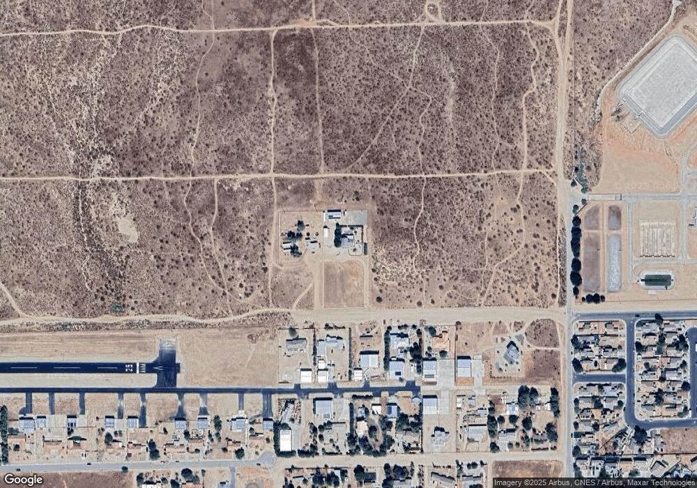
Map
Nearby Homes
- 0 Knox Ave
- 0 35th St W & Truman Rd
- 3440 Citrine Ln
- 0 Felsite Unit 24005805
- 0 Felsite Unit CV25047192
- 0 Felsite Unit 24005806
- 0 Felsite Unit 530057
- 0 Felsite Unit 24005808
- 0 Felsite Unit 25005543
- 3704 Camino Mia Ct
- 3656 Camino Mia Ct
- 3716 Camino Mia Ct
- 3705 Camino Mia Ct
- 3717 Camino Mia Ct
- 0 Stetson Ave Unit ND25224969
- 4010 Stetson Ave
- 0 Marielle Way Parcel 2
- 0 Marielle Parcel 3 Way
- 0 Werner St
- 0
- 3735 Felsite Ave
- 3704 Felsite Ave
- 3734 Felsite Ave
- 3672 Felsite Ave
- 3608 Felsite Ave
- 3636 Felsite Ave
- 3689 Knox Ave
- 3763 Knox Ave
- 3635 Knox Ave
- 3550 Felsite Ave
- 3619 Knox Ave
- 3721 Knox Ave
- 3773 Knox Ave
- 3587 Knox Ave
- 3801 Knox Ave
- 3500 35th St W & S O Backus Rd
- 0 Knox and Werner Unit 21002014
- 3527 Knox Ave
- 3722 Knox Ave
- 3722 Knox Ave Unit 1