3684 Baker Rd Westminster, MD 21157
Estimated Value: $620,287 - $736,000
--
Bed
4
Baths
2,283
Sq Ft
$291/Sq Ft
Est. Value
About This Home
This home is located at 3684 Baker Rd, Westminster, MD 21157 and is currently estimated at $663,822, approximately $290 per square foot. 3684 Baker Rd is a home located in Carroll County with nearby schools including Winfield Elementary School, Mount Airy Middle School, and South Carroll High School.
Ownership History
Date
Name
Owned For
Owner Type
Purchase Details
Closed on
Oct 21, 2003
Sold by
Pope Howard N
Bought by
Riehl Temple L and Riehl Dina L
Current Estimated Value
Purchase Details
Closed on
Jul 27, 1995
Sold by
R K Warner Builders
Bought by
Pope Howard N
Purchase Details
Closed on
Sep 6, 1994
Sold by
Titus Edward W
Bought by
Warner Richard K
Home Financials for this Owner
Home Financials are based on the most recent Mortgage that was taken out on this home.
Original Mortgage
$139,900
Interest Rate
8.44%
Create a Home Valuation Report for This Property
The Home Valuation Report is an in-depth analysis detailing your home's value as well as a comparison with similar homes in the area
Home Values in the Area
Average Home Value in this Area
Purchase History
| Date | Buyer | Sale Price | Title Company |
|---|---|---|---|
| Riehl Temple L | $389,000 | -- | |
| Pope Howard N | $164,000 | -- | |
| Warner Richard K | $62,000 | -- |
Source: Public Records
Mortgage History
| Date | Status | Borrower | Loan Amount |
|---|---|---|---|
| Previous Owner | Warner Richard K | $139,900 |
Source: Public Records
Tax History Compared to Growth
Tax History
| Year | Tax Paid | Tax Assessment Tax Assessment Total Assessment is a certain percentage of the fair market value that is determined by local assessors to be the total taxable value of land and additions on the property. | Land | Improvement |
|---|---|---|---|---|
| 2025 | $5,030 | $470,733 | $0 | $0 |
| 2024 | $5,030 | $443,800 | $180,100 | $263,700 |
| 2023 | $4,816 | $424,667 | $0 | $0 |
| 2022 | $4,601 | $405,533 | $0 | $0 |
| 2021 | $8,973 | $386,400 | $140,100 | $246,300 |
| 2020 | $4,335 | $378,333 | $0 | $0 |
| 2019 | $4,244 | $370,267 | $0 | $0 |
| 2018 | $4,116 | $362,200 | $140,100 | $222,100 |
| 2017 | $4,075 | $358,500 | $0 | $0 |
| 2016 | -- | $354,800 | $0 | $0 |
| 2015 | -- | $351,100 | $0 | $0 |
| 2014 | -- | $351,100 | $0 | $0 |
Source: Public Records
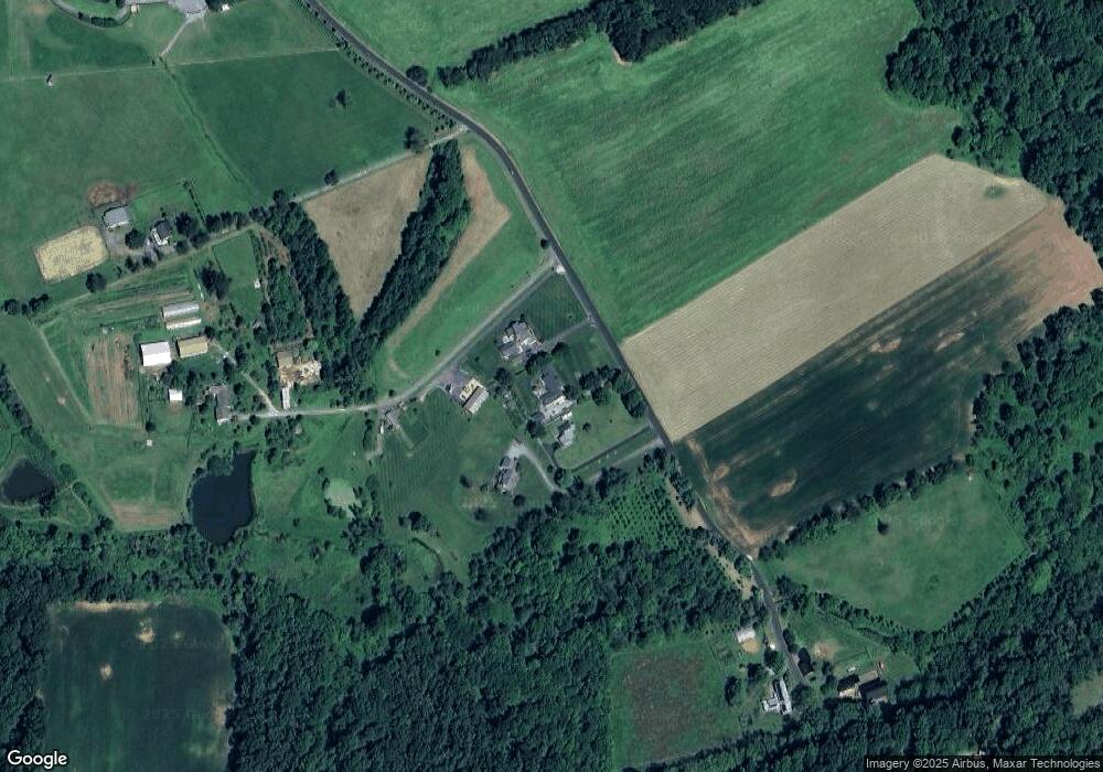
Map
Nearby Homes
- Lot 15 Westview Dr
- 3526 Ellen Dr
- 1110 Algernon Dr
- 3319 Mail Rd
- 3489 Salem Bottom Rd
- 2262 Cherokee Dr
- 2900 Marston Rd
- 2208 Bluebird Dr
- 2210 Skylark Dr
- 4539 Salem Bottom Rd
- 970 Oak Tree Rd
- 3174 Cardinal Dr
- 0 Bear Branch Rd
- PARCEL 198 Dennings Rd
- 2613 Liberty Rd
- 2322 Nicodemus Rd
- 4328 Ridge Rd Unit 13
- 2636 Marston Rd
- 5134 Perry Rd
- 2995 Sams Creek Rd