3686 E 1100 N Roanoke, IN 46783
Estimated Value: $390,000 - $599,317
3
Beds
2
Baths
1,689
Sq Ft
$298/Sq Ft
Est. Value
About This Home
This home is located at 3686 E 1100 N, Roanoke, IN 46783 and is currently estimated at $503,772, approximately $298 per square foot. 3686 E 1100 N is a home located in Huntington County with nearby schools including Roanoke Elementary School, Crestview Middle School, and Huntington North High School.
Ownership History
Date
Name
Owned For
Owner Type
Purchase Details
Closed on
Sep 19, 2006
Sold by
Grostefon Wesley J and Grostefon Barbara A
Bought by
Dennis Robert C and Dennis Marllyn S
Current Estimated Value
Home Financials for this Owner
Home Financials are based on the most recent Mortgage that was taken out on this home.
Original Mortgage
$43,650
Interest Rate
6.58%
Mortgage Type
Purchase Money Mortgage
Create a Home Valuation Report for This Property
The Home Valuation Report is an in-depth analysis detailing your home's value as well as a comparison with similar homes in the area
Home Values in the Area
Average Home Value in this Area
Purchase History
| Date | Buyer | Sale Price | Title Company |
|---|---|---|---|
| Dennis Robert C | -- | None Available |
Source: Public Records
Mortgage History
| Date | Status | Borrower | Loan Amount |
|---|---|---|---|
| Closed | Dennis Robert C | $43,650 |
Source: Public Records
Tax History Compared to Growth
Tax History
| Year | Tax Paid | Tax Assessment Tax Assessment Total Assessment is a certain percentage of the fair market value that is determined by local assessors to be the total taxable value of land and additions on the property. | Land | Improvement |
|---|---|---|---|---|
| 2024 | $5,975 | $424,900 | $88,300 | $336,600 |
| 2023 | $5,733 | $385,000 | $88,300 | $296,700 |
| 2022 | $5,101 | $354,200 | $88,300 | $265,900 |
| 2021 | $4,686 | $294,900 | $53,000 | $241,900 |
| 2020 | $4,639 | $282,300 | $53,000 | $229,300 |
| 2019 | $4,036 | $269,800 | $53,000 | $216,800 |
| 2018 | $4,374 | $273,600 | $53,000 | $220,600 |
| 2017 | $3,963 | $277,400 | $53,000 | $224,400 |
| 2016 | $3,603 | $276,300 | $53,000 | $223,300 |
| 2014 | $2,322 | $262,200 | $53,000 | $209,200 |
| 2013 | $2,322 | $259,100 | $53,000 | $206,100 |
Source: Public Records
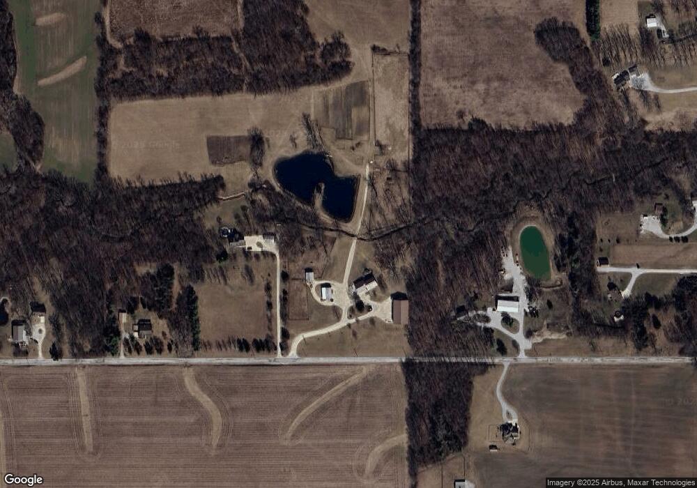
Map
Nearby Homes
- 3069 E 1200 N
- 1047 Stevens Ct
- 4543 E 1200 N
- 836 N Seminary St
- 775 N Seminary St
- 715 N Seminary St
- 180 W 6th St
- 599 N Seminary St
- tbd Kilsoquah
- TBD Feighner Rd
- 183 W Vine St
- 366 Hillside Ave
- 548 Frederick Crossing
- 602 Nancyk Crossing
- 765 Waxwing Ct
- 680 Helms Orange Dr
- 451 Rockwell Ave
- 4565 E Station Rd
- 6120 E 900 S
- 7415 Witling Blvd