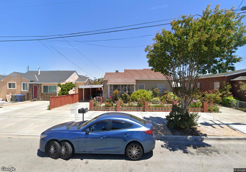
36864 Elm St Newark, CA 94560
Estimated Value: $1,278,000 - $1,814,000
--
Bed
3
Baths
2,295
Sq Ft
$630/Sq Ft
Est. Value
About This Home
This home is located at 36864 Elm St, Newark, CA 94560 and is currently estimated at $1,445,630, approximately $629 per square foot. 36864 Elm St is a home located in Alameda County with nearby schools including August Schilling Elementary School, Newark Junior High School, and Newark Memorial High School.
Ownership History
Date
Name
Owned For
Owner Type
Purchase Details
Closed on
Apr 28, 2017
Sold by
Dreke Ligia Maria
Bought by
Dreke Ligia M and The Ligia M Dreke Living Trust
Current Estimated Value
Purchase Details
Closed on
Dec 30, 2008
Sold by
Dreke Ligia Maria
Bought by
Silva Mario A and Dreke Ligia Maria
Purchase Details
Closed on
Nov 8, 2001
Sold by
Silva Silvina A
Bought by
Silva Silvina A and The Silvina A Silva Trust
Create a Home Valuation Report for This Property
The Home Valuation Report is an in-depth analysis detailing your home's value as well as a comparison with similar homes in the area
Home Values in the Area
Average Home Value in this Area
Purchase History
| Date | Buyer | Sale Price | Title Company |
|---|---|---|---|
| Dreke Ligia M | -- | None Available | |
| Silva Mario A | -- | None Available | |
| Silva Silvina A | -- | -- |
Source: Public Records
Tax History
| Year | Tax Paid | Tax Assessment Tax Assessment Total Assessment is a certain percentage of the fair market value that is determined by local assessors to be the total taxable value of land and additions on the property. | Land | Improvement |
|---|---|---|---|---|
| 2025 | $3,858 | $83,667 | $28,043 | $55,624 |
| 2024 | $3,858 | $82,026 | $27,493 | $54,533 |
| 2023 | $3,644 | $80,418 | $26,954 | $53,464 |
| 2022 | $3,455 | $78,841 | $26,425 | $52,416 |
| 2021 | $3,425 | $77,295 | $25,907 | $51,388 |
| 2020 | $2,911 | $76,503 | $25,642 | $50,861 |
| 2019 | $2,896 | $75,003 | $25,139 | $49,864 |
| 2018 | $2,819 | $73,533 | $24,646 | $48,887 |
| 2017 | $2,736 | $72,091 | $24,163 | $47,928 |
| 2016 | $2,657 | $70,677 | $23,689 | $46,988 |
| 2015 | $2,638 | $69,616 | $23,333 | $46,283 |
| 2014 | $2,553 | $68,252 | $22,876 | $45,376 |
Source: Public Records
Map
Nearby Homes
- 6417/6433 Thornton Ave
- 36871 Locust St
- 7843 Railroad Ave
- 36563 Beutke Dr
- 37029 Olive St
- 6364 Noel Ave
- 8093 Del Monte Ave
- 6328 Zulmida Ave
- 36184 Toulouse St
- 6245 Thornton Ave
- 37541 Bay Crest Rd
- 37645 Bay Crest Rd
- 37471 Bay Crest Rd
- 6252 Bennington Dr
- 37721 Bay Crest Rd
- 37629 Breakers Rd
- 6048 Bellhaven Ave
- 8550 Boardwalk Way
- 37515 Sea Bank St
- 5912 Mayhews Landing Rd
Your Personal Tour Guide
Ask me questions while you tour the home.