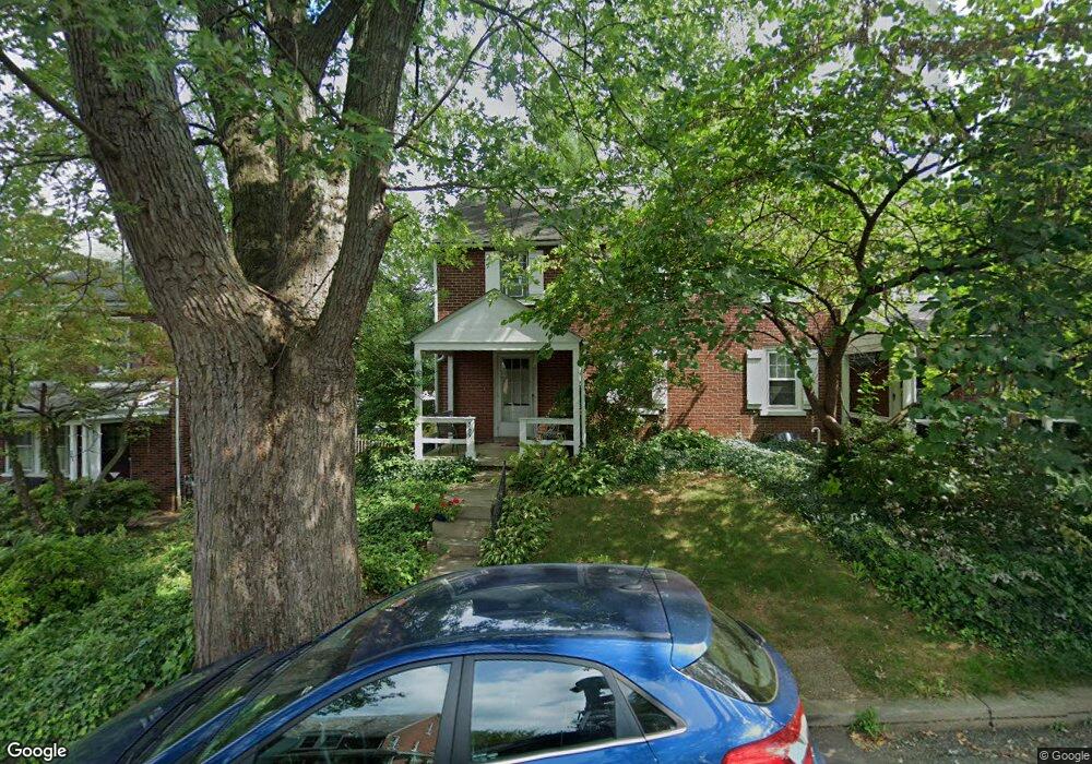
369 Atkins Ave Lancaster, PA 17603
West Lancaster NeighborhoodEstimated Value: $233,000 - $271,727
3
Beds
1
Bath
1,100
Sq Ft
$234/Sq Ft
Est. Value
About This Home
This home is located at 369 Atkins Ave, Lancaster, PA 17603 and is currently estimated at $257,682, approximately $234 per square foot. 369 Atkins Ave is a home located in Lancaster County with nearby schools including Smith-Wade-El Elementary School, Wheatland Middle School, and McCaskey High School.
Ownership History
Date
Name
Owned For
Owner Type
Purchase Details
Closed on
Feb 28, 2007
Sold by
Glass Calliope and Glass Gordon L
Bought by
Wentzel Jessica M
Current Estimated Value
Home Financials for this Owner
Home Financials are based on the most recent Mortgage that was taken out on this home.
Original Mortgage
$98,925
Outstanding Balance
$59,911
Interest Rate
6.27%
Mortgage Type
Purchase Money Mortgage
Estimated Equity
$197,771
Create a Home Valuation Report for This Property
The Home Valuation Report is an in-depth analysis detailing your home's value as well as a comparison with similar homes in the area
Home Values in the Area
Average Home Value in this Area
Purchase History
| Date | Buyer | Sale Price | Title Company |
|---|---|---|---|
| Wentzel Jessica M | $131,900 | None Available |
Source: Public Records
Mortgage History
| Date | Status | Borrower | Loan Amount |
|---|---|---|---|
| Open | Wentzel Jessica M | $98,925 |
Source: Public Records
Tax History Compared to Growth
Tax History
| Year | Tax Paid | Tax Assessment Tax Assessment Total Assessment is a certain percentage of the fair market value that is determined by local assessors to be the total taxable value of land and additions on the property. | Land | Improvement |
|---|---|---|---|---|
| 2025 | $3,749 | $130,000 | $41,400 | $88,600 |
| 2024 | $3,749 | $130,000 | $41,400 | $88,600 |
| 2023 | $3,663 | $130,000 | $41,400 | $88,600 |
| 2022 | $3,444 | $130,000 | $41,400 | $88,600 |
| 2021 | $3,340 | $130,000 | $41,400 | $88,600 |
| 2020 | $3,340 | $130,000 | $41,400 | $88,600 |
| 2019 | $3,269 | $130,000 | $41,400 | $88,600 |
| 2018 | $2,773 | $130,000 | $41,400 | $88,600 |
| 2017 | $2,991 | $91,500 | $28,500 | $63,000 |
| 2016 | $2,936 | $91,500 | $28,500 | $63,000 |
| 2015 | $397 | $91,500 | $28,500 | $63,000 |
| 2014 | $2,014 | $91,500 | $28,500 | $63,000 |
Source: Public Records
Map
Nearby Homes
- 338 Atkins Ave
- 1303 Cheves Place
- 170 S President Ave
- 303 Perry Ave
- 120 Atkins Ave
- 231 S West End Ave
- 729 6th St
- 885 Manor St
- 919 Edgewood Ave
- 19 Atkins Ave
- 0 Charlestown Rd Unit PALA2058994
- 1252 Elm Ave
- 1324 Millersville Pike
- 727 3rd St
- 9 Roselle Ave
- 338 Ruby St
- 304 Ruby St
- 131 Pearl St
- 625 5th St
- 55 S Pearl St
- 371 Atkins Ave
- 365 Atkins Ave
- 363 Atkins Ave
- 999 Hamilton Park Dr
- 359 Atkins Ave
- 357 Atkins Ave
- 1001 Hamilton Park Dr
- 366 Atkins Ave
- 353 Atkins Ave
- 364 Atkins Ave
- 1003 Hamilton Park Dr
- 362 Atkins Ave
- 360 Atkins Ave
- 351 Atkins Ave
- 401 Atkins Ave
- 1005 Hamilton Park Dr
- 358 Atkins Ave
- 347 Atkins Ave
- 402 Atkins Ave
- 354 Atkins Ave