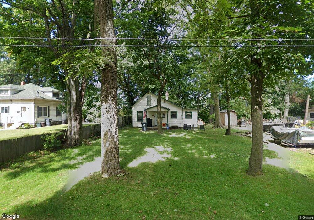
369 Bluff Ct Benton Harbor, MI 49022
Fair Plain NeighborhoodEstimated Value: $76,777 - $120,000
2
Beds
1
Bath
787
Sq Ft
$123/Sq Ft
Est. Value
About This Home
This home is located at 369 Bluff Ct, Benton Harbor, MI 49022 and is currently estimated at $96,444, approximately $122 per square foot. 369 Bluff Ct is a home located in Berrien County with nearby schools including Fair Plain Middle School, Benton Harbor High School, and Benton Harbor Charter School Academy.
Ownership History
Date
Name
Owned For
Owner Type
Purchase Details
Closed on
Oct 24, 2003
Sold by
M & W Rental Properties Llc
Bought by
M & W Rental Properties Llc
Current Estimated Value
Home Financials for this Owner
Home Financials are based on the most recent Mortgage that was taken out on this home.
Original Mortgage
$215,000
Interest Rate
6.01%
Mortgage Type
Purchase Money Mortgage
Purchase Details
Closed on
Jun 9, 1994
Purchase Details
Closed on
Jun 26, 1991
Create a Home Valuation Report for This Property
The Home Valuation Report is an in-depth analysis detailing your home's value as well as a comparison with similar homes in the area
Home Values in the Area
Average Home Value in this Area
Purchase History
| Date | Buyer | Sale Price | Title Company |
|---|---|---|---|
| M & W Rental Properties Llc | -- | -- | |
| -- | $100 | -- | |
| -- | $13,500 | -- |
Source: Public Records
Mortgage History
| Date | Status | Borrower | Loan Amount |
|---|---|---|---|
| Closed | M & W Rental Properties Llc | $215,000 |
Source: Public Records
Tax History
| Year | Tax Paid | Tax Assessment Tax Assessment Total Assessment is a certain percentage of the fair market value that is determined by local assessors to be the total taxable value of land and additions on the property. | Land | Improvement |
|---|---|---|---|---|
| 2025 | $715 | $27,300 | $0 | $0 |
| 2024 | $520 | $23,300 | $0 | $0 |
| 2023 | $495 | $21,100 | $0 | $0 |
| 2022 | $472 | $20,100 | $0 | $0 |
| 2021 | $620 | $21,400 | $7,400 | $14,000 |
| 2020 | $592 | $20,800 | $0 | $0 |
| 2019 | $572 | $16,900 | $3,500 | $13,400 |
| 2018 | $535 | $16,900 | $0 | $0 |
| 2017 | $526 | $16,100 | $0 | $0 |
| 2016 | $516 | $16,000 | $0 | $0 |
| 2015 | $514 | $14,000 | $0 | $0 |
| 2014 | $406 | $16,500 | $0 | $0 |
Source: Public Records
Map
Nearby Homes
- 377 Parker Ave
- 389 Parker Ave
- 298 W Empire Ave
- 266 Parker Ave
- 1000 Riverview Dr Unit 11
- 177 Hastings Ave
- 399 Island Pointe Dr Unit Slip 175
- 979 Lavette Ave
- 1298 Colfax Ave
- 398 Anchors Way Unit 87s
- 398 Anchors Way Unit 82s
- V/L Mcalister
- 379 Western Ave
- 1045 Broadway
- 180 Emery Ave
- 1216 Broadway
- 1096 Pearl St
- 614 Pavone St
- 758 Pearl St
- 1238 Broadway
Your Personal Tour Guide
Ask me questions while you tour the home.