369 Deer Path Ln Bristol, NH 03222
Estimated Value: $1,625,772 - $2,085,000
3
Beds
1
Bath
1,419
Sq Ft
$1,270/Sq Ft
Est. Value
About This Home
This home is located at 369 Deer Path Ln, Bristol, NH 03222 and is currently estimated at $1,802,193, approximately $1,270 per square foot. 369 Deer Path Ln is a home located in Grafton County with nearby schools including Bridgewater-Hebron Village School.
Ownership History
Date
Name
Owned For
Owner Type
Purchase Details
Closed on
Feb 10, 2017
Sold by
Small Steven A and Small Kelly R
Bought by
Small Ret
Current Estimated Value
Purchase Details
Closed on
Apr 5, 2013
Sold by
Small Norman R and Small Steven A
Bought by
Small Steven A and Small Kelley R
Purchase Details
Closed on
Oct 4, 2010
Sold by
Drapeau Marcia and Day Cheryl
Bought by
Small Steven A and Small Kelley R
Home Financials for this Owner
Home Financials are based on the most recent Mortgage that was taken out on this home.
Original Mortgage
$417,000
Interest Rate
4.44%
Mortgage Type
Purchase Money Mortgage
Create a Home Valuation Report for This Property
The Home Valuation Report is an in-depth analysis detailing your home's value as well as a comparison with similar homes in the area
Home Values in the Area
Average Home Value in this Area
Purchase History
| Date | Buyer | Sale Price | Title Company |
|---|---|---|---|
| Small Ret | -- | -- | |
| Small Steven A | -- | -- | |
| Small Steven A | $650,000 | -- |
Source: Public Records
Mortgage History
| Date | Status | Borrower | Loan Amount |
|---|---|---|---|
| Previous Owner | Small Steven A | $417,000 |
Source: Public Records
Tax History Compared to Growth
Tax History
| Year | Tax Paid | Tax Assessment Tax Assessment Total Assessment is a certain percentage of the fair market value that is determined by local assessors to be the total taxable value of land and additions on the property. | Land | Improvement |
|---|---|---|---|---|
| 2024 | $10,621 | $1,966,800 | $1,355,000 | $611,800 |
| 2023 | $10,456 | $1,297,300 | $881,200 | $416,100 |
| 2022 | $10,716 | $1,297,300 | $881,200 | $416,100 |
| 2021 | $10,729 | $1,297,300 | $881,200 | $416,100 |
| 2020 | $10,871 | $1,297,300 | $881,200 | $416,100 |
| 2019 | $9,016 | $923,800 | $580,100 | $343,700 |
| 2018 | $8,758 | $923,800 | $580,100 | $343,700 |
| 2017 | $8,887 | $923,800 | $580,100 | $343,700 |
| 2016 | $8,711 | $923,800 | $580,100 | $343,700 |
| 2015 | $6,307 | $648,200 | $510,800 | $137,400 |
| 2014 | $5,619 | $602,300 | $510,800 | $91,500 |
Source: Public Records
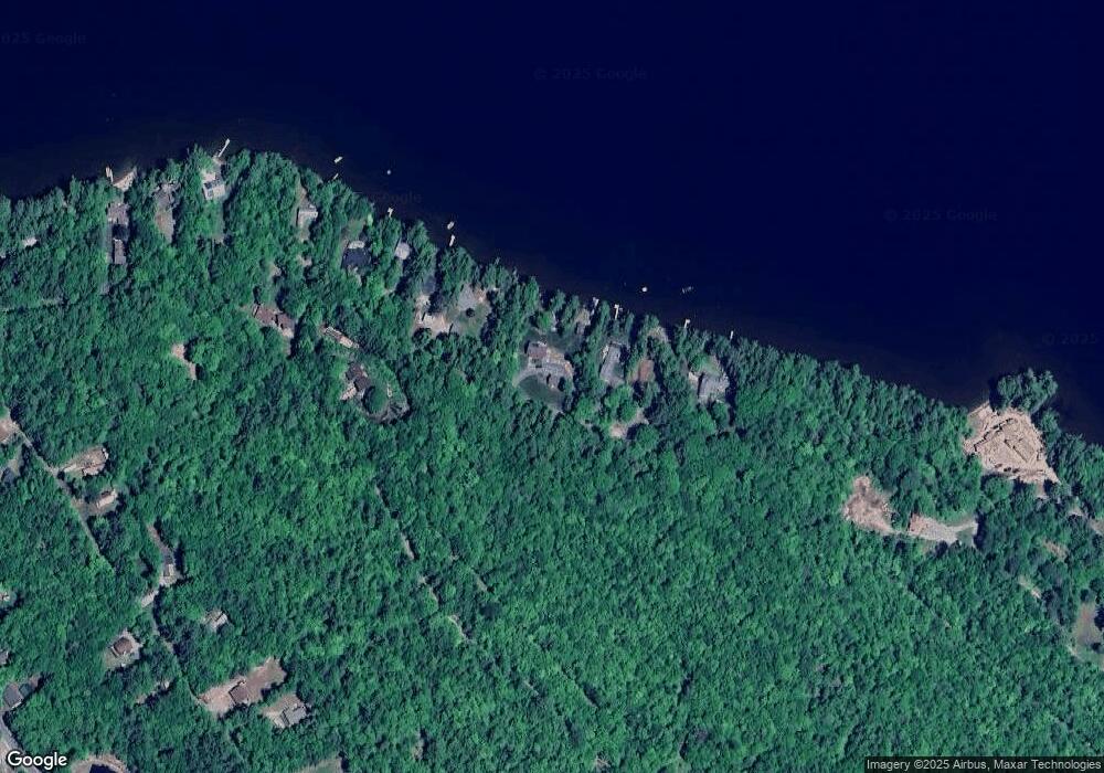
Map
Nearby Homes
- 275 Shore Dr N
- 29 Pasquaney Ln Unit 10
- 199 Cottage City Rd
- 29 Mollie Rd
- 383 Wulamat Rd
- 326 Wulamat Rd
- 400 Wulamat Rd
- 420 Wulamat Rd
- 497 W Shore Rd
- 988 W Shore Rd
- 711 W Shore Rd
- 25 S Face Rd Unit A
- 17 Village Dr W Unit 11
- 50 Browns Beach Rd
- 00 Ledgewood Cir
- 151 Brock Hill Rd
- 45 Grandview Dr Unit 3
- 35 Manor Estates Dr Unit 14
- 26 Don Gerry Rd
- 94 Mandi Ln
- 383 Deer Path Ln
- 353 Deer Path Ln
- 395 Deer Path Ln
- 331 Deer Path Ln
- 321 Deer Path Ln
- 274 Deer Path Ln
- 311 Deer Path Ln
- 299 Deer Path Ln
- 293 Deer Path Ln
- 289 Deer Path Ln
- 291 Deer Path Ln
- 175 Dix St
- 349 Shore Dr N
- 246 Whittemore Point Rd N
- 224 Dix St
- 244 Dix St
- 00 Dix St Unit 195
- Lot 173 Dix St
- 00 Dix St
- 0 Dix St