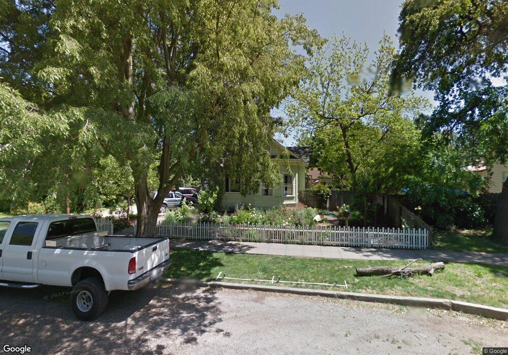
369 E 17th St Chico, CA 95928
Mulberry NeighborhoodEstimated Value: $302,000 - $340,000
2
Beds
1
Bath
1,108
Sq Ft
$292/Sq Ft
Est. Value
About This Home
This home is located at 369 E 17th St, Chico, CA 95928 and is currently estimated at $323,547, approximately $292 per square foot. 369 E 17th St is a home located in Butte County with nearby schools including Chapman Elementary School, Harry M. Marsh Junior High School, and Chico High School.
Ownership History
Date
Name
Owned For
Owner Type
Purchase Details
Closed on
Jul 27, 2022
Sold by
Robinson Craig V and Robinson Cynthia M
Bought by
Mccaslin Corey Jacob
Current Estimated Value
Home Financials for this Owner
Home Financials are based on the most recent Mortgage that was taken out on this home.
Original Mortgage
$309,600
Interest Rate
5.89%
Mortgage Type
New Conventional
Create a Home Valuation Report for This Property
The Home Valuation Report is an in-depth analysis detailing your home's value as well as a comparison with similar homes in the area
Home Values in the Area
Average Home Value in this Area
Purchase History
| Date | Buyer | Sale Price | Title Company |
|---|---|---|---|
| Mccaslin Corey Jacob | $319,540 | Amrock |
Source: Public Records
Mortgage History
| Date | Status | Borrower | Loan Amount |
|---|---|---|---|
| Previous Owner | Mccaslin Corey Jacob | $309,600 |
Source: Public Records
Tax History
| Year | Tax Paid | Tax Assessment Tax Assessment Total Assessment is a certain percentage of the fair market value that is determined by local assessors to be the total taxable value of land and additions on the property. | Land | Improvement |
|---|---|---|---|---|
| 2025 | $3,554 | $332,407 | $156,060 | $176,347 |
| 2024 | $3,554 | $325,890 | $153,000 | $172,890 |
| 2023 | $3,511 | $319,500 | $150,000 | $169,500 |
| 2022 | $1,252 | $115,798 | $49,500 | $66,298 |
| 2021 | $1,223 | $113,529 | $48,530 | $64,999 |
| 2020 | $1,222 | $112,366 | $48,033 | $64,333 |
| 2019 | $1,201 | $110,164 | $47,092 | $63,072 |
| 2018 | $1,176 | $108,005 | $46,169 | $61,836 |
| 2017 | $1,147 | $105,888 | $45,264 | $60,624 |
| 2016 | $1,049 | $103,813 | $44,377 | $59,436 |
| 2015 | $1,047 | $102,255 | $43,711 | $58,544 |
| 2014 | $1,025 | $100,253 | $42,855 | $57,398 |
Source: Public Records
Map
Nearby Homes
- 1640 Hemlock St
- 0 Fair St Unit SN25230897
- 1764 Elm St
- 480 E 20th St
- 573 E 19th St
- 2085 Mulberry St
- 1608 Broadway St
- 1224 Locust St
- 1731 Salem St
- 1631 Salem St
- 951 Cleveland Ave
- 467 E 22nd St
- 140 W 22nd St
- 1157 Broadway St
- 1318 Salem St
- 225 W 12th St
- 1022 Linden St
- 667 E 8th St
- 370 Yarrow Dr
- 1029 Salem St
- 353 E 17th St
- 383 E 17th St
- 1733 Hemlock St
- 1738 Mulberry St
- 1747 Hemlock St
- 354 E 17th St
- 1712 Hemlock St
- 1706 Hemlock St
- 1722 Hemlock St
- 1734 Hemlock St
- 1630 Mulberry St
- 1744 Hemlock St
- 1800 Mulberry St
- 0 18th E Unit CH17011741
- 0 18th E Unit CH17173205
- 0 18th E Unit SN18285158
- 1711 Mulberry St
- 1705 Mulberry St
- 1813 Hemlock St
- 1719 Mulberry St
Your Personal Tour Guide
Ask me questions while you tour the home.