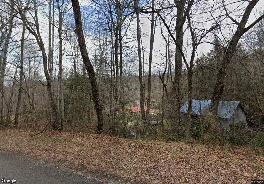
369 K and R Rd Butler, TN 37640
Estimated Value: $172,295 - $464,000
6
Beds
3
Baths
3,192
Sq Ft
$98/Sq Ft
Est. Value
About This Home
This home is located at 369 K and R Rd, Butler, TN 37640 and is currently estimated at $312,574, approximately $97 per square foot. 369 K and R Rd is a home located in Johnson County with nearby schools including Johnson County Middle School and Johnson County High School.
Ownership History
Date
Name
Owned For
Owner Type
Purchase Details
Closed on
Feb 11, 2014
Sold by
Porter Sandra M
Bought by
Porter Anthony G
Current Estimated Value
Purchase Details
Closed on
Nov 5, 2011
Sold by
Farmers State Bank
Bought by
Porter Anthony G and Porter Sandra M
Home Financials for this Owner
Home Financials are based on the most recent Mortgage that was taken out on this home.
Original Mortgage
$90,250
Interest Rate
4.02%
Mortgage Type
New Conventional
Purchase Details
Closed on
Jun 10, 2011
Sold by
Hoover Theodore
Bought by
Farmers State Bank
Purchase Details
Closed on
Jan 5, 1978
Bought by
Hoover Norma Jean and Hoover Ted
Create a Home Valuation Report for This Property
The Home Valuation Report is an in-depth analysis detailing your home's value as well as a comparison with similar homes in the area
Home Values in the Area
Average Home Value in this Area
Purchase History
| Date | Buyer | Sale Price | Title Company |
|---|---|---|---|
| Porter Anthony G | -- | -- | |
| Porter Anthony G | $95,000 | -- | |
| Farmers State Bank | $99,247 | -- | |
| Hoover Norma Jean | -- | -- |
Source: Public Records
Mortgage History
| Date | Status | Borrower | Loan Amount |
|---|---|---|---|
| Previous Owner | Porter Anthony G | $90,250 |
Source: Public Records
Tax History Compared to Growth
Tax History
| Year | Tax Paid | Tax Assessment Tax Assessment Total Assessment is a certain percentage of the fair market value that is determined by local assessors to be the total taxable value of land and additions on the property. | Land | Improvement |
|---|---|---|---|---|
| 2024 | $460 | $20,825 | $9,750 | $11,075 |
| 2023 | $460 | $20,825 | $9,750 | $11,075 |
| 2022 | $377 | $20,825 | $9,750 | $11,075 |
| 2021 | $377 | $20,825 | $9,750 | $11,075 |
| 2020 | $423 | $20,825 | $9,750 | $11,075 |
| 2019 | $423 | $20,650 | $8,800 | $11,850 |
| 2018 | $423 | $20,650 | $8,800 | $11,850 |
| 2017 | $423 | $20,650 | $8,800 | $11,850 |
| 2016 | $423 | $20,650 | $8,800 | $11,850 |
| 2015 | $374 | $20,650 | $8,800 | $11,850 |
| 2014 | $376 | $20,775 | $8,800 | $11,975 |
Source: Public Records
Map
Nearby Homes
- 000 W Highway 67
- 672 Stage Coach Loop
- 800 Leason Gregg Rd
- 1331 Pine Orchard Rd
- 1208 Doe Creek Rd
- 00 Roan Creek Rd
- 1820 Pine Orchard Rd
- Tbd Spear Branch Rd
- 9222 Roan Creek Rd
- 382 Lowell Stalcup Rd
- TBD Roan Creek Rd
- Lot 6b Roan Creek Rd
- 36b Roan Creek Rd
- 6b2 Roan Creek Rd
- 268 Moreland Dr
- 128 Overlook Ln
- 4379 Pine Orchard Rd
- 3085 Slabtown Rd
- 125 Dogwood Ln
- 2835 Cross Mountain Rd
- 000 K and R Rd
- 400 Pandora Fork Ln
- 333 K and R Rd
- 423 Pandora Fork Rd
- Lot 8 Pandora Fork Rd
- Lot 7 Pandora Fork Rd
- 000 Pandora Fork Rd
- 0 Pandora Fork Rd
- 579 K and R Rd
- 182 K and R Rd
- 246 Pandora Fork Ln
- 178 K and R Rd
- 158 Pandora Ln
- 412 K and R Rd
- 216 Pandora Ln
- 9589 Highway 67 W
- 9501 Highway 67 W
- 123 Pandora Fork Ln
- 123 Pandora Fork Rd
- 9459 Highway 67 W
