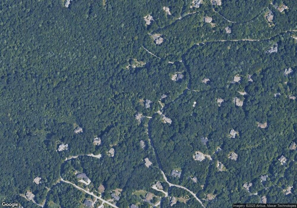
369 Kenmure Dr Flat Rock, NC 28731
Estimated Value: $1,071,000 - $1,294,000
3
Beds
4
Baths
3,920
Sq Ft
$310/Sq Ft
Est. Value
About This Home
This home is located at 369 Kenmure Dr, Flat Rock, NC 28731 and is currently estimated at $1,214,765, approximately $309 per square foot. 369 Kenmure Dr is a home located in Henderson County with nearby schools including Hillandale Elementary School, Flat Rock Middle School, and East Henderson High School.
Ownership History
Date
Name
Owned For
Owner Type
Purchase Details
Closed on
Aug 16, 2018
Sold by
Firth Jake
Bought by
Mcglashan Frank and Mcglashan Mary
Current Estimated Value
Purchase Details
Closed on
May 2, 2005
Sold by
Not Provided
Bought by
Firth Jake and Firth Jennifer M
Home Financials for this Owner
Home Financials are based on the most recent Mortgage that was taken out on this home.
Original Mortgage
$599,200
Interest Rate
5.88%
Mortgage Type
Purchase Money Mortgage
Create a Home Valuation Report for This Property
The Home Valuation Report is an in-depth analysis detailing your home's value as well as a comparison with similar homes in the area
Home Values in the Area
Average Home Value in this Area
Purchase History
| Date | Buyer | Sale Price | Title Company |
|---|---|---|---|
| Mcglashan Frank | $699,000 | -- | |
| Firth Jake | $746,000 | -- |
Source: Public Records
Mortgage History
| Date | Status | Borrower | Loan Amount |
|---|---|---|---|
| Previous Owner | Firth Jake | $599,200 |
Source: Public Records
Tax History Compared to Growth
Tax History
| Year | Tax Paid | Tax Assessment Tax Assessment Total Assessment is a certain percentage of the fair market value that is determined by local assessors to be the total taxable value of land and additions on the property. | Land | Improvement |
|---|---|---|---|---|
| 2025 | $4,872 | $1,130,300 | $125,200 | $1,005,100 |
| 2024 | $4,872 | $1,130,300 | $125,200 | $1,005,100 |
| 2023 | $4,872 | $1,130,300 | $125,200 | $1,005,100 |
| 2022 | $4,572 | $814,900 | $118,700 | $696,200 |
| 2021 | $4,572 | $814,900 | $118,700 | $696,200 |
| 2020 | $4,572 | $814,900 | $0 | $0 |
| 2019 | $4,610 | $821,700 | $0 | $0 |
| 2018 | $4,243 | $750,900 | $0 | $0 |
| 2017 | $4,243 | $750,900 | $0 | $0 |
| 2016 | $4,243 | $750,900 | $0 | $0 |
| 2015 | -- | $750,900 | $0 | $0 |
| 2014 | -- | $732,700 | $0 | $0 |
Source: Public Records
Map
Nearby Homes
- 360 Kenmure Dr
- 231 Greenleaf Dr
- 101 Beckwood Ct
- 107 Woodglen Ct
- 000 Berry Creek Dr
- 000 Greenleaf Dr
- 100 Elmridge Dr
- 204 Greenleaf Dr
- 103 Berry Creek Dr Unit 22
- 634 Hollybrook Dr
- 117 Founders Dr
- 175 Old Hillside Ln
- 135 Poplar Loop Dr
- 654 Hollybrook Dr
- 105 Maple Hill Dr
- 150 Founders Dr Unit 159
- 516 Overlook Dr
- 807 Hollybrook Dr
- 155 Poplar Loop Dr
- 23 Haverhill Ct
- 369 Kenmure Dr Unit 120
- 365 Kenmure Dr
- 373 Kenmure Dr
- 364 Kenmure Dr
- 360 Kenmure Dr Unit 4
- 361 Kenmure Dr
- 732 Overlook Dr
- 357 Kenmure Dr
- 236 Greenleaf Dr
- 719 Overlook Dr Unit 58
- 107 Beckwood Ct
- 107 Beckwood Ct Unit A-131
- 105 Beckwood Ct
- 722 Overlook Dr Unit A-109R
- 722 Overlook Dr
- 602 Kenmure Dr
- 257 Dalhousie Ct
- 352 Kenmure Dr
- 255 Dalhousie Ct
- 103 Beckwood Ct
