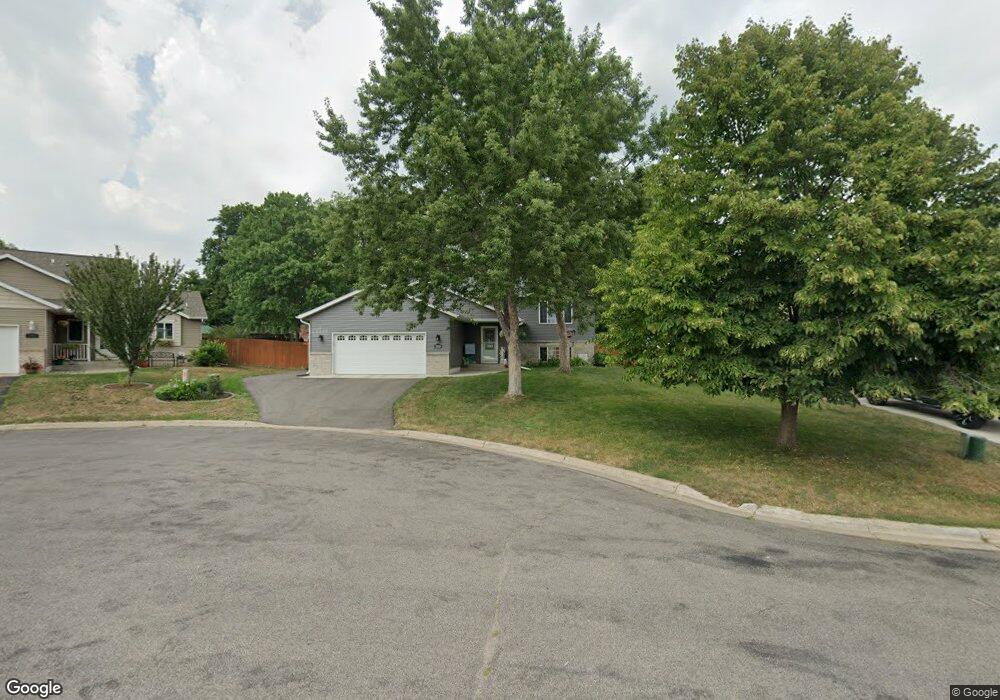
369 Killinger Cir Sauk Rapids, MN 56379
Estimated Value: $260,000 - $300,038
4
Beds
1
Bath
1,136
Sq Ft
$250/Sq Ft
Est. Value
About This Home
This home is located at 369 Killinger Cir, Sauk Rapids, MN 56379 and is currently estimated at $283,760, approximately $249 per square foot. 369 Killinger Cir is a home located in Benton County with nearby schools including Pleasant View Elementary School, Sauk Rapids-Rice Middle School, and Sauk Rapids-Rice Senior High School.
Ownership History
Date
Name
Owned For
Owner Type
Purchase Details
Closed on
Apr 27, 2006
Sold by
Demarais Justin C and Demarais Bridge L
Bought by
Demars Daniel J and Demars Amanda M
Current Estimated Value
Home Financials for this Owner
Home Financials are based on the most recent Mortgage that was taken out on this home.
Original Mortgage
$153,600
Outstanding Balance
$88,908
Interest Rate
6.39%
Mortgage Type
New Conventional
Estimated Equity
$194,852
Create a Home Valuation Report for This Property
The Home Valuation Report is an in-depth analysis detailing your home's value as well as a comparison with similar homes in the area
Home Values in the Area
Average Home Value in this Area
Purchase History
| Date | Buyer | Sale Price | Title Company |
|---|---|---|---|
| Demars Daniel J | -- | -- |
Source: Public Records
Mortgage History
| Date | Status | Borrower | Loan Amount |
|---|---|---|---|
| Open | Demars Daniel J | $153,600 |
Source: Public Records
Tax History
| Year | Tax Paid | Tax Assessment Tax Assessment Total Assessment is a certain percentage of the fair market value that is determined by local assessors to be the total taxable value of land and additions on the property. | Land | Improvement |
|---|---|---|---|---|
| 2025 | $3,360 | $294,900 | $32,900 | $262,000 |
| 2024 | $3,296 | $279,000 | $32,900 | $246,100 |
| 2023 | $3,136 | $280,600 | $32,900 | $247,700 |
| 2022 | $2,890 | $246,600 | $29,900 | $216,700 |
| 2021 | $2,632 | $210,500 | $29,900 | $180,600 |
| 2018 | $2,242 | $150,000 | $25,146 | $124,854 |
| 2017 | $2,242 | $136,000 | $24,649 | $111,351 |
| 2016 | $2,186 | $155,200 | $28,800 | $126,400 |
| 2015 | $2,112 | $115,900 | $23,757 | $92,143 |
| 2014 | -- | $110,300 | $23,461 | $86,839 |
| 2013 | -- | $111,700 | $23,550 | $88,150 |
Source: Public Records
Map
Nearby Homes
- 365 13th St N
- 1401 4 1/2 Ave N
- 405 16th St N
- 18th 18th
- 720 12th St N
- 707 Erickson Ct
- 870 18th St NW
- 820 18th St NW
- 390 18th Street Ct NW
- 143 Frontier Ct
- 1227 8th Ave N
- 1804 Oak Pond Dr
- 1209 Oak Pond Dr
- 1806 Oak Pond Dr
- 1043 2nd Ave N
- 828 Wollak Way
- 709 N Benton Dr
- 932 Oak Pond Ct
- 1001 Oak Pond Dr
- TBD N Benton Dr
- 379 Killinger Cir
- 363 Killinger Cir
- 356 Welsh Ct
- 352 Welsh Ct
- 360 Killinger Cir
- 360 Welsh Ct
- 370 Killinger Cir
- 378 Killinger Cir
- 1350 13th Street Cir
- 364 Killinger Cir
- 348 Welsh Ct
- 364 Welsh Ct
- 351 Welsh Ct
- 1406 4th Ave N
- 1402 4th Ave N
- 0 Xxx 4th Ave N
- 1360 13th Street Cir
- 344 Welsh Ct
- 1310 4th Ave N
- 400 15th St N
Your Personal Tour Guide
Ask me questions while you tour the home.