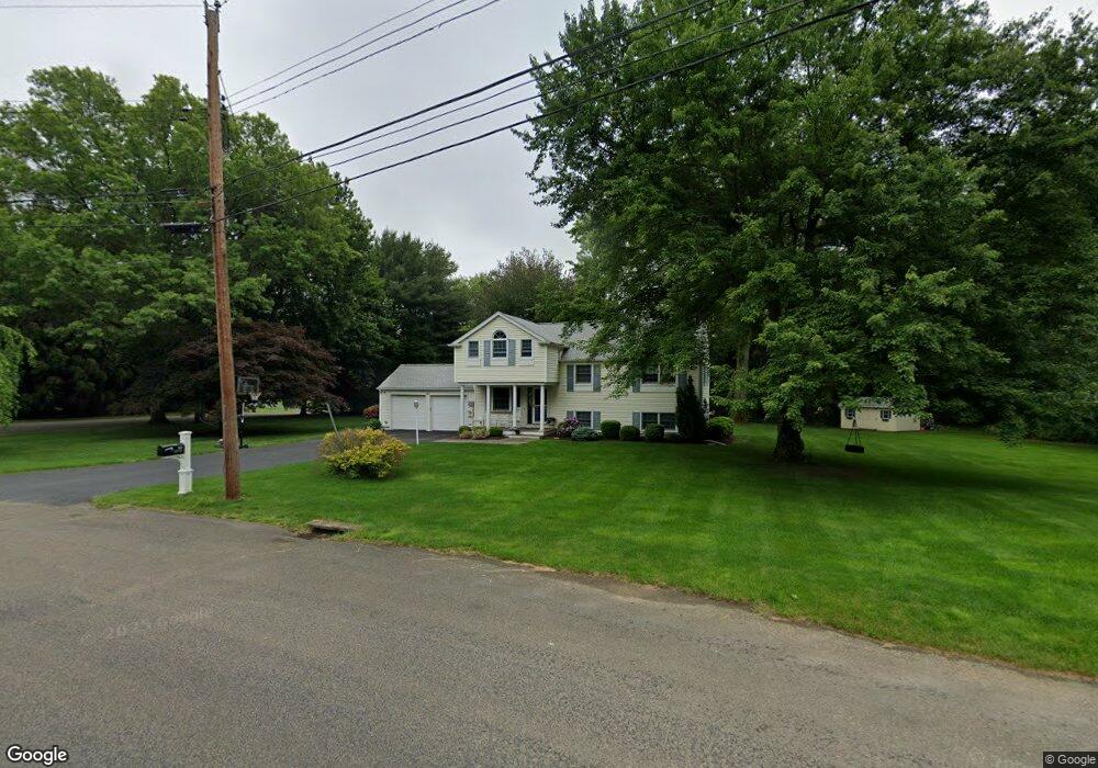
369 Miles Rd Orange, CT 06477
Estimated Value: $611,353 - $732,000
4
Beds
2
Baths
1,950
Sq Ft
$343/Sq Ft
Est. Value
About This Home
This home is located at 369 Miles Rd, Orange, CT 06477 and is currently estimated at $668,088, approximately $342 per square foot. 369 Miles Rd is a home located in New Haven County with nearby schools including Mary L. Tracy School, Peck Place School, and Amity Middle School: Orange.
Ownership History
Date
Name
Owned For
Owner Type
Purchase Details
Closed on
Jan 12, 2023
Sold by
Quinn Daniel C
Bought by
Kent Kelly S
Current Estimated Value
Home Financials for this Owner
Home Financials are based on the most recent Mortgage that was taken out on this home.
Original Mortgage
$214,000
Outstanding Balance
$207,162
Interest Rate
6.42%
Mortgage Type
New Conventional
Estimated Equity
$460,926
Purchase Details
Closed on
Mar 25, 1989
Sold by
Cooke Leonard W
Bought by
Krajcik Stephen G
Home Financials for this Owner
Home Financials are based on the most recent Mortgage that was taken out on this home.
Original Mortgage
$90,000
Interest Rate
10.49%
Mortgage Type
Purchase Money Mortgage
Create a Home Valuation Report for This Property
The Home Valuation Report is an in-depth analysis detailing your home's value as well as a comparison with similar homes in the area
Home Values in the Area
Average Home Value in this Area
Purchase History
| Date | Buyer | Sale Price | Title Company |
|---|---|---|---|
| Kent Kelly S | -- | None Available | |
| Krajcik Stephen G | $199,900 | -- |
Source: Public Records
Mortgage History
| Date | Status | Borrower | Loan Amount |
|---|---|---|---|
| Open | Kent Kelly S | $214,000 | |
| Previous Owner | Krajcik Stephen G | $100,100 | |
| Previous Owner | Krajcik Stephen G | $112,000 | |
| Previous Owner | Krajcik Stephen G | $92,000 | |
| Previous Owner | Krajcik Stephen G | $90,000 |
Source: Public Records
Tax History
| Year | Tax Paid | Tax Assessment Tax Assessment Total Assessment is a certain percentage of the fair market value that is determined by local assessors to be the total taxable value of land and additions on the property. | Land | Improvement |
|---|---|---|---|---|
| 2025 | $9,300 | $319,600 | $175,500 | $144,100 |
| 2024 | $9,908 | $319,600 | $175,500 | $144,100 |
| 2023 | $7,906 | $244,700 | $128,100 | $116,600 |
| 2022 | $8,004 | $244,700 | $128,100 | $116,600 |
| 2021 | $8,136 | $244,700 | $128,100 | $116,600 |
| 2020 | $8,011 | $244,700 | $128,100 | $116,600 |
| 2019 | $7,975 | $244,700 | $128,100 | $116,600 |
| 2018 | $7,830 | $244,700 | $128,100 | $116,600 |
| 2017 | $7,515 | $225,800 | $119,000 | $106,800 |
| 2016 | $7,271 | $225,800 | $119,000 | $106,800 |
| 2015 | $7,090 | $225,800 | $119,000 | $106,800 |
| 2014 | $6,887 | $225,800 | $119,000 | $106,800 |
Source: Public Records
Map
Nearby Homes
- 317 Narrow Ln
- 109 Green Meadow Rd
- 5 Amherst Dr
- 335 Foxwood Ln Unit 335E
- 334 Foxwood Ln Unit 334
- 448 Swanson Crescent
- 110 Foxwood Close Unit 110
- 32 Cedarhurst Ln
- 134 McQuillan Dr
- 11 Marble Ln
- 2 Turtle Ln
- 364 Orange Ave
- 422 W River Rd
- 33 Tall Pine Rd
- 21 Lyda Dr
- 492 North St
- 424 Racebrook Rd
- 6 Vernon Ct
- 167 Wepawaug Dr
- 40 Dale Dr
Your Personal Tour Guide
Ask me questions while you tour the home.