369 Northern Spy Cir Howard, OH 43028
Apple Valley NeighborhoodEstimated Value: $531,000
4
Beds
4
Baths
2,128
Sq Ft
$250/Sq Ft
Est. Value
About This Home
This home is located at 369 Northern Spy Cir, Howard, OH 43028 and is currently estimated at $531,000, approximately $249 per square foot. 369 Northern Spy Cir is a home with nearby schools including East Knox Elementary School and East Knox High School.
Ownership History
Date
Name
Owned For
Owner Type
Purchase Details
Closed on
Nov 2, 2020
Sold by
Lori A Graff Lt
Bought by
Housholder William E and Housholder William E
Current Estimated Value
Purchase Details
Closed on
Dec 27, 2012
Sold by
Didinger Carol A
Bought by
Graff Gregory B and Graff Lori A
Purchase Details
Closed on
Dec 28, 1989
Sold by
Samson John W and Samson Darlene S
Bought by
Didinger Carol A
Purchase Details
Closed on
Dec 15, 1986
Sold by
North Ruth
Bought by
Samson John W and Samson Darlene S
Create a Home Valuation Report for This Property
The Home Valuation Report is an in-depth analysis detailing your home's value as well as a comparison with similar homes in the area
Home Values in the Area
Average Home Value in this Area
Purchase History
| Date | Buyer | Sale Price | Title Company |
|---|---|---|---|
| Housholder William E | $115,000 | None Available | |
| Housholder William E | $425,000 | None Available | |
| Graff Gregory B | $213,750 | None Available | |
| Didinger Carol A | $265,000 | -- | |
| Samson John W | $28,000 | -- |
Source: Public Records
Tax History Compared to Growth
Tax History
| Year | Tax Paid | Tax Assessment Tax Assessment Total Assessment is a certain percentage of the fair market value that is determined by local assessors to be the total taxable value of land and additions on the property. | Land | Improvement |
|---|---|---|---|---|
| 2024 | $18,318 | $449,430 | $210,460 | $238,970 |
| 2023 | $18,318 | $449,430 | $210,460 | $238,970 |
| 2022 | $6,194 | $236,540 | $145,150 | $91,390 |
| 2021 | $6,194 | $130,630 | $130,630 | $0 |
| 2020 | $5,911 | $130,630 | $130,630 | $0 |
| 2019 | $2,453 | $49,480 | $49,480 | $0 |
| 2018 | $2,300 | $49,480 | $49,480 | $0 |
| 2017 | $2,283 | $49,480 | $49,480 | $0 |
| 2016 | $2,255 | $45,820 | $45,820 | $0 |
| 2015 | $1,959 | $45,820 | $45,820 | $0 |
| 2014 | $1,962 | $45,820 | $45,820 | $0 |
| 2013 | $1,867 | $41,340 | $41,340 | $0 |
Source: Public Records
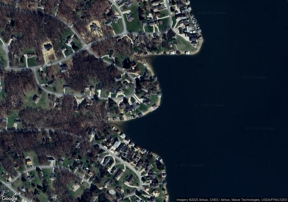
Map
Nearby Homes
- 531 Crabapple Dr
- 232 Northern Spy Dr
- 406 Crabapple Dr
- 265 Lakeview Heights Dr
- 770 Winesap Cir
- 719 Winesap Cir
- 318 Crabapple Dr
- 561 Mcintosh Dr
- 610 Crabapple Dr
- 667 Winesap Cir
- 177 Lakeview Heights Dr
- 43 Hawkeye Ct
- 214 Crabapple Dr
- 558 Crabapple Dr
- 629 Mcintosh Dr
- 93 Crabapple Ct
- 882 Winesap Dr
- 882 Winesap Dr Unit 197
- 890 Winesap Dr
- 512 Greenacre Cir
- 350 Northern Spy Cir
- 356 Northern Spy Cir
- 353 Northern Spy Cir
- 349 Northern Spy Cir
- 357 Northern Spy Cir
- 342 Northern Spy Cir
- 388 Northern Spy Cir
- 380 Northern Spy Cir
- 361 Northern Spy Cir
- 338 Northern Spy Cir
- 337 Northern Spy Cir
- 398 Northern Spy Cir
- 365 Northern Spy Cir
- 334 Northern Spy Cir
- 373 Northern Spy Cir
- 377 Northern Spy Cir
- 385 Northern Spy Cir
- 381 Northern Spy Cir
- 389 Northern Spy Cir
- 329 Northern Spy Cir