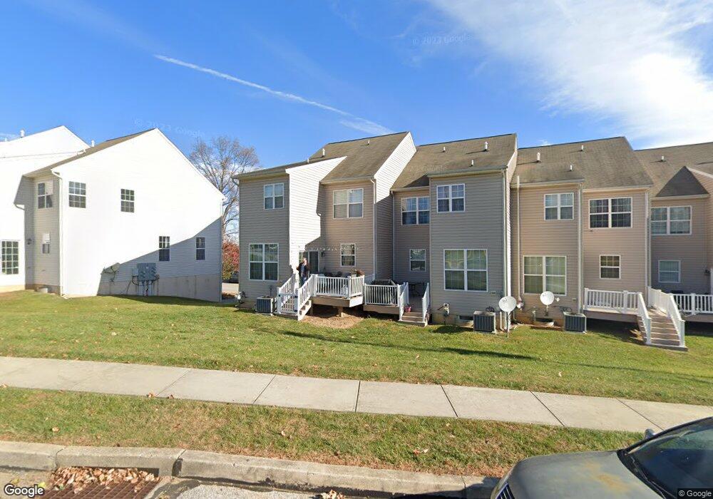
369 W Chestnut St Unit 6 Dallastown, PA 17313
Estimated Value: $237,759 - $264,000
3
Beds
3
Baths
2,248
Sq Ft
$111/Sq Ft
Est. Value
About This Home
This home is located at 369 W Chestnut St Unit 6, Dallastown, PA 17313 and is currently estimated at $249,440, approximately $110 per square foot. 369 W Chestnut St Unit 6 is a home located in York County with nearby schools including Dallastown Elementary School, Dallastown Area Middle School, and Dallastown Area High School.
Ownership History
Date
Name
Owned For
Owner Type
Purchase Details
Closed on
May 14, 2008
Sold by
Dallastown Acquisitions Lp
Bought by
Mcclure John C
Current Estimated Value
Home Financials for this Owner
Home Financials are based on the most recent Mortgage that was taken out on this home.
Original Mortgage
$152,900
Outstanding Balance
$97,789
Interest Rate
6.07%
Mortgage Type
Purchase Money Mortgage
Estimated Equity
$151,651
Create a Home Valuation Report for This Property
The Home Valuation Report is an in-depth analysis detailing your home's value as well as a comparison with similar homes in the area
Home Values in the Area
Average Home Value in this Area
Purchase History
| Date | Buyer | Sale Price | Title Company |
|---|---|---|---|
| Mcclure John C | $191,191 | Residential Title & Escrow C |
Source: Public Records
Mortgage History
| Date | Status | Borrower | Loan Amount |
|---|---|---|---|
| Open | Mcclure John C | $152,900 |
Source: Public Records
Tax History Compared to Growth
Tax History
| Year | Tax Paid | Tax Assessment Tax Assessment Total Assessment is a certain percentage of the fair market value that is determined by local assessors to be the total taxable value of land and additions on the property. | Land | Improvement |
|---|---|---|---|---|
| 2025 | $5,527 | $161,010 | $0 | $161,010 |
| 2024 | $5,446 | $161,010 | $0 | $161,010 |
| 2023 | $5,446 | $161,010 | $0 | $161,010 |
| 2022 | $5,268 | $161,010 | $0 | $161,010 |
| 2021 | $4,957 | $159,030 | $0 | $159,030 |
| 2020 | $4,957 | $159,030 | $0 | $159,030 |
| 2019 | $4,941 | $159,030 | $0 | $159,030 |
| 2018 | $4,908 | $159,030 | $0 | $159,030 |
| 2017 | $4,712 | $159,030 | $0 | $159,030 |
| 2016 | $0 | $159,030 | $0 | $159,030 |
| 2015 | -- | $159,030 | $0 | $159,030 |
| 2014 | -- | $159,030 | $0 | $159,030 |
Source: Public Records
Map
Nearby Homes
- 263 W Main St
- 53 S Franklin St
- 79 S Franklin St
- 2981 Sunset Dr
- 18 E Howard St
- 197 S Main St
- 74 S Main St
- 141 W Water St
- 430 E Maple St
- 114 Heather Glen Dr
- 0 Lot 15 Gary Dr
- 117 S Park St
- 1 N Duke St
- 55 Belmar Dr
- 350 Avon Dr Unit 270
- 374 Avon Dr Unit 282
- 680 Hampstead Ct
- 433 Bradford Dr Unit 188
- 435 Bradford Dr Unit 187
- 437 Bradford Dr Unit 186
- 365 W Chestnut St Unit 7
- 361 W Chestnut St Unit 8
- 357 W Chestnut St
- 357 W Chestnut St Unit 9
- 377 W Chestnut St Unit 5
- 381 W Chestnut St Unit 4
- 385 W Chestnut St Unit 3
- 371 Clay Ave Unit 10
- 367 Clay Ave Unit 11
- 363 Clay Ave
- 359 Clay Ave Unit 13
- 359 Clay Ave
- 355 Clay Ave Unit 14
- 389 W Chestnut St Unit 2
- 351 Clay Ave Unit 15
- 393 W Chestnut St Unit 1
- 0 Lot 12 Clay Ave Unit 20905801
- 0 Lot 11 Clay Ave Unit 20908249
- 0 Lot 10 Clay Ave Unit 20908248
- 0 Lot 14 Clay Ave Unit 20908246