3693 Coburn Rd Brownsville, TN 38012
Estimated Value: $166,000 - $251,000
--
Bed
1
Bath
1,440
Sq Ft
$151/Sq Ft
Est. Value
About This Home
This home is located at 3693 Coburn Rd, Brownsville, TN 38012 and is currently estimated at $217,771, approximately $151 per square foot. 3693 Coburn Rd is a home located in Haywood County with nearby schools including Anderson Early Childhood Center, East Side Elementary School, and Haywood Elementary School.
Ownership History
Date
Name
Owned For
Owner Type
Purchase Details
Closed on
Oct 30, 2024
Sold by
Howse William L
Bought by
Howse Family Trust and Bishop
Current Estimated Value
Purchase Details
Closed on
Jan 31, 2008
Sold by
Speer Harold G
Bought by
Hatcher Kenneth W
Purchase Details
Closed on
Jan 14, 2000
Sold by
Coburn Marcom Maomi
Bought by
Hatcher Kenneth W
Purchase Details
Closed on
Aug 17, 1992
Bought by
Marcom Maomi Coburn
Create a Home Valuation Report for This Property
The Home Valuation Report is an in-depth analysis detailing your home's value as well as a comparison with similar homes in the area
Home Values in the Area
Average Home Value in this Area
Purchase History
| Date | Buyer | Sale Price | Title Company |
|---|---|---|---|
| Howse Family Trust | -- | None Listed On Document | |
| Hatcher Kenneth W | $52,000 | -- | |
| Hatcher Kenneth W | $42,000 | -- | |
| Marcom Maomi Coburn | -- | -- |
Source: Public Records
Tax History Compared to Growth
Tax History
| Year | Tax Paid | Tax Assessment Tax Assessment Total Assessment is a certain percentage of the fair market value that is determined by local assessors to be the total taxable value of land and additions on the property. | Land | Improvement |
|---|---|---|---|---|
| 2025 | $835 | $43,275 | $0 | $0 |
| 2024 | $835 | $43,275 | $12,550 | $30,725 |
| 2023 | $711 | $25,800 | $9,675 | $16,125 |
| 2022 | $711 | $25,800 | $9,675 | $16,125 |
| 2021 | $711 | $25,800 | $9,675 | $16,125 |
| 2020 | $711 | $25,800 | $9,675 | $16,125 |
| 2019 | $711 | $25,800 | $9,675 | $16,125 |
| 2018 | $732 | $25,450 | $8,175 | $17,275 |
| 2017 | $741 | $25,550 | $8,275 | $17,275 |
| 2016 | $684 | $25,775 | $8,275 | $17,500 |
| 2015 | $498 | $20,800 | $8,300 | $12,500 |
| 2014 | $498 | $20,800 | $8,300 | $12,500 |
Source: Public Records
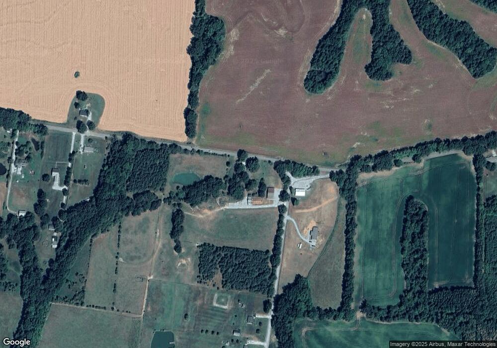
Map
Nearby Homes
- 736 Tippett Ln
- 1450 Friendship Rd
- 77 Upper Zion Rd
- 135 Davis Rd
- 855 Springfield Rd
- 00 Brownsville Hwy
- 0 Providence- I-40 Rd
- 273 Bond Cemetery Rd
- 113 Ebenezer Rd
- 449 Saint John Rd
- Tract 5 Bond Cemetery Rd
- Tract 4 Bond Cemetery Rd
- Tract 7 - 00 Bond Cemetery Rd
- Tract 6 - 00 Bond Cemetery Rd
- 276 Bond Cemetery Rd
- 00 Bond Cemetery Rd
- 470 Marbury Rd
- 2267 Anderson Ave
- 5596 79 Hwy N
- 00 Hwy 76 & Anderson Ave