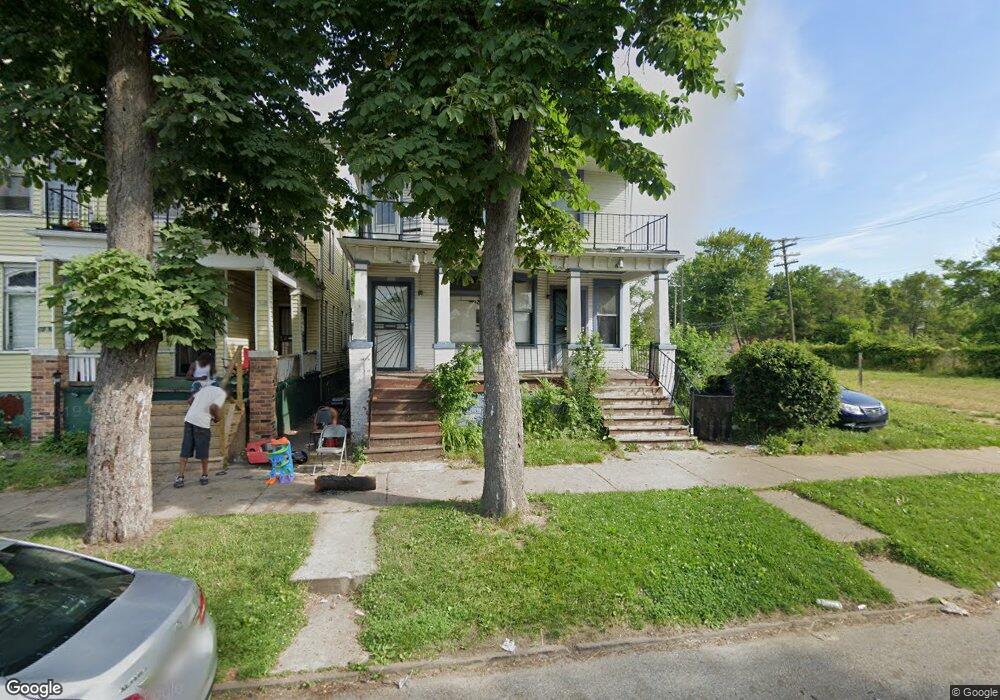
3693 Pulford St Detroit, MI 48207
McDougall-Hunt NeighborhoodEstimated Value: $59,000 - $169,703
--
Bed
2
Baths
2,195
Sq Ft
$43/Sq Ft
Est. Value
About This Home
This home is located at 3693 Pulford St, Detroit, MI 48207 and is currently estimated at $95,426, approximately $43 per square foot. 3693 Pulford St is a home located in Wayne County with nearby schools including Ralph J.Bunche Preparatory Academy, Charles L. Spain Elementary-Middle School, and Edward 'Duke' Ellington Conservatory of Music and Art.
Ownership History
Date
Name
Owned For
Owner Type
Purchase Details
Closed on
Feb 20, 2025
Sold by
United Community Housing Coalition
Bought by
Detroit Land Bank Authority
Current Estimated Value
Purchase Details
Closed on
Jan 15, 2020
Sold by
City Of Detriot
Bought by
United Community Housing Coalition
Purchase Details
Closed on
Sep 18, 2019
Sold by
County Of Wayne
Bought by
City Of Detroit Planning And Dev Dept
Purchase Details
Closed on
Apr 2, 2009
Sold by
Phillips Claurs Etta
Bought by
Holly Thelma Grace
Create a Home Valuation Report for This Property
The Home Valuation Report is an in-depth analysis detailing your home's value as well as a comparison with similar homes in the area
Home Values in the Area
Average Home Value in this Area
Purchase History
| Date | Buyer | Sale Price | Title Company |
|---|---|---|---|
| Detroit Land Bank Authority | -- | None Listed On Document | |
| United Community Housing Coalition | $136,587 | None Available | |
| City Of Detroit Planning And Dev Dept | $2,039 | None Available | |
| Holly Thelma Grace | -- | None Available |
Source: Public Records
Tax History Compared to Growth
Tax History
| Year | Tax Paid | Tax Assessment Tax Assessment Total Assessment is a certain percentage of the fair market value that is determined by local assessors to be the total taxable value of land and additions on the property. | Land | Improvement |
|---|---|---|---|---|
| 2025 | -- | $35,200 | $0 | $0 |
| 2024 | $2,082 | $29,600 | $0 | $0 |
| 2023 | $0 | $0 | $0 | $0 |
| 2022 | $909 | $0 | $0 | $0 |
| 2021 | $909 | $0 | $0 | $0 |
| 2019 | $987 | $16,400 | $0 | $0 |
| 2018 | $880 | $16,300 | $0 | $0 |
| 2017 | $148 | $16,000 | $0 | $0 |
| 2016 | $957 | $46,200 | $0 | $0 |
| 2015 | $770 | $7,700 | $0 | $0 |
| 2013 | $907 | $9,066 | $0 | $0 |
| 2010 | -- | $12,023 | $288 | $11,735 |
Source: Public Records
Map
Nearby Homes
- 3674 Mount Elliott St
- 3801 Ellery St
- 3641 Meldrum St
- 3658 Preston St
- 3644 Preston St
- 3229 Meldrum St
- 3223 Meldrum St
- 3945 Beaufait
- 3959 Beaufait
- 4228 Mount Elliott St
- 4017 Beaufait St
- 4257 Mount Elliott St
- 3720 Bellevue
- 3521 Concord St
- 3221 Concord St
- 3958 Concord St
- 3173 Concord St
- 3430 Arndt St
- 4613 Meldrum St
- 6329 Charlevoix St
- 3697 Pulford St
- 3687 Pulford St
- 3683 Pulford St
- 3705 Pulford St
- 3694 Zender Place
- 3690 Zender Place
- 3700 Zender Place
- 3676 Zender Place
- 3704 Zender Place
- 3712 Zender Place
- 3670 Zender Place
- 3707 Mount Elliott St
- 3659 Pulford St
- 3684 Zender Place
- 3729 Mount Elliott St
- 3664 Zender Place
- 3627 Mount Elliott St
- 3653 Pulford St
- 3658 Zender Place
- 3652 Zender Place