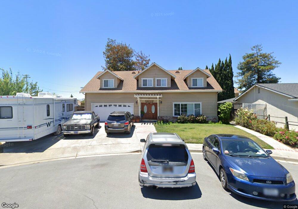
36947 Walnut St Newark, CA 94560
Estimated Value: $1,228,000 - $1,494,000
4
Beds
2
Baths
1,883
Sq Ft
$722/Sq Ft
Est. Value
About This Home
This home is located at 36947 Walnut St, Newark, CA 94560 and is currently estimated at $1,359,885, approximately $722 per square foot. 36947 Walnut St is a home located in Alameda County with nearby schools including August Schilling Elementary School, Newark Junior High School, and Newark Memorial High School.
Ownership History
Date
Name
Owned For
Owner Type
Purchase Details
Closed on
Mar 21, 2023
Sold by
Preciado Francisco J and Preciado Margarita C
Bought by
Preciado Family Trust
Current Estimated Value
Purchase Details
Closed on
Feb 1, 2001
Sold by
Delacerda Carlos and Delacerda Martha
Bought by
Preciado Francisco J and Preciado Margaritaz
Create a Home Valuation Report for This Property
The Home Valuation Report is an in-depth analysis detailing your home's value as well as a comparison with similar homes in the area
Home Values in the Area
Average Home Value in this Area
Purchase History
| Date | Buyer | Sale Price | Title Company |
|---|---|---|---|
| Preciado Family Trust | -- | -- | |
| Preciado Francisco J | -- | American Title Co |
Source: Public Records
Tax History
| Year | Tax Paid | Tax Assessment Tax Assessment Total Assessment is a certain percentage of the fair market value that is determined by local assessors to be the total taxable value of land and additions on the property. | Land | Improvement |
|---|---|---|---|---|
| 2025 | $7,112 | $561,953 | $167,247 | $394,706 |
| 2024 | $7,112 | $550,935 | $163,968 | $386,967 |
| 2023 | $6,915 | $540,134 | $160,753 | $379,381 |
| 2022 | $6,822 | $529,546 | $157,602 | $371,944 |
| 2021 | $6,654 | $519,163 | $154,512 | $364,651 |
| 2020 | $6,548 | $513,840 | $152,928 | $360,912 |
| 2019 | $6,456 | $503,766 | $149,929 | $353,837 |
| 2018 | $6,359 | $493,890 | $146,990 | $346,900 |
| 2017 | $6,199 | $484,209 | $144,109 | $340,100 |
| 2016 | $6,133 | $474,717 | $141,284 | $333,433 |
| 2015 | $6,113 | $467,588 | $139,162 | $328,426 |
| 2014 | $5,947 | $458,432 | $136,437 | $321,995 |
Source: Public Records
Map
Nearby Homes
- 7843 Railroad Ave
- 6417/6433 Thornton Ave
- 36563 Beutke Dr
- 8093 Del Monte Ave
- 37645 Bay Crest Rd
- 37471 Bay Crest Rd
- 37541 Bay Crest Rd
- 37029 Olive St
- 37721 Bay Crest Rd
- 36184 Toulouse St
- 37515 Sea Bank St
- 6364 Noel Ave
- 37119 Hickory St
- 8550 Boardwalk Way
- 6328 Zulmida Ave
- 9263 Vista Cove Way
- 8553 Schooner Way
- 37599 Sand Drift Rd
- 6245 Thornton Ave
- 37221 Salt Pond Place
- 36935 Walnut St
- 7950 Spruce Ct
- 7907 Thornton Ave
- 7923 Thornton Ave
- 36985 Walnut St
- 7939 Thornton Ave
- 36923 Walnut St
- 7974 Spruce Ct
- 36968 Walnut St
- 7955 Thornton Ave
- 7951 Spruce Ct
- 36911 Walnut St
- 7981 Thornton Ave
- 36930 Walnut St
- 7881 Thornton Ave
- 36926 Walnut St
- 7996 Spruce Ct
- 7973 Spruce Ct
- 36889 Walnut St
- 36994 Spruce St
Your Personal Tour Guide
Ask me questions while you tour the home.