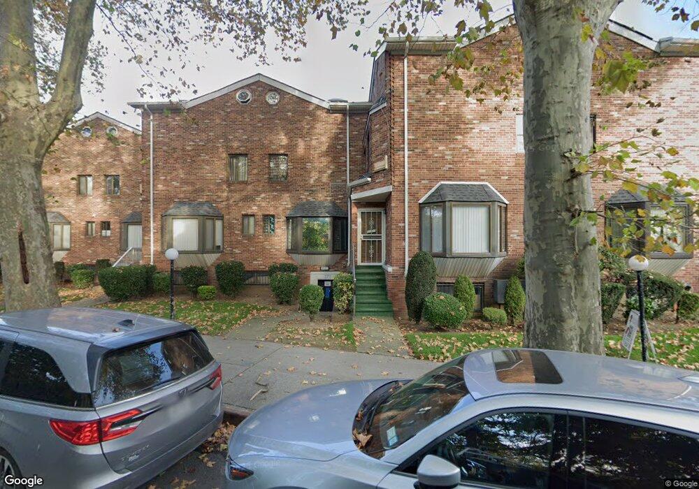
3695 Shore Pkwy Unit R1 Brooklyn, NY 11235
Sheepshead Bay NeighborhoodEstimated Value: $516,000 - $712,000
--
Bed
--
Bath
1,034
Sq Ft
$594/Sq Ft
Est. Value
About This Home
This home is located at 3695 Shore Pkwy Unit R1, Brooklyn, NY 11235 and is currently estimated at $614,444, approximately $594 per square foot. 3695 Shore Pkwy Unit R1 is a home located in Kings County with nearby schools including P.S. 52 Sheepshead Bay, Jhs 14 Shell Bank, and New Visions Charter High School for Advanced Math/ Science.
Ownership History
Date
Name
Owned For
Owner Type
Purchase Details
Closed on
Feb 11, 2016
Sold by
Bulkin Tatyana
Bought by
Gutkin Mikhail and Gutkin Yuriy
Current Estimated Value
Home Financials for this Owner
Home Financials are based on the most recent Mortgage that was taken out on this home.
Original Mortgage
$300,000
Outstanding Balance
$238,062
Interest Rate
3.81%
Mortgage Type
Purchase Money Mortgage
Estimated Equity
$376,382
Purchase Details
Closed on
Jun 14, 2001
Sold by
Bulkin Arkady
Bought by
Bulkin Tatyana
Create a Home Valuation Report for This Property
The Home Valuation Report is an in-depth analysis detailing your home's value as well as a comparison with similar homes in the area
Home Values in the Area
Average Home Value in this Area
Purchase History
| Date | Buyer | Sale Price | Title Company |
|---|---|---|---|
| Gutkin Mikhail | $400,000 | -- | |
| Bulkin Tatyana | -- | -- |
Source: Public Records
Mortgage History
| Date | Status | Borrower | Loan Amount |
|---|---|---|---|
| Open | Gutkin Mikhail | $300,000 |
Source: Public Records
Tax History Compared to Growth
Tax History
| Year | Tax Paid | Tax Assessment Tax Assessment Total Assessment is a certain percentage of the fair market value that is determined by local assessors to be the total taxable value of land and additions on the property. | Land | Improvement |
|---|---|---|---|---|
| 2025 | $4,213 | $28,299 | $816 | $27,483 |
| 2024 | $4,213 | $33,295 | $816 | $32,479 |
| 2023 | $4,233 | $35,942 | $816 | $35,126 |
| 2022 | $3,926 | $33,140 | $816 | $32,324 |
| 2021 | $3,904 | $29,485 | $816 | $28,669 |
| 2020 | $2,928 | $28,930 | $816 | $28,114 |
| 2019 | $3,657 | $28,930 | $816 | $28,114 |
| 2018 | $3,541 | $17,370 | $508 | $16,862 |
| 2017 | $3,340 | $16,387 | $517 | $15,870 |
| 2016 | $2,781 | $15,460 | $658 | $14,802 |
| 2015 | $1,645 | $14,585 | $816 | $13,769 |
| 2014 | $1,645 | $14,569 | $816 | $13,753 |
Source: Public Records
Map
Nearby Homes
- 3701 Shore Pkwy Unit 1
- 3655 Shore Pkwy Unit 2J
- 3678 Shore Pkwy
- 14A Lake Ave Unit A
- 2811 Haring St
- 2906 Voorhies Ave
- 14A Mesereau Ct
- 4050 Nostrand Ave Unit 1F
- 2961 Voorhies Ave
- 2963 Voorhies Ave
- 8 Lake Ave
- 2703 E 28th St
- 2800 E 29th St Unit 103
- 32 Lincoln Terrace
- 2900 E 29th St Unit 2E
- 7 Lake Ave
- 2663 Haring St
- 2809 E 28th St Unit 1C
- 2832 Brown St
- 3901 Nostrand Ave Unit LL4
- 3701 Shore Pkwy Unit 3R
- 3717 Shore Pkwy Unit R7
- 3709 Shore Pkwy Unit R5
- 3701 Shore Pkwy Unit R3
- 3699 Shore Pkwy Unit R2
- 3711 Shore Pkwy Unit R-11
- 3705 Shore Pkwy Unit R4
- 3713 Shore Pkwy Unit R6
- 3721 Shore Pkwy Unit R8
- 2742 Haring St
- 2742 Haring St Unit 1
- 2742 Haring St Unit 2
- 3989 Nostrand Ave
- 2736 Haring St
- 3985 Nostrand Ave
- 2730 Haring St
- 3983 Nostrand Ave
- 3981 Nostrand Ave
- 3979 Nostrand Ave
- 2728 Haring St